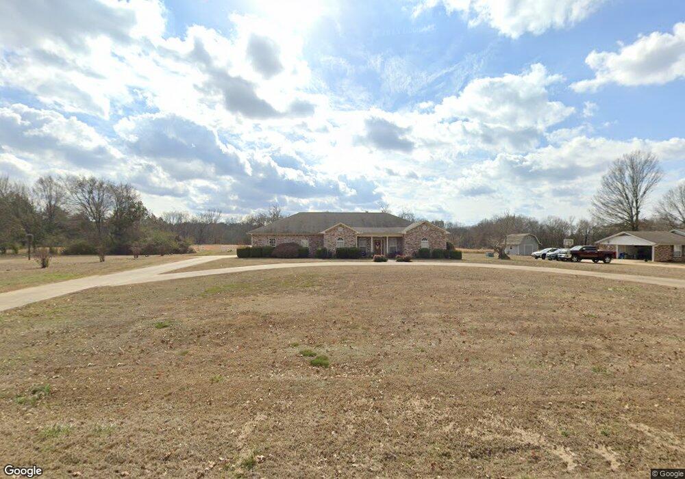
2015 W Main St Clarksville, AR 72830
Estimated Value: $213,803 - $257,000
3
Beds
3
Baths
1,756
Sq Ft
$129/Sq Ft
Est. Value
About This Home
This home is located at 2015 W Main St, Clarksville, AR 72830 and is currently estimated at $226,451, approximately $128 per square foot. 2015 W Main St is a home located in Johnson County with nearby schools including Clarksville Primary School, Clarksville Elementary School, and Clarksville Middle School.
Ownership History
Date
Name
Owned For
Owner Type
Purchase Details
Closed on
Oct 7, 2022
Sold by
Lee Richard
Bought by
English Jacqueline and English Charles
Current Estimated Value
Home Financials for this Owner
Home Financials are based on the most recent Mortgage that was taken out on this home.
Original Mortgage
$143,500
Outstanding Balance
$137,603
Interest Rate
5.55%
Mortgage Type
New Conventional
Estimated Equity
$88,848
Purchase Details
Closed on
Oct 23, 2020
Sold by
Wilson Joshua Caleb and Wilson Erin Wilson
Bought by
Lee Richard and Lee Susan
Home Financials for this Owner
Home Financials are based on the most recent Mortgage that was taken out on this home.
Original Mortgage
$135,000
Interest Rate
2.8%
Mortgage Type
New Conventional
Create a Home Valuation Report for This Property
The Home Valuation Report is an in-depth analysis detailing your home's value as well as a comparison with similar homes in the area
Home Values in the Area
Average Home Value in this Area
Purchase History
| Date | Buyer | Sale Price | Title Company |
|---|---|---|---|
| English Jacqueline | $193,500 | -- | |
| Lee Richard | $160,000 | Curran S Abstract & Ttl Co I |
Source: Public Records
Mortgage History
| Date | Status | Borrower | Loan Amount |
|---|---|---|---|
| Open | English Jacqueline | $143,500 | |
| Previous Owner | Lee Richard | $135,000 |
Source: Public Records
Tax History Compared to Growth
Tax History
| Year | Tax Paid | Tax Assessment Tax Assessment Total Assessment is a certain percentage of the fair market value that is determined by local assessors to be the total taxable value of land and additions on the property. | Land | Improvement |
|---|---|---|---|---|
| 2024 | $545 | $20,180 | $1,300 | $18,880 |
| 2023 | $620 | $20,180 | $1,300 | $18,880 |
| 2022 | $670 | $20,180 | $1,300 | $18,880 |
| 2021 | $670 | $20,180 | $1,300 | $18,880 |
| 2020 | $1,043 | $20,180 | $1,300 | $18,880 |
| 2019 | $993 | $19,170 | $1,300 | $17,870 |
| 2018 | $643 | $19,170 | $1,300 | $17,870 |
| 2017 | $993 | $19,170 | $1,300 | $17,870 |
| 2015 | $551 | $19,170 | $1,300 | $17,870 |
| 2014 | -- | $17,940 | $1,100 | $16,840 |
| 2013 | -- | $17,940 | $1,100 | $16,840 |
Source: Public Records
Map
Nearby Homes
- 205 Misty Ln
- 5 Arrowhead Ln
- 2240 W Main St
- 300 Cherokee Ln
- 3 Redwood Dr
- 116 Stegall Rd
- 1807 Ford Dr
- 37 Fontaine Dr
- 108 Sioux St
- 1711 W Cline St
- 102 Buffalo St
- 34-36 S Cline Rd
- Lot A U S Highway 64
- 800 Ray Rd
- 1220 W Sevier St
- TBD Shady Grove Rd
- 2411 Daniel Dr
- Lot A Valentina St
- 52 Freeway Ln
- 54-58 Freeway Ln
- 2011 W Main St
- 1800 W Main St
- 2010 W Main St
- 2008 W Main St
- 2004 W Main St
- 2013 W Main St
- 1901 E Main St
- 1900 E Main St
- 2024 W Main St
- 110 Misty Ln
- 2000 W Main St
- 2103 W Main St
- 0 Misty Ln Unit AV17-2455
- 0 Misty Ln Unit AV18-669
- 0 Misty Ln Unit 18-649
- 0 Misty Ln Unit 10-2342
- 0 Misty Ln
- lot 3 Misty Ln
- 0 Misty Ln