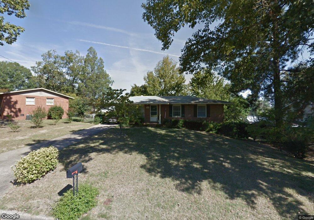
2015 Westminster Way Columbus, GA 31904
Northern Columbus NeighborhoodEstimated Value: $146,000 - $173,000
3
Beds
3
Baths
1,040
Sq Ft
$153/Sq Ft
Est. Value
About This Home
This home is located at 2015 Westminster Way, Columbus, GA 31904 and is currently estimated at $159,166, approximately $153 per square foot. 2015 Westminster Way is a home located in Muscogee County with nearby schools including Allen Elementary School, Arnold Middle School, and Jordan Vocational High School.
Ownership History
Date
Name
Owned For
Owner Type
Purchase Details
Closed on
Sep 27, 2019
Sold by
Garrett John Douglas
Bought by
Ford Anna Ladelle
Current Estimated Value
Purchase Details
Closed on
Oct 26, 2012
Sold by
Garrett John P
Bought by
Garrett Mary J
Create a Home Valuation Report for This Property
The Home Valuation Report is an in-depth analysis detailing your home's value as well as a comparison with similar homes in the area
Home Values in the Area
Average Home Value in this Area
Purchase History
| Date | Buyer | Sale Price | Title Company |
|---|---|---|---|
| Ford Anna Ladelle | -- | -- | |
| Garrett John Douglas | -- | -- | |
| Garrett Mary J | -- | -- |
Source: Public Records
Tax History Compared to Growth
Tax History
| Year | Tax Paid | Tax Assessment Tax Assessment Total Assessment is a certain percentage of the fair market value that is determined by local assessors to be the total taxable value of land and additions on the property. | Land | Improvement |
|---|---|---|---|---|
| 2025 | $898 | $43,624 | $10,440 | $33,184 |
| 2024 | $897 | $43,624 | $10,440 | $33,184 |
| 2023 | $209 | $43,624 | $10,440 | $33,184 |
| 2022 | $935 | $35,560 | $10,440 | $25,120 |
| 2021 | $932 | $36,132 | $10,440 | $25,692 |
| 2020 | $929 | $36,132 | $10,440 | $25,692 |
| 2019 | $1,480 | $36,132 | $10,440 | $25,692 |
| 2018 | $1,480 | $36,132 | $10,440 | $25,692 |
| 2017 | $31 | $36,132 | $10,440 | $25,692 |
| 2016 | $30 | $26,996 | $7,200 | $19,796 |
| 2015 | $31 | $26,996 | $7,200 | $19,796 |
| 2014 | $32 | $26,996 | $7,200 | $19,796 |
| 2013 | $34 | $26,996 | $7,200 | $19,796 |
Source: Public Records
Map
Nearby Homes
- 2014 Airport Thruway
- 2208 Airport Thruway
- 2119 Lancaster Dr
- 5534 Orchard Dr
- 5239 23rd Ave
- 5608 Grove Ave
- 2325 Coventry Dr
- 2222 51st St
- 1103 52nd St
- 5118 11th Ave
- 5110 11th Ave
- 5106 11th Ave
- 4814 20th Ave
- 4830 17th Ave
- 5601 Morris Ave
- 4714 18th Ave
- 2323 Devonshire Dr
- 2206 Devonshire Dr
- 2813 Hart Dr
- 2516 Lorraine St
- 2023 Westminster Way
- 2007 Westminster Way
- 1934 Westminster Way
- 2008 Airport Thruway
- 2029 Westminster Way
- 2020 Westminster Way
- 2022 Airport Thruway
- 2002 Airport Thruway
- 2004 Westminster Way
- 2103 Westminster Way
- 2100 Airport Thruway
- 5311 Oxford Dr
- 2104 Westminster Way
- 2109 Westminster Way
- 5310 Oxford Dr
- 5307 Oxford Dr
- 5401 Princeton Ave
- 2112 Airport Thruway
- 5400 Princeton Ave
- 2112 Westminster Way