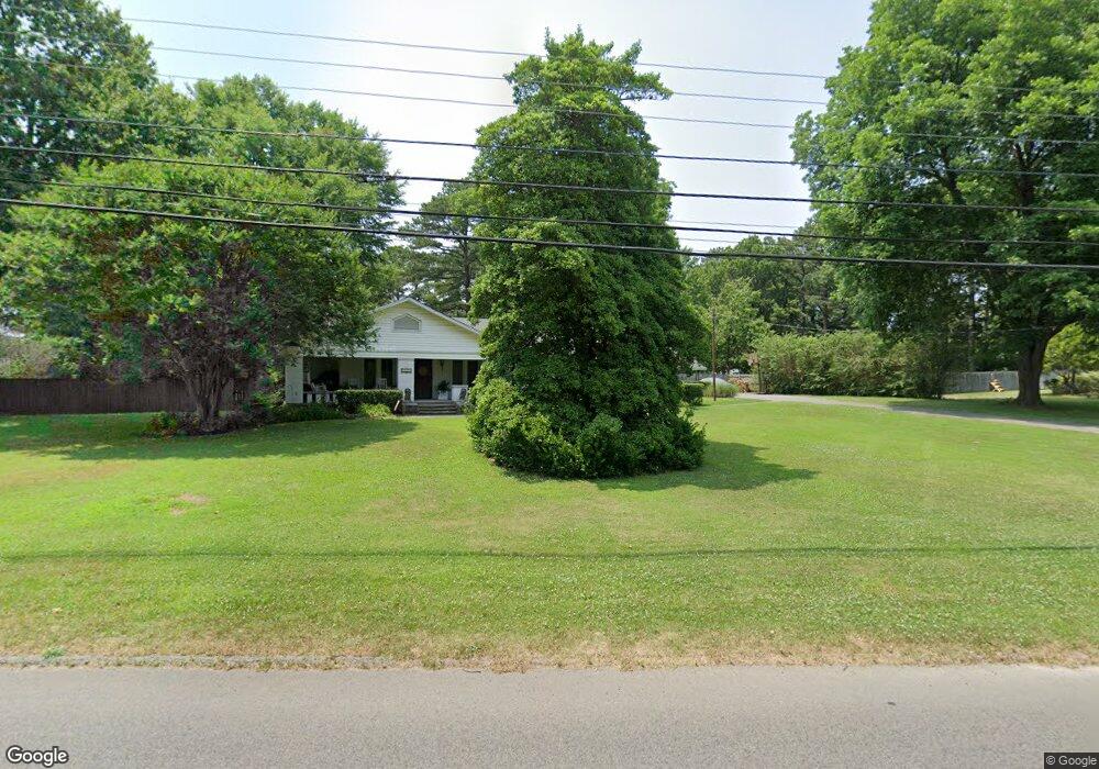
2015 Wood St Jonesboro, AR 72401
Estimated Value: $296,109 - $324,000
--
Bed
2
Baths
2,934
Sq Ft
$105/Sq Ft
Est. Value
About This Home
This home is located at 2015 Wood St, Jonesboro, AR 72401 and is currently estimated at $306,777, approximately $104 per square foot. 2015 Wood St is a home located in Craighead County with nearby schools including Annie Camp Junior High School, The Academies at Jonesboro High School, and Montessori School of Jonesboro.
Ownership History
Date
Name
Owned For
Owner Type
Purchase Details
Closed on
Mar 12, 2020
Sold by
Gossett J K J and Gossett Betty Jane
Bought by
Jackson Dennsi Calvin
Current Estimated Value
Purchase Details
Closed on
Dec 7, 2004
Sold by
Johnson Larry and Johnson Lou
Bought by
Cheatham William and Cheatham Marcie
Purchase Details
Closed on
Jul 11, 1997
Bought by
Cheatham
Purchase Details
Closed on
Jun 6, 1996
Bought by
Verser
Create a Home Valuation Report for This Property
The Home Valuation Report is an in-depth analysis detailing your home's value as well as a comparison with similar homes in the area
Home Values in the Area
Average Home Value in this Area
Purchase History
| Date | Buyer | Sale Price | Title Company |
|---|---|---|---|
| Jackson Dennsi Calvin | $189,500 | Professional Ttl Svcs Of Ar | |
| Cheatham William | $1,000 | None Available | |
| Cheatham | $157,000 | -- | |
| Verser | $202,000 | -- |
Source: Public Records
Tax History Compared to Growth
Tax History
| Year | Tax Paid | Tax Assessment Tax Assessment Total Assessment is a certain percentage of the fair market value that is determined by local assessors to be the total taxable value of land and additions on the property. | Land | Improvement |
|---|---|---|---|---|
| 2025 | $2,059 | $57,218 | $5,200 | $52,018 |
| 2024 | $2,059 | $57,218 | $5,200 | $52,018 |
| 2023 | $1,497 | $57,218 | $5,200 | $52,018 |
| 2022 | $1,460 | $57,218 | $5,200 | $52,018 |
| 2021 | $1,415 | $42,420 | $5,200 | $37,220 |
| 2020 | $1,415 | $42,420 | $5,200 | $37,220 |
| 2019 | $1,415 | $42,420 | $5,200 | $37,220 |
| 2018 | $1,440 | $42,420 | $5,200 | $37,220 |
| 2017 | $1,388 | $42,420 | $5,200 | $37,220 |
| 2016 | $1,305 | $39,220 | $5,200 | $34,020 |
| 2015 | $1,305 | $39,220 | $5,200 | $34,020 |
| 2014 | $1,305 | $39,220 | $5,200 | $34,020 |
Source: Public Records
Map
Nearby Homes
- 1202 Wood Cove
- 2005 Wood St
- 1823 James St
- 2305 Anne St
- 1821 James St
- 2311 Wood St
- 1808 Roy St
- 2318 Redbud Dr
- 718 Owens Ave
- 724 Locust Dr
- 2000 Broadmoor Rd
- 1104 Neville St
- 1608 Colonial Rd
- 625 Shadow Ln
- 795 S Hill Dr
- 2105 Rich Cove
- 1919 Sherwood Dr
- 0 Woodland Point Unit 10119892
- 0 Woodland Point Unit 10119893
- 0 Woodland Point Unit 10119896
- 0 Wood St Unit 10070456
- 0 Wood St Unit 10070136
- 0 Wood St Unit 17020850
- 0 Wood St Unit 17008547
- 0 Wood St Unit 17016572
- 0 Wood St Unit 17032033
- 0 Wood St Unit 18003124
- 2009 Wood St
- 2110 Greenwood St
- 2019 Wood St
- 1205 Wood Cove
- 2002 Greenwood St
- 2114 Greenwood St
- 1200 Fallwood Cir
- W Highland Dr
- 1101 W Highland Dr
- 1203 Wood Cove
- 2220 Wood St
- 2116 Greenwood St
- 1214 Sims Ave