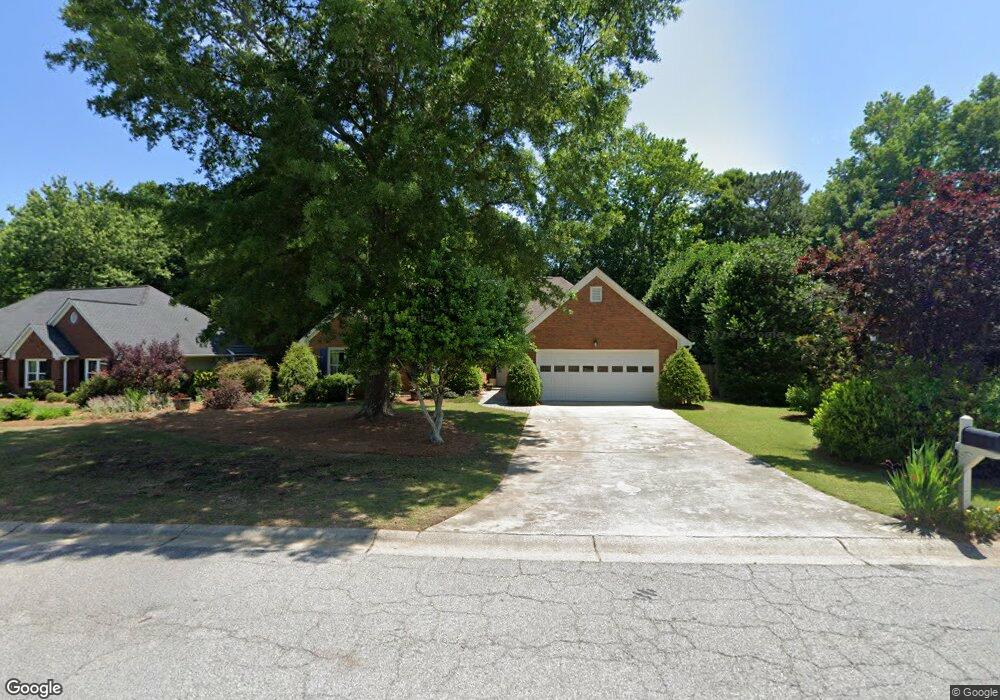
2015 Wynfield Point Dr Unit 1 Buford, GA 30519
Estimated Value: $364,679 - $389,000
3
Beds
2
Baths
1,923
Sq Ft
$197/Sq Ft
Est. Value
About This Home
This home is located at 2015 Wynfield Point Dr Unit 1, Buford, GA 30519 and is currently estimated at $377,920, approximately $196 per square foot. 2015 Wynfield Point Dr Unit 1 is a home located in Gwinnett County with nearby schools including Freeman's Mill Elementary School, Twin Rivers Middle School, and Mountain View High School.
Ownership History
Date
Name
Owned For
Owner Type
Purchase Details
Closed on
Jul 29, 1993
Sold by
Richardson Outler Prop
Bought by
Vanscott James C Ingrid
Current Estimated Value
Home Financials for this Owner
Home Financials are based on the most recent Mortgage that was taken out on this home.
Original Mortgage
$127,254
Interest Rate
7.5%
Mortgage Type
VA
Create a Home Valuation Report for This Property
The Home Valuation Report is an in-depth analysis detailing your home's value as well as a comparison with similar homes in the area
Home Values in the Area
Average Home Value in this Area
Purchase History
| Date | Buyer | Sale Price | Title Company |
|---|---|---|---|
| Vanscott James C Ingrid | $125,700 | -- |
Source: Public Records
Mortgage History
| Date | Status | Borrower | Loan Amount |
|---|---|---|---|
| Closed | Vanscott James C Ingrid | $127,254 |
Source: Public Records
Tax History
| Year | Tax Paid | Tax Assessment Tax Assessment Total Assessment is a certain percentage of the fair market value that is determined by local assessors to be the total taxable value of land and additions on the property. | Land | Improvement |
|---|---|---|---|---|
| 2025 | -- | $135,640 | $26,000 | $109,640 |
| 2024 | $947 | $133,720 | $32,000 | $101,720 |
| 2023 | $947 | $128,920 | $32,000 | $96,920 |
| 2022 | $0 | $111,760 | $24,000 | $87,760 |
| 2021 | $852 | $95,240 | $20,000 | $75,240 |
| 2020 | $891 | $95,240 | $20,000 | $75,240 |
| 2019 | $852 | $80,640 | $16,800 | $63,840 |
| 2018 | $811 | $80,640 | $16,800 | $63,840 |
| 2016 | $852 | $54,800 | $12,000 | $42,800 |
| 2015 | $864 | $54,800 | $12,000 | $42,800 |
| 2014 | $1,973 | $62,800 | $12,000 | $50,800 |
Source: Public Records
Map
Nearby Homes
- 1975 Wynfield Point Dr
- 1948 Trestlebrook Way Unit 3
- 2053 Arbor Springs Way
- 2012 Arbor Springs Way
- 2004 Brittlebank Ln
- 1965 Holland Park Dr NE
- 2159 Sunny Hill Rd
- 2199 Sunny Hill Rd
- 1845 Hanover West Dr
- 1939 Sunny Hill Rd
- 2220 Sunny Hill Rd
- 1876 Hanover West Dr
- 2242 Rocksram Ct
- 1798 Braselton Hwy
- 1846 Dorminey Ct Unit 2
- 2085 Kings Valley Dr
- 2317 Rocksram Ct
- 2305 Braselton Hwy
- 1521 Jami Hollow Way
- 1721 Crowes Lake Ct Unit 1
- 2005 Wynfield Point Dr Unit 1
- 2025 Wynfield Point Dr
- 6219 Wynfield Unit LOT 4C
- 6230 Wynfield
- 6219 Wynfield
- 1995 Wynfield Point Dr Unit 1
- 2045 Wynfield Point Dr
- 1999 Firelight Ln
- 2030 Wynfield Point Dr Unit 1
- 1985 Wynfield Point Dr
- 1984 Firelight Ln Unit 1
- 2055 Wynfield Point Dr
- 1989 Firelight Ln
- 1998 Trestlebrook Way
- 1983 Trestlebrook Way
- 1974 Firelight Ln Unit 4
- 1980 Wynfield Point Dr Unit 1
- 2065 Wynfield Point Dr
- 1973 Trestlebrook Way Unit 3
- 2070 Wynfield Point Dr
Your Personal Tour Guide
Ask me questions while you tour the home.