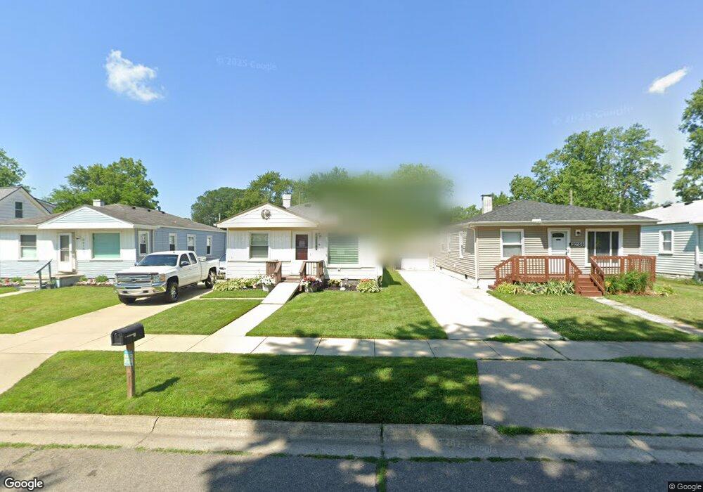
20151 Deering St Unit Bldg-Unit Livonia, MI 48152
Estimated Value: $173,211 - $194,000
3
Beds
1
Bath
1,058
Sq Ft
$174/Sq Ft
Est. Value
About This Home
This home is located at 20151 Deering St Unit Bldg-Unit, Livonia, MI 48152 and is currently estimated at $184,053, approximately $173 per square foot. 20151 Deering St Unit Bldg-Unit is a home located in Wayne County with nearby schools including Clarenceville High School, David Ellis Academy West, and Grand River Academy.
Ownership History
Date
Name
Owned For
Owner Type
Purchase Details
Closed on
Jan 26, 2018
Sold by
Dv2 Rentals Inc
Bought by
Nichols Martin P
Current Estimated Value
Home Financials for this Owner
Home Financials are based on the most recent Mortgage that was taken out on this home.
Original Mortgage
$82,025
Outstanding Balance
$69,380
Interest Rate
3.94%
Mortgage Type
New Conventional
Estimated Equity
$114,673
Purchase Details
Closed on
Jun 14, 2012
Sold by
Roszko Eugene A and Roszko Suzanne Y
Bought by
Onewest Bank Fsb
Create a Home Valuation Report for This Property
The Home Valuation Report is an in-depth analysis detailing your home's value as well as a comparison with similar homes in the area
Home Values in the Area
Average Home Value in this Area
Purchase History
| Date | Buyer | Sale Price | Title Company |
|---|---|---|---|
| Nichols Martin P | $96,500 | Liberty Title | |
| Onewest Bank Fsb | $20,000 | None Available |
Source: Public Records
Mortgage History
| Date | Status | Borrower | Loan Amount |
|---|---|---|---|
| Open | Nichols Martin P | $82,025 |
Source: Public Records
Tax History Compared to Growth
Tax History
| Year | Tax Paid | Tax Assessment Tax Assessment Total Assessment is a certain percentage of the fair market value that is determined by local assessors to be the total taxable value of land and additions on the property. | Land | Improvement |
|---|---|---|---|---|
| 2025 | $1,072 | $71,700 | $0 | $0 |
| 2024 | $1,072 | $64,100 | $0 | $0 |
| 2023 | $1,025 | $58,500 | $0 | $0 |
| 2022 | $1,703 | $53,000 | $0 | $0 |
| 2021 | $1,658 | $49,400 | $0 | $0 |
| 2019 | $1,616 | $43,000 | $0 | $0 |
| 2018 | $533 | $34,500 | $0 | $0 |
| 2017 | $814 | $31,700 | $0 | $0 |
| 2016 | $1,360 | $31,700 | $0 | $0 |
| 2015 | $2,426 | $29,250 | $0 | $0 |
| 2012 | -- | $26,540 | $6,690 | $19,850 |
Source: Public Records
Map
Nearby Homes
- 20159 Deering St
- 27725 Norfolk St
- 20229 Floral St
- 20135 Saint Francis St
- 20555 Angling St
- 20577 Angling St
- 27440 Fargo St
- 19661 Antago St
- 19499 Saint Francis St
- 19643 Inkster Rd
- 28418 W 8 Mile Rd Unit C1
- 28418 W 8 Mile Rd Unit A1
- 19904 Seminole
- 20919 Saint Francis St
- 20752 Inkster Rd
- 19783 Poinciana
- 19701 Seminole
- 19816 Poinciana
- 19800 Poinciana
- 19925 Negaunee
- 20151 Deering St
- 20143 Deering St
- 20135 Deering St
- 20167 Deering St
- 20126 Floral St
- 20128 Floral St
- 20129 Deering St
- 20124 Floral St
- 20134 Floral St
- 20201 Deering St
- 20116 Floral St
- 20125 Deering St
- 20150 Deering St
- 20142 Deering St
- 20158 Deering St
- 20114 Floral St
- 20134 Deering St
- 20203 Deering St
- 20206 Floral St
- 20130 Deering St