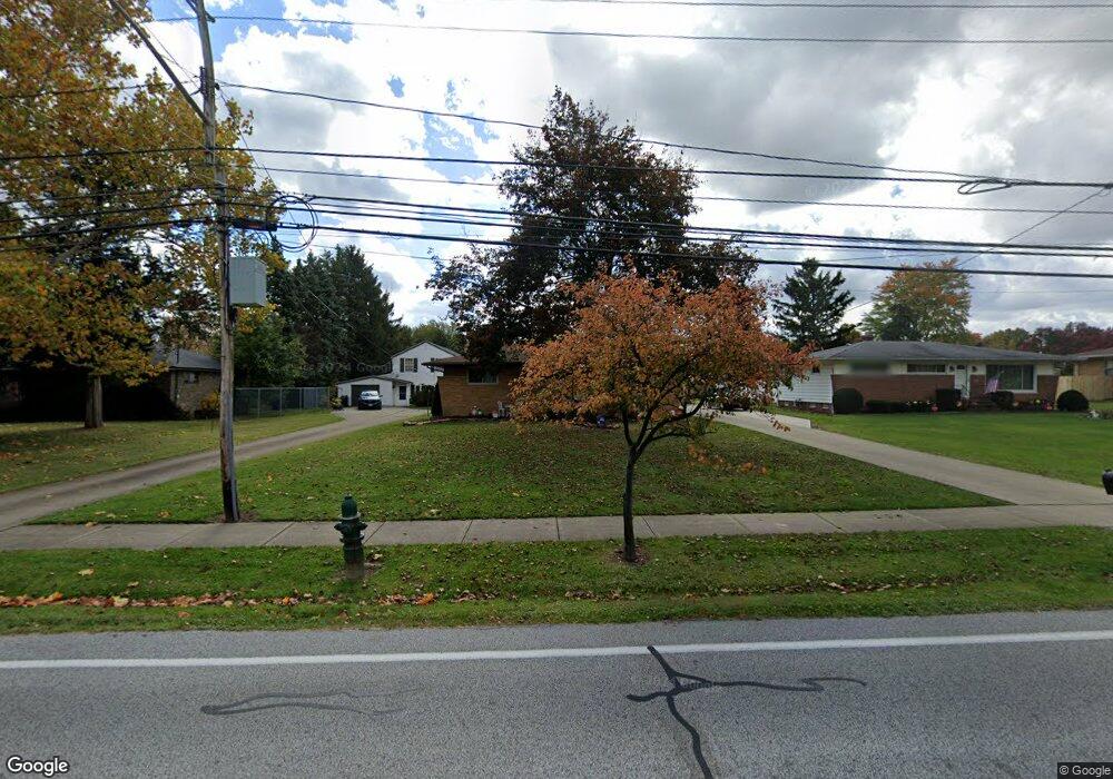
20151 Lunn Rd Strongsville, OH 44149
Estimated Value: $263,243 - $280,000
3
Beds
2
Baths
1,292
Sq Ft
$209/Sq Ft
Est. Value
About This Home
This home is located at 20151 Lunn Rd, Strongsville, OH 44149 and is currently estimated at $270,061, approximately $209 per square foot. 20151 Lunn Rd is a home located in Cuyahoga County with nearby schools including Strongsville High School, Strongsville Academy, and Strongsville Montessori School.
Ownership History
Date
Name
Owned For
Owner Type
Purchase Details
Closed on
Apr 9, 2020
Sold by
Mehnert William P and Mehnert Mark W
Bought by
Mehnert William P and Mehnert Kathleen A
Current Estimated Value
Purchase Details
Closed on
Mar 9, 2012
Sold by
Mehnert William R
Bought by
Mehnert William P and Mehnert Mark W
Purchase Details
Closed on
Oct 18, 2005
Sold by
Mehnert Margaret M and Mehnert William E
Bought by
Mehnert William R
Purchase Details
Closed on
Jun 24, 1982
Sold by
Mehnert Margaret M
Bought by
William R Mehnert
Purchase Details
Closed on
Jan 1, 1975
Bought by
Mehnert Margaret M
Create a Home Valuation Report for This Property
The Home Valuation Report is an in-depth analysis detailing your home's value as well as a comparison with similar homes in the area
Home Values in the Area
Average Home Value in this Area
Purchase History
| Date | Buyer | Sale Price | Title Company |
|---|---|---|---|
| Mehnert William P | $73,000 | Ohio First Land Title | |
| Mehnert William P | -- | Attorney | |
| Mehnert William R | -- | -- | |
| William R Mehnert | -- | -- | |
| Mehnert Margaret M | -- | -- |
Source: Public Records
Tax History Compared to Growth
Tax History
| Year | Tax Paid | Tax Assessment Tax Assessment Total Assessment is a certain percentage of the fair market value that is determined by local assessors to be the total taxable value of land and additions on the property. | Land | Improvement |
|---|---|---|---|---|
| 2024 | $3,625 | $77,210 | $9,415 | $67,795 |
| 2023 | $3,726 | $58,250 | $13,760 | $44,490 |
| 2022 | $3,621 | $58,240 | $13,760 | $44,490 |
| 2021 | $3,592 | $58,240 | $13,760 | $44,490 |
| 2020 | $3,563 | $51,100 | $12,080 | $39,030 |
| 2019 | $3,458 | $146,000 | $34,500 | $111,500 |
| 2018 | $2,870 | $51,100 | $12,080 | $39,030 |
| 2017 | $2,650 | $39,940 | $9,840 | $30,100 |
| 2016 | $2,628 | $39,940 | $9,840 | $30,100 |
| 2015 | $2,588 | $39,940 | $9,840 | $30,100 |
| 2014 | $2,588 | $38,790 | $9,560 | $29,230 |
Source: Public Records
Map
Nearby Homes
- 15017 Regency Dr
- 15279 Walnut Creek Dr
- 20678 Spruce Dr
- 20078 Trapper Trail
- 14896 Britannia Ct
- 19513 Lunn Rd
- 19908 Stoughton Dr
- VL Lunn Rd
- 19620 Porters Ln Unit 15F
- 14890 Prospect Rd
- 15447 Oak Hollow Ln
- 14400 Prospect Rd
- 14112 Settlers Way
- 15001 Scarlet Oak Trail
- 15379 Old Oak Dr
- 19311 Bradford Ct
- 20393 Wildwood Ln
- 19160 Wheelers Ln
- 19297 Lauren Way
- 20121 Driftwood Ct
- 20181 Lunn Rd
- 20113 Lunn Rd
- 20143 Lunn Rd
- 20215 Lunn Rd
- 15249 Walnut Creek Dr
- 15251 Walnut Creek Dr
- 20180 Lunn Rd
- 20150 Lunn Rd
- 20210 Lunn Rd
- 15253 Walnut Creek Dr
- 20244 Lunn Rd
- 20275 Lunn Rd
- 20142 Lunn Rd
- 15255 Walnut Creek Dr
- 20242 Birchwood Ln
- 20278 Lunn Rd
- 20084 Lunn Rd
- 15257 Walnut Creek Dr
- 20244 Birchwood Ln
- 20333 Lunn Rd