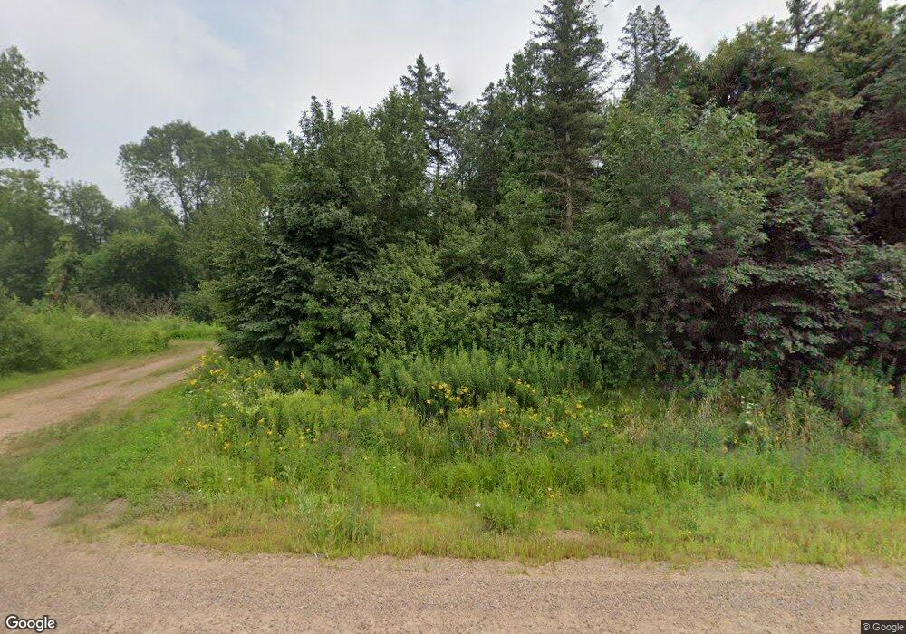
201539 State Highway 97 Marshfield, WI 54449
Estimated Value: $58,256
--
Bed
--
Bath
--
Sq Ft
17.67
Acres
About This Home
This home is located at 201539 State Highway 97, Marshfield, WI 54449 and is currently priced at $58,256. 201539 State Highway 97 is a home located in Marathon County with nearby schools including Marshfield High School, St. John Primary School, and Immanuel Lutheran School.
Ownership History
Date
Name
Owned For
Owner Type
Purchase Details
Closed on
Dec 23, 2022
Sold by
Sebastian Donald J
Bought by
Guldan Aaron D and Guldan Mandy A.
Current Estimated Value
Purchase Details
Closed on
Nov 30, 2021
Sold by
Draheim William D
Bought by
Sebastian Donald J
Purchase Details
Closed on
Mar 11, 2016
Sold by
Maguire Marina C
Bought by
Draheim William D
Purchase Details
Closed on
Jan 10, 2008
Sold by
Draheim William
Bought by
Draheim William D and Maguire Marina C
Purchase Details
Closed on
Aug 29, 2005
Sold by
Draheim William D
Bought by
Marathon County
Create a Home Valuation Report for This Property
The Home Valuation Report is an in-depth analysis detailing your home's value as well as a comparison with similar homes in the area
Home Values in the Area
Average Home Value in this Area
Purchase History
| Date | Buyer | Sale Price | Title Company |
|---|---|---|---|
| Guldan Aaron D | $50,000 | Gowey Abstract And Title | |
| Sebastian Donald J | $100,000 | Gowey Abstract & Title | |
| Draheim William D | -- | None Available | |
| Draheim William D | -- | None Available | |
| Marathon County | $2,200 | None Available |
Source: Public Records
Tax History Compared to Growth
Tax History
| Year | Tax Paid | Tax Assessment Tax Assessment Total Assessment is a certain percentage of the fair market value that is determined by local assessors to be the total taxable value of land and additions on the property. | Land | Improvement |
|---|---|---|---|---|
| 2021 | $929 | $60,500 | $45,600 | $14,900 |
| 2020 | $898 | $60,500 | $45,600 | $14,900 |
| 2019 | $893 | $60,500 | $45,600 | $14,900 |
| 2018 | $857 | $60,500 | $45,600 | $14,900 |
| 2017 | $955 | $60,500 | $45,600 | $14,900 |
| 2016 | $929 | $60,500 | $45,600 | $14,900 |
| 2015 | $1,141 | $70,300 | $45,600 | $24,700 |
| 2014 | $1,133 | $70,300 | $45,600 | $24,700 |
Source: Public Records
Map
Nearby Homes
- 1505 N Hume Ave
- 1701 N Palmetto Ave
- 1607-1609 E Upham St
- 1601 N Apple Ave
- 1407 N Peach Ave Unit Lot 215
- 112104 Winterberry Cir
- 1509-1511 N Hume Ave
- 110985 Candlewood Ct
- 416 W Leonhard St
- 116365 Birch Tree Rd
- 8483 County Road Y
- 509 E Franklin St
- 717 N Cedar Ave
- 1511 N Broadway Ave
- 512 N Vine Ave
- Lot #1 Meadow Ave
- 2502 E Fillmore St
- 500 N Auburn Ave
- 313 N Maple Ave
- 309 N Palmetto Ave
- 201540 State Highway 97
- 201348 Galvin Ave
- 201628 State Highway 97
- 201400 State Highway 97
- 201310 Galvin Ave
- 201310 Galvin Ave
- 201650 State Highway 97
- 135 N Galvin Ave
- 201477 Galvin Ave
- 0 Mann St Unit 1703765
- 0 Mann St Unit 50096992
- 0 Mann St Unit 22003439
- 0 Mann St Unit 22003413
- 0 Mann St Unit 21807895
- 201808 Galvin Ave
- 201383 Galvin Ave
- 68.85 acres Galvin Ave
- 12.064 Acres Galvin Ave
- 76.63 Acres Galvin Ave Unit Quincy
- 201311 Galvin Ave
