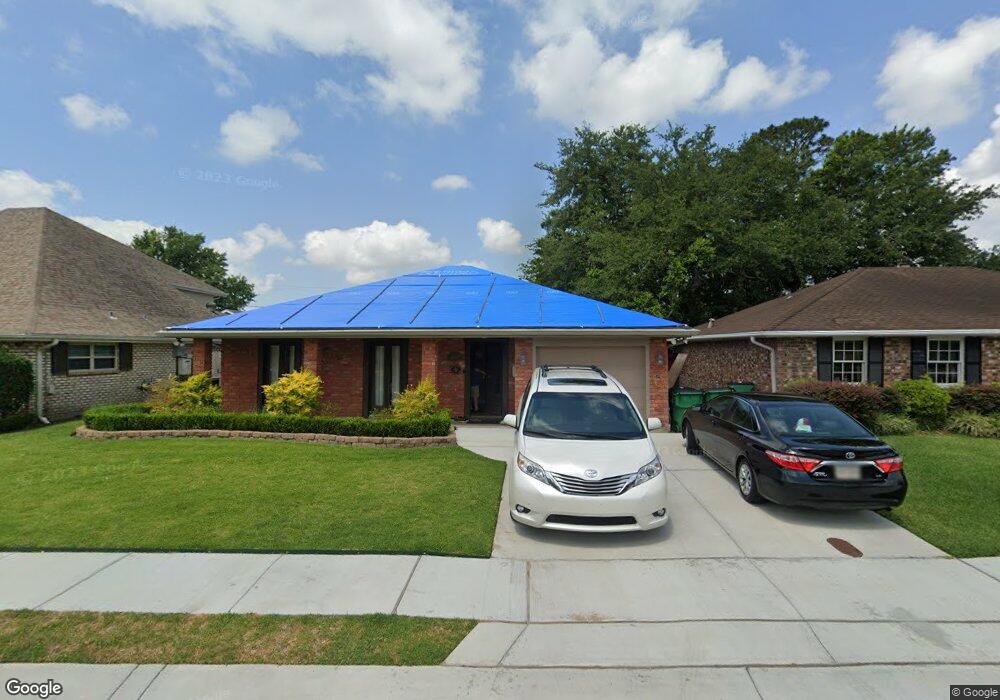
2016 Division St Metairie, LA 70001
New Metairie NeighborhoodEstimated Value: $372,000 - $464,000
4
Beds
2
Baths
2,075
Sq Ft
$194/Sq Ft
Est. Value
About This Home
This home is located at 2016 Division St, Metairie, LA 70001 and is currently estimated at $401,890, approximately $193 per square foot. 2016 Division St is a home located in Jefferson Parish with nearby schools including Joseph C. Moscona School, Metairie Academy For Advanced Studies, and Gardner Middle School.
Ownership History
Date
Name
Owned For
Owner Type
Purchase Details
Closed on
Nov 17, 2017
Sold by
Baudier Murphy Tami Lynn
Bought by
Howard Robert E and Howard Kathryn
Current Estimated Value
Home Financials for this Owner
Home Financials are based on the most recent Mortgage that was taken out on this home.
Original Mortgage
$332,500
Outstanding Balance
$279,060
Interest Rate
3.91%
Mortgage Type
New Conventional
Estimated Equity
$122,830
Create a Home Valuation Report for This Property
The Home Valuation Report is an in-depth analysis detailing your home's value as well as a comparison with similar homes in the area
Home Values in the Area
Average Home Value in this Area
Purchase History
| Date | Buyer | Sale Price | Title Company |
|---|---|---|---|
| Howard Robert E | $350,000 | Title Management Group Inc |
Source: Public Records
Mortgage History
| Date | Status | Borrower | Loan Amount |
|---|---|---|---|
| Open | Howard Robert E | $332,500 |
Source: Public Records
Tax History Compared to Growth
Tax History
| Year | Tax Paid | Tax Assessment Tax Assessment Total Assessment is a certain percentage of the fair market value that is determined by local assessors to be the total taxable value of land and additions on the property. | Land | Improvement |
|---|---|---|---|---|
| 2024 | $83 | $33,250 | $7,860 | $25,390 |
| 2023 | $4,374 | $33,250 | $7,530 | $25,720 |
| 2022 | $4,260 | $33,250 | $7,530 | $25,720 |
| 2021 | $3,956 | $33,250 | $7,530 | $25,720 |
| 2020 | $3,928 | $33,250 | $7,530 | $25,720 |
| 2019 | $4,038 | $33,250 | $7,530 | $25,720 |
| 2018 | $3,771 | $33,250 | $7,530 | $25,720 |
| 2017 | $2,110 | $18,610 | $7,530 | $11,080 |
| 2016 | $2,069 | $18,610 | $7,530 | $11,080 |
| 2015 | $1,189 | $18,070 | $7,400 | $10,670 |
| 2014 | $1,189 | $18,070 | $7,400 | $10,670 |
Source: Public Records
Map
Nearby Homes
- 2012 Edenborn Ave
- 1808 Bonnie St
- 1821 N Turnbull Dr
- 2104 06 Caswell Ln
- 1613 N Turnbull Dr
- 2100 N Turnbull Dr
- 2515 N Turnbull Dr
- 2301 Edenborn Ave Unit 708
- 2301 Edenborn Ave Unit 507
- 2301 Edenborn Ave Unit 307
- 3748 Annette Dr
- 2105 Belmont Place
- 2104 Belmont Place
- 1501 Edenborn Ave
- 2120 Belmont Place
- 2330 Edenborn Ave Unit 302
- 2330 Edenborn Ave Unit 116
- 1700 Madison St
- 2313 N Turnbull Dr
- 2012 Division St
- 2020 Division St
- 2100 Division St
- 2008 Division St
- 1913 Emily St
- 1917 Emily St
- 2013 Division St
- 2001 Emily St
- 3735 Danville St
- 1909 Emily St
- 3732 39th St
- 2004 Division St
- 3704 Fran St
- 3731 Danville St
- 1905 Emily St
- 2023 Division St
- 3712 Fran St
- 3708 Fran St
- 3728 39th St
- 3729 Danville St