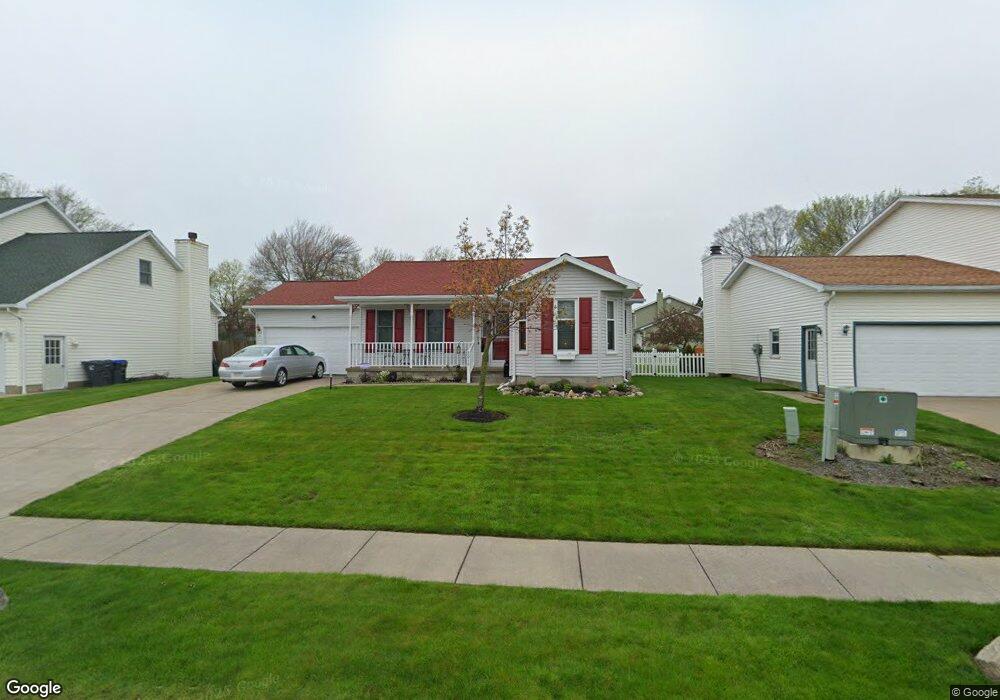
2016 E Gore Rd Erie, PA 16510
Millcreek NeighborhoodEstimated Value: $322,000 - $357,000
2
Beds
2
Baths
1,758
Sq Ft
$191/Sq Ft
Est. Value
About This Home
This home is located at 2016 E Gore Rd, Erie, PA 16510 and is currently estimated at $335,335, approximately $190 per square foot. 2016 E Gore Rd is a home located in Erie County with nearby schools including Belle Valley Elementary School, McDowell High School, and James S. Wilson Middle School.
Ownership History
Date
Name
Owned For
Owner Type
Purchase Details
Closed on
May 31, 2013
Sold by
Dombrowski Mark and Dombrowski Mark
Bought by
Husted Marian
Current Estimated Value
Create a Home Valuation Report for This Property
The Home Valuation Report is an in-depth analysis detailing your home's value as well as a comparison with similar homes in the area
Home Values in the Area
Average Home Value in this Area
Purchase History
| Date | Buyer | Sale Price | Title Company |
|---|---|---|---|
| Husted Marian | -- | None Available |
Source: Public Records
Tax History Compared to Growth
Tax History
| Year | Tax Paid | Tax Assessment Tax Assessment Total Assessment is a certain percentage of the fair market value that is determined by local assessors to be the total taxable value of land and additions on the property. | Land | Improvement |
|---|---|---|---|---|
| 2025 | $5,207 | $189,450 | $36,600 | $152,850 |
| 2024 | $5,070 | $189,450 | $36,600 | $152,850 |
| 2023 | $4,787 | $189,450 | $36,600 | $152,850 |
| 2022 | $4,599 | $189,450 | $36,600 | $152,850 |
| 2021 | $4,549 | $189,450 | $36,600 | $152,850 |
| 2020 | $4,502 | $189,450 | $36,600 | $152,850 |
| 2019 | $4,427 | $189,450 | $36,600 | $152,850 |
| 2018 | $4,318 | $189,450 | $36,600 | $152,850 |
| 2017 | $4,309 | $189,450 | $36,600 | $152,850 |
| 2016 | $5,147 | $189,450 | $36,600 | $152,850 |
| 2015 | $5,100 | $189,450 | $36,600 | $152,850 |
| 2014 | $1,607 | $189,450 | $36,600 | $152,850 |
Source: Public Records
Map
Nearby Homes
- 2034 E Gore Rd
- 0 Conrad Rd
- 4315 Fargo St
- 4206 Stanton St
- 4030 Mcclelland Ave
- 2021 E 38th St
- 3950 Rice Ave
- 2227 E 38th St
- 2259 E 38th St
- 3816 Stanton St
- 2554 Pepper Tree Dr
- 4102 Davison Ave
- 4309 Koehler Rd
- 5149 Henderson Rd Unit 139
- 5149 Henderson Rd Unit 110
- 1323 E Grandview Blvd
- 1621 E 37th St
- 4816 Avellino Dr
- 2738 E 44th St
- 8220 Wattsburg Rd
- 2022 E Gore Rd
- 2010 E Gore Rd
- 2028 E Gore Rd
- 2004 E Gore Rd
- 4717 Genesee Ave
- 2015 E Gore Rd
- 2021 E Gore Rd
- 2009 E Gore Rd
- 1950 E Gore Rd
- 2027 E Gore Rd
- 2003 E Gore Rd
- 4714 Genesee Ave
- 4711 Genesee Ave
- 2033 E Gore Rd
- 1944 E Gore Rd
- 1949 E Gore Rd
- 4744 Foxboro Ct
- 4738 Foxboro Ct
- 2021 Zenith Dr
- 4732 Foxboro Ct