2016 Knightsbridge Rd Unit C227 Macon, GA 31211
Estimated Value: $102,018 - $127,000
3
Beds
1
Bath
1,004
Sq Ft
$113/Sq Ft
Est. Value
About This Home
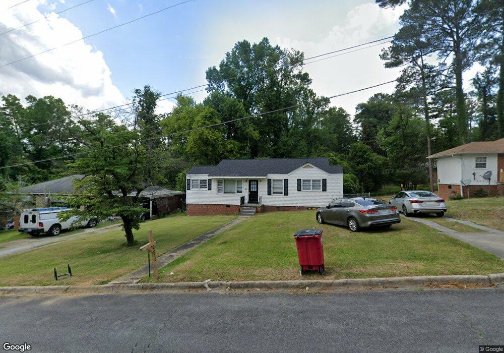
This home is located at 2016 Knightsbridge Rd Unit C227, Macon, GA 31211 and is currently estimated at $113,505, approximately $113 per square foot. 2016 Knightsbridge Rd Unit C227 is a home located in Bibb County with nearby schools including Martin Luther King Jr. Elementary School, Appling Middle School, and Northeast High School.
Ownership History
Date
Name
Owned For
Owner Type
Purchase Details
Closed on
Mar 29, 2022
Sold by
Dmd Property Holdings Llc
Bought by
Sfr3-050 Llc
Current Estimated Value
Purchase Details
Closed on
Feb 6, 2019
Sold by
Patel Alpesh
Bought by
Dmd Property Holdings Llc
Purchase Details
Closed on
Aug 30, 2016
Sold by
Dean
Bought by
Patel Alpesh
Purchase Details
Closed on
Sep 19, 1997
Sold by
Roquemore Nettie Young
Bought by
Roquemore Nettie Young
Create a Home Valuation Report for This Property
The Home Valuation Report is an in-depth analysis detailing your home's value as well as a comparison with similar homes in the area
Purchase History
| Date | Buyer | Sale Price | Title Company |
|---|---|---|---|
| Sfr3-050 Llc | $557,500 | Burgess Title | |
| Sfr3-050 Llc | $557,500 | Burgess Title | |
| Dmd Property Holdings Llc | -- | None Listed On Document | |
| Dmd Property Holdings Llc | -- | None Listed On Document | |
| Patel Alpesh | $22,500 | -- | |
| Roquemore Nettie Young | -- | -- |
Source: Public Records
Tax History
| Year | Tax Paid | Tax Assessment Tax Assessment Total Assessment is a certain percentage of the fair market value that is determined by local assessors to be the total taxable value of land and additions on the property. | Land | Improvement |
|---|---|---|---|---|
| 2025 | $1,273 | $51,809 | $4,160 | $47,649 |
| 2024 | $1,175 | $46,278 | $2,600 | $43,678 |
| 2023 | $1,222 | $41,267 | $1,560 | $39,707 |
| 2022 | $519 | $14,991 | $2,588 | $12,403 |
| 2021 | $427 | $11,234 | $1,650 | $9,584 |
| 2020 | $392 | $10,107 | $1,650 | $8,457 |
| 2019 | $396 | $10,107 | $1,650 | $8,457 |
| 2018 | $786 | $10,107 | $1,650 | $8,457 |
| 2017 | $337 | $10,107 | $1,650 | $8,457 |
| 2016 | $387 | $11,186 | $1,650 | $9,536 |
| 2015 | $205 | $11,186 | $1,650 | $9,536 |
| 2014 | $509 | $15,114 | $2,400 | $12,714 |
Source: Public Records
Map
Nearby Homes
- 2458 Tredway Dr
- 2418 Tredway Dr
- 2630 Pauladale Dr
- 2639 Tredway Dr
- 2721 Kensington Place
- 2675 Pauladale Dr
- 2504 Bedford Place
- 2557 Hyde Park Rd
- 2361 Ollie Dr
- 2285 New Clinton Rd
- 1977 Thomas Dr
- 2229 New Clinton Rd
- 2161 Melton Ave
- 240 Neptune Ct
- 2066 Melton Ave
- 837 Artic Cir
- 155 Alton Rd
- 1775 Denton St
- 1235 Boone St
- 1957 Kitchens Rd
- 2016 Knightsbridge Rd
- 2016 Knightsbridge Rd
- 2024 Knightsbridge Rd
- 2010 Knightsbridge Rd
- 2032 Knightsbridge Rd
- 2004 Knightsbridge Rd
- 2479 Tredway Dr
- 2495 Tredway Dr
- 2471 Tredway Dr
- 2015 Knightsbridge Rd
- 2023 Knightsbridge Rd
- 2009 Knightsbridge Rd
- 2040 Knightsbridge Rd
- 2463 Tredway Dr
- 2031 Knightsbridge Rd
- 2503 Tredway Dr
- 2003 Knightsbridge Rd
- 2455 Tredway Dr
- 2039 Knightsbridge Rd
- 2048 Knightsbridge Rd
Your Personal Tour Guide
Ask me questions while you tour the home.