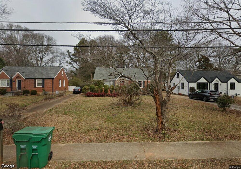
2016 Mcafee Rd Decatur, GA 30032
East Lake NeighborhoodEstimated Value: $304,000 - $371,000
3
Beds
2
Baths
1,267
Sq Ft
$266/Sq Ft
Est. Value
About This Home
This home is located at 2016 Mcafee Rd, Decatur, GA 30032 and is currently estimated at $337,531, approximately $266 per square foot. 2016 Mcafee Rd is a home located in DeKalb County with nearby schools including McNair Middle School, McNair High School, and Charles Drew Charter School.
Ownership History
Date
Name
Owned For
Owner Type
Purchase Details
Closed on
Sep 16, 2010
Sold by
Tuso Ron
Bought by
Reisinger Andrew
Current Estimated Value
Home Financials for this Owner
Home Financials are based on the most recent Mortgage that was taken out on this home.
Original Mortgage
$120,082
Outstanding Balance
$78,526
Interest Rate
4.25%
Mortgage Type
FHA
Estimated Equity
$259,005
Purchase Details
Closed on
Aug 8, 2010
Sold by
Brady Family Trust
Bought by
Tuso Ronald
Home Financials for this Owner
Home Financials are based on the most recent Mortgage that was taken out on this home.
Original Mortgage
$120,082
Outstanding Balance
$78,526
Interest Rate
4.25%
Mortgage Type
FHA
Estimated Equity
$259,005
Purchase Details
Closed on
Feb 12, 2001
Sold by
Brady Juanita
Bought by
Brady Family Trust
Home Financials for this Owner
Home Financials are based on the most recent Mortgage that was taken out on this home.
Original Mortgage
$63,263
Interest Rate
7.03%
Create a Home Valuation Report for This Property
The Home Valuation Report is an in-depth analysis detailing your home's value as well as a comparison with similar homes in the area
Home Values in the Area
Average Home Value in this Area
Purchase History
| Date | Buyer | Sale Price | Title Company |
|---|---|---|---|
| Reisinger Andrew | $121,700 | -- | |
| Tuso Ronald | -- | -- | |
| Brady Family Trust | $75,200 | -- |
Source: Public Records
Mortgage History
| Date | Status | Borrower | Loan Amount |
|---|---|---|---|
| Open | Reisinger Andrew | $120,082 | |
| Previous Owner | Brady Family Trust | $63,263 |
Source: Public Records
Tax History
| Year | Tax Paid | Tax Assessment Tax Assessment Total Assessment is a certain percentage of the fair market value that is determined by local assessors to be the total taxable value of land and additions on the property. | Land | Improvement |
|---|---|---|---|---|
| 2025 | $3,119 | $117,160 | $38,480 | $78,680 |
| 2024 | $2,867 | $104,000 | $29,120 | $74,880 |
| 2023 | $2,867 | $104,000 | $29,120 | $74,880 |
Source: Public Records
Map
Nearby Homes
- 1978 Terry Mill Rd SE
- 2049 Mcafee Rd
- 1967 Cogar Dr
- 1926 Second Ave
- 1944 Delphine Dr
- 1933 Camellia Dr
- 1893 Burning Tree Dr
- 2112 Juanita St
- 101 Dancing Fox Rd Unit 101
- 2006 Mcafee Place
- 2164 Rockhaven Cir
- 2148 Lilac Ln
- 2152 Lilac Ln
- 2030 Mark Trail
- 721 Fayetteville Rd SE Unit 612
- 410 Carter Ave SE
- 2181 Juanita St
- 2021 Connie Ln
- 701 Daniel Ave
- 1868 Longdale Dr
- 2020 Mcafee Rd
- 2010 Mcafee Rd
- 2026 Mcafee Rd Unit 25
- 2026 Mcafee Rd
- 2006 Mcafee Rd
- 2032 Mcafee Rd
- 2002 Mcafee Rd
- 2019 Marco Dr
- 2013 Marco Dr
- 0 Mcafee Rd Unit 7590557
- 2023 Marco Dr
- 2009 Marco Dr
- 2029 Marco Dr
- 2036 Mcafee Rd
- 1996 Mcafee Rd
- 1996 Mcafee Rd
- 2005 Marco Dr
- 2017 Mcafee Rd
- 2025 Mcafee Rd
- 2035 Marco Dr
Your Personal Tour Guide
Ask me questions while you tour the home.