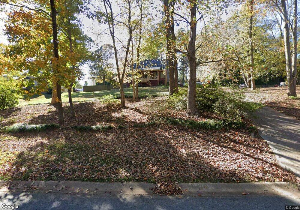
2016 Meadows Dr Woodstock, GA 30188
Union Hill NeighborhoodEstimated Value: $379,000 - $416,000
3
Beds
2
Baths
2,140
Sq Ft
$183/Sq Ft
Est. Value
About This Home
This home is located at 2016 Meadows Dr, Woodstock, GA 30188 and is currently estimated at $391,623, approximately $183 per square foot. 2016 Meadows Dr is a home located in Cherokee County with nearby schools including Johnston Elementary School, Mill Creek Middle School, and River Ridge High School.
Ownership History
Date
Name
Owned For
Owner Type
Purchase Details
Closed on
Aug 22, 2005
Sold by
Dangar Greg A
Bought by
Quinn Michael D
Current Estimated Value
Home Financials for this Owner
Home Financials are based on the most recent Mortgage that was taken out on this home.
Original Mortgage
$188,168
Outstanding Balance
$97,654
Interest Rate
5.57%
Estimated Equity
$293,969
Create a Home Valuation Report for This Property
The Home Valuation Report is an in-depth analysis detailing your home's value as well as a comparison with similar homes in the area
Home Values in the Area
Average Home Value in this Area
Purchase History
| Date | Buyer | Sale Price | Title Company |
|---|---|---|---|
| Quinn Michael D | $156,000 | -- |
Source: Public Records
Mortgage History
| Date | Status | Borrower | Loan Amount |
|---|---|---|---|
| Open | Quinn Michael D | $188,168 |
Source: Public Records
Tax History Compared to Growth
Tax History
| Year | Tax Paid | Tax Assessment Tax Assessment Total Assessment is a certain percentage of the fair market value that is determined by local assessors to be the total taxable value of land and additions on the property. | Land | Improvement |
|---|---|---|---|---|
| 2025 | $987 | $143,304 | $32,000 | $111,304 |
| 2024 | $956 | $143,104 | $32,000 | $111,104 |
| 2023 | $2,828 | $108,824 | $23,600 | $85,224 |
| 2022 | $2,709 | $103,064 | $23,600 | $79,464 |
| 2021 | $2,838 | $99,984 | $17,200 | $82,784 |
| 2020 | $2,667 | $93,864 | $17,200 | $76,664 |
| 2019 | $2,322 | $81,720 | $16,000 | $65,720 |
| 2018 | $2,125 | $74,320 | $16,000 | $58,320 |
| 2017 | $2,055 | $178,300 | $15,200 | $56,120 |
| 2016 | $1,902 | $163,300 | $12,400 | $52,920 |
| 2015 | $1,819 | $154,700 | $12,400 | $49,480 |
| 2014 | $1,692 | $143,600 | $12,400 | $45,040 |
Source: Public Records
Map
Nearby Homes
- 711 Evans St
- 707 Evans St
- 5830 Mill Creek Ln
- 126 Highlands Dr Unit 1
- 2875 Trickum Rd
- 106 Thornwood Dr
- 524 S Holly Springs Rd
- 230 Haleys Ct
- 512 S Holly Springs Rd
- 120 Sweetbriar Farm Rd
- 161 Stoney Creek Pkwy
- 129 Haleys Cir
- 157 Springwater Trace
- 414 New Park Dr
- 217 Sweetbriar Club Dr
- 614 Springharbor Dr
- 0 O Hara Dr Unit 8443973
- 0 O Hara Dr Unit 6064833
- 600 Woodall Dr
- 2014 Meadows Dr
- 703 Evans St
- 602 Woodall Dr
- 604 Woodall Dr
- 705 Evans St
- 2021 Meadows Dr
- 2023 Meadows Dr
- 0 Meadows Dr Unit 8017005
- 0 Meadows Dr Unit 8876035
- 2019 Meadows Dr
- 2020 Meadows Dr
- 603 Woodall Dr
- 0 Evans St Unit 7559546
- 0 Evans St Unit 10502514
- 0 Evans St Unit 7490032
- 2025 Meadows Dr
- 613 Woodall Dr
- 2017 Meadows Dr
- 2012 Meadows Dr