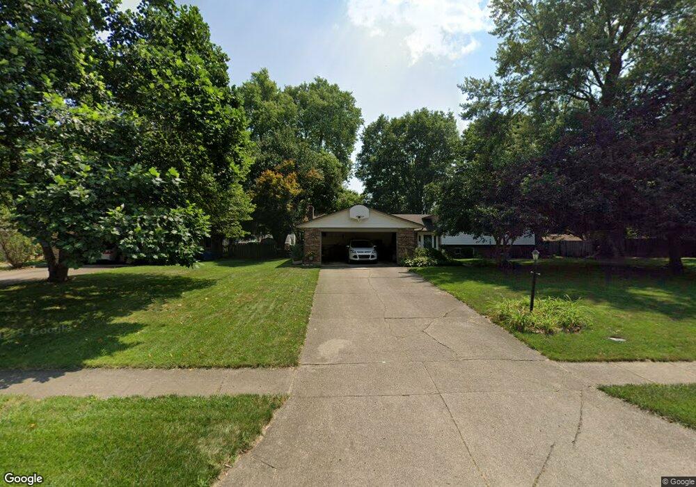
2016 Meadowside Ln Dayton, OH 45458
Estimated Value: $374,000 - $400,000
4
Beds
3
Baths
2,236
Sq Ft
$173/Sq Ft
Est. Value
About This Home
This home is located at 2016 Meadowside Ln, Dayton, OH 45458 and is currently estimated at $385,785, approximately $172 per square foot. 2016 Meadowside Ln is a home located in Montgomery County with nearby schools including Primary Village South, Cline Elementary, and Tower Heights Middle School.
Ownership History
Date
Name
Owned For
Owner Type
Purchase Details
Closed on
Aug 17, 1998
Sold by
Hornbostel Mark W and Hornbostel Cynthia D
Bought by
Duerr John E and Duerr Patricia J
Current Estimated Value
Home Financials for this Owner
Home Financials are based on the most recent Mortgage that was taken out on this home.
Original Mortgage
$141,750
Outstanding Balance
$29,752
Interest Rate
6.99%
Estimated Equity
$356,033
Create a Home Valuation Report for This Property
The Home Valuation Report is an in-depth analysis detailing your home's value as well as a comparison with similar homes in the area
Home Values in the Area
Average Home Value in this Area
Purchase History
| Date | Buyer | Sale Price | Title Company |
|---|---|---|---|
| Duerr John E | $157,500 | Dayton Title Agency Inc | |
| Duerr John E | $157,500 | -- |
Source: Public Records
Mortgage History
| Date | Status | Borrower | Loan Amount |
|---|---|---|---|
| Open | Duerr John E | $141,750 |
Source: Public Records
Tax History Compared to Growth
Tax History
| Year | Tax Paid | Tax Assessment Tax Assessment Total Assessment is a certain percentage of the fair market value that is determined by local assessors to be the total taxable value of land and additions on the property. | Land | Improvement |
|---|---|---|---|---|
| 2024 | $7,142 | $115,920 | $19,040 | $96,880 |
| 2023 | $7,142 | $115,920 | $19,040 | $96,880 |
| 2022 | $6,737 | $86,520 | $14,210 | $72,310 |
| 2021 | $6,756 | $86,520 | $14,210 | $72,310 |
| 2020 | $6,747 | $86,520 | $14,210 | $72,310 |
| 2019 | $6,475 | $74,190 | $14,210 | $59,980 |
| 2018 | $5,783 | $74,190 | $14,210 | $59,980 |
| 2017 | $5,721 | $74,190 | $14,210 | $59,980 |
| 2016 | $5,219 | $63,770 | $14,210 | $49,560 |
| 2015 | $5,135 | $63,770 | $14,210 | $49,560 |
| 2014 | $5,135 | $63,770 | $14,210 | $49,560 |
| 2012 | -- | $68,990 | $14,210 | $54,780 |
Source: Public Records
Map
Nearby Homes
- 2006 Washington Creek Ln
- 2044 Meadowside Ln
- 9258 Clyo Rd
- 9038 Woodstream Ln
- 9424 Clyo Rd
- 9777 Knoll Creek Ct
- 8580 Hide a Way Ln
- 9101 Rooks Rd
- 9354 Buckboard Dr
- 0 Rooks Rd
- 2037 Stablehand Dr
- 9139 Indian Springs Ct
- 2780 E Spring Valley Pike
- 1947 Horseshoe Bend
- 1943 Horseshoe Bend
- 8754 Elysee Cir
- 9266 Ridings Blvd
- 8730 Dowd Ct
- 1890 Horseshoe Bend
- 1886 Horseshoe Bend
- 2020 Meadowside Ln
- 2012 Meadowside Ln
- 8928 Deep Forest Ln
- 8932 Deep Forest Ln
- 8924 Deep Forest Ln
- 2024 Meadowside Ln
- 2017 Meadowside Ln
- 2009 Meadowside Ln
- 2008 Meadowside Ln
- 8936 Deep Forest Ln
- 2021 Meadowside Ln
- 8920 Deep Forest Ln
- 2025 Meadowside Ln
- 2028 Meadowside Ln
- 8916 Deep Forest Ln
- 8940 Deep Forest Ln
- 2004 Meadowside Ln
- 2003 Meadowside Ln
- 2012 Washington Creek Ln
- 2029 Meadowside Ln