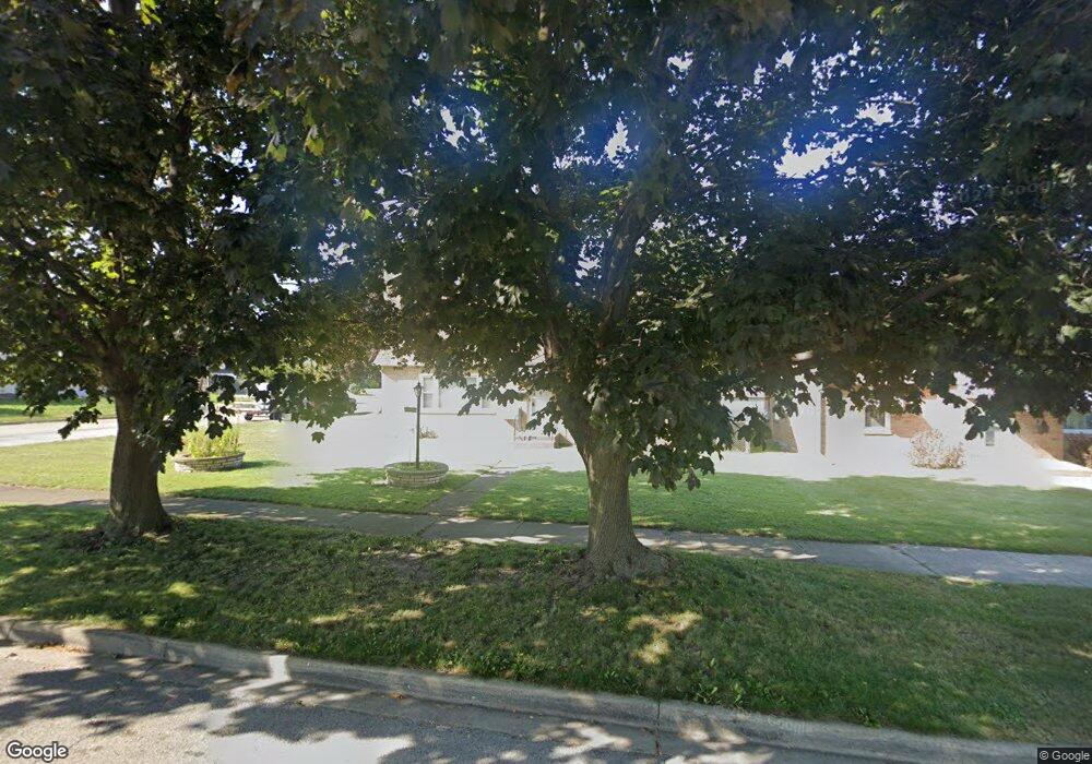
2016 Pearsall Pkwy Waukegan, IL 60085
Norshore Park NeighborhoodEstimated Value: $253,838 - $293,000
2
Beds
1
Bath
1,580
Sq Ft
$170/Sq Ft
Est. Value
About This Home
This home is located at 2016 Pearsall Pkwy, Waukegan, IL 60085 and is currently estimated at $267,960, approximately $169 per square foot. 2016 Pearsall Pkwy is a home located in Lake County with nearby schools including Clearview Elementary School, John R Lewis Middle School, and Waukegan High School.
Ownership History
Date
Name
Owned For
Owner Type
Purchase Details
Closed on
Apr 15, 2024
Sold by
Friedrich Leon C and Friedrich Moira Greene
Bought by
Friedrich Jason M
Current Estimated Value
Purchase Details
Closed on
Jun 24, 2004
Sold by
Mayer Laura A
Bought by
Greene Friedrich Leon C and Greene Friedrich Moira
Home Financials for this Owner
Home Financials are based on the most recent Mortgage that was taken out on this home.
Original Mortgage
$144,000
Interest Rate
6.35%
Mortgage Type
Purchase Money Mortgage
Purchase Details
Closed on
Oct 7, 1999
Sold by
Mayer Laura A and Oneil Eva L
Bought by
Mayer Laura A
Home Financials for this Owner
Home Financials are based on the most recent Mortgage that was taken out on this home.
Original Mortgage
$114,877
Interest Rate
8.21%
Mortgage Type
FHA
Purchase Details
Closed on
Sep 16, 1999
Sold by
House Terry W and House Barbara
Bought by
Mayer Laura A and Oneil Eva L
Home Financials for this Owner
Home Financials are based on the most recent Mortgage that was taken out on this home.
Original Mortgage
$114,877
Interest Rate
8.21%
Mortgage Type
FHA
Create a Home Valuation Report for This Property
The Home Valuation Report is an in-depth analysis detailing your home's value as well as a comparison with similar homes in the area
Home Values in the Area
Average Home Value in this Area
Purchase History
| Date | Buyer | Sale Price | Title Company |
|---|---|---|---|
| Friedrich Jason M | -- | None Listed On Document | |
| Greene Friedrich Leon C | $180,000 | -- | |
| Mayer Laura A | -- | -- | |
| Mayer Laura A | $137,000 | -- |
Source: Public Records
Mortgage History
| Date | Status | Borrower | Loan Amount |
|---|---|---|---|
| Previous Owner | Greene Friedrich Leon C | $144,000 | |
| Previous Owner | Mayer Laura A | $114,877 |
Source: Public Records
Tax History Compared to Growth
Tax History
| Year | Tax Paid | Tax Assessment Tax Assessment Total Assessment is a certain percentage of the fair market value that is determined by local assessors to be the total taxable value of land and additions on the property. | Land | Improvement |
|---|---|---|---|---|
| 2024 | $5,446 | $67,442 | $11,989 | $55,453 |
| 2023 | $5,975 | $57,756 | $10,267 | $47,489 |
| 2022 | $5,975 | $61,123 | $10,276 | $50,847 |
| 2021 | $5,481 | $52,575 | $8,825 | $43,750 |
| 2020 | $5,552 | $48,980 | $8,222 | $40,758 |
| 2019 | $5,588 | $44,882 | $7,534 | $37,348 |
| 2018 | $5,236 | $39,453 | $9,693 | $29,760 |
| 2017 | $4,965 | $34,905 | $8,576 | $26,329 |
| 2016 | $4,687 | $30,331 | $7,452 | $22,879 |
| 2015 | $4,586 | $27,147 | $6,670 | $20,477 |
| 2014 | $4,670 | $27,606 | $6,920 | $20,686 |
| 2012 | $5,788 | $29,907 | $7,497 | $22,410 |
Source: Public Records
Map
Nearby Homes
- 819 S Fulton Ave
- 1712 11th St
- 12601 W Atlantic Ave
- 2116 & 2101 Williamsburg Dr
- 1511 14th St
- 910 Cummings Ave
- 2726 W Hidden Glen Dr
- 446 S Jackson St
- 1244 Victoria Ave
- 815 Prescott St
- 724 10th St
- 1521 Seymour Ave
- 1210 Park Ave
- 631 8th St
- 49 S Lewis Ave
- 3027 Belvidere Rd
- 842 Wadsworth Ave
- 1521 Catalpa Ave
- 1101 Adams St
- 600 Sunderlin St
- 2010 Pearsall Pkwy
- 2006 Pearsall Pkwy
- 2102 Pearsall Pkwy
- 2017 8th Pkwy
- 2013 8th Pkwy
- 2009 8th Pkwy
- 2000 Pearsall Pkwy
- 2017 Pearsall Pkwy
- 2106 Pearsall Pkwy
- 2011 Pearsall Pkwy
- 2103 8th Pkwy
- 2021 Pearsall Pkwy
- 2007 Pearsall Pkwy
- 2103 Pearsall Pkwy
- 2005 8th Pkwy
- 2109 8th Pkwy
- 1924 Pearsall Pkwy
- 2110 Pearsall Pkwy
- 2001 Pearsall Pkwy
- 2109 Pearsall Pkwy