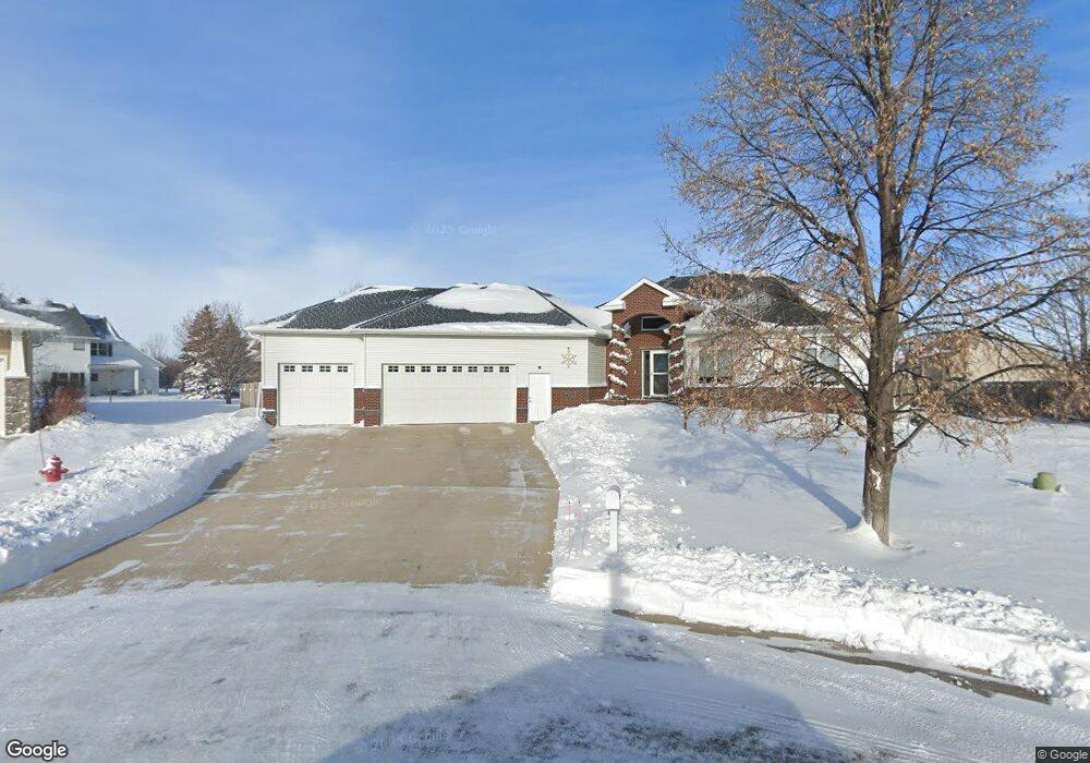
2016 Ruxton Ct West Fargo, ND 58078
Charleswood NeighborhoodEstimated Value: $611,000 - $659,919
5
Beds
3
Baths
3,658
Sq Ft
$173/Sq Ft
Est. Value
About This Home
This home is located at 2016 Ruxton Ct, West Fargo, ND 58078 and is currently estimated at $633,230, approximately $173 per square foot. 2016 Ruxton Ct is a home located in Cass County with nearby schools including South Elementary School, Cheney Middle School, and West Fargo High School.
Ownership History
Date
Name
Owned For
Owner Type
Purchase Details
Closed on
Dec 11, 2017
Sold by
Taylor Steven Z and Taylor Barbara S
Bought by
Becher Scott R and Becher Jill A
Current Estimated Value
Home Financials for this Owner
Home Financials are based on the most recent Mortgage that was taken out on this home.
Original Mortgage
$236,000
Outstanding Balance
$131,385
Interest Rate
3.94%
Mortgage Type
New Conventional
Estimated Equity
$501,845
Purchase Details
Closed on
Dec 14, 2007
Sold by
Kotrba Jacob J and Kotrba Diane R
Bought by
Taylor Steven Z and Taylor Barbara S
Home Financials for this Owner
Home Financials are based on the most recent Mortgage that was taken out on this home.
Original Mortgage
$240,000
Interest Rate
6.31%
Mortgage Type
New Conventional
Create a Home Valuation Report for This Property
The Home Valuation Report is an in-depth analysis detailing your home's value as well as a comparison with similar homes in the area
Home Values in the Area
Average Home Value in this Area
Purchase History
| Date | Buyer | Sale Price | Title Company |
|---|---|---|---|
| Becher Scott R | $436,000 | Title Co | |
| Taylor Steven Z | -- | -- |
Source: Public Records
Mortgage History
| Date | Status | Borrower | Loan Amount |
|---|---|---|---|
| Open | Becher Scott R | $236,000 | |
| Previous Owner | Taylor Steven Z | $240,000 |
Source: Public Records
Tax History Compared to Growth
Tax History
| Year | Tax Paid | Tax Assessment Tax Assessment Total Assessment is a certain percentage of the fair market value that is determined by local assessors to be the total taxable value of land and additions on the property. | Land | Improvement |
|---|---|---|---|---|
| 2024 | $7,735 | $295,550 | $49,600 | $245,950 |
| 2023 | $7,811 | $277,750 | $49,600 | $228,150 |
| 2022 | $7,916 | $269,500 | $49,600 | $219,900 |
| 2021 | $7,500 | $245,450 | $44,350 | $201,100 |
| 2020 | $7,008 | $236,450 | $44,350 | $192,100 |
| 2019 | $6,721 | $232,850 | $44,350 | $188,500 |
| 2018 | $6,275 | $227,000 | $44,350 | $182,650 |
| 2017 | $6,404 | $237,800 | $44,350 | $193,450 |
| 2016 | $5,660 | $230,250 | $44,350 | $185,900 |
| 2015 | $5,799 | $218,450 | $31,500 | $186,950 |
| 2014 | $7,568 | $204,150 | $31,500 | $172,650 |
| 2013 | $7,514 | $195,950 | $31,500 | $164,450 |
Source: Public Records
Map
Nearby Homes
- 2024 Ruxton Ct
- 2015 Ruxton Ct
- 2017 5th St E
- 2009 5th St E
- 1929 6th St E
- 2032 Ruxton Ct
- 2025 5th St E
- 2023 Ruxton Ct
- 2033 5th St E
- 535 Wellington Ct
- 1921 6th St E
- 2040 Ruxton Ct
- 2031 Ruxton Ct
- 1952 Queensbury St
- 544 Wellington Ct
- 2041 5th St E
- 2041 5 St E
- 1944 Queensbury St
- 2039 Ruxton Ct
- 1913 6th St E