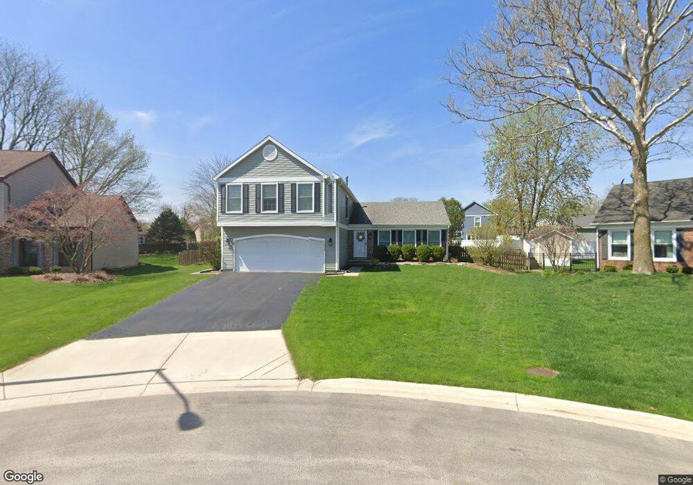
2016 Stallion Ct Wheaton, IL 60189
Estimated Value: $475,058 - $561,000
3
Beds
3
Baths
1,962
Sq Ft
$268/Sq Ft
Est. Value
About This Home
This home is located at 2016 Stallion Ct, Wheaton, IL 60189 and is currently estimated at $525,765, approximately $267 per square foot. 2016 Stallion Ct is a home located in DuPage County with nearby schools including Arbor View Elementary School, Glen Crest Middle School, and Glenbard South High School.
Ownership History
Date
Name
Owned For
Owner Type
Purchase Details
Closed on
Apr 30, 1999
Sold by
Smith Marc A and Smith Catherine M
Bought by
Bristow John P and Bristow Nancy A
Current Estimated Value
Home Financials for this Owner
Home Financials are based on the most recent Mortgage that was taken out on this home.
Original Mortgage
$166,000
Outstanding Balance
$42,891
Interest Rate
7.04%
Estimated Equity
$482,874
Create a Home Valuation Report for This Property
The Home Valuation Report is an in-depth analysis detailing your home's value as well as a comparison with similar homes in the area
Home Values in the Area
Average Home Value in this Area
Purchase History
| Date | Buyer | Sale Price | Title Company |
|---|---|---|---|
| Bristow John P | $207,500 | -- |
Source: Public Records
Mortgage History
| Date | Status | Borrower | Loan Amount |
|---|---|---|---|
| Open | Bristow John P | $166,000 |
Source: Public Records
Tax History
| Year | Tax Paid | Tax Assessment Tax Assessment Total Assessment is a certain percentage of the fair market value that is determined by local assessors to be the total taxable value of land and additions on the property. | Land | Improvement |
|---|---|---|---|---|
| 2024 | $9,644 | $135,659 | $36,970 | $98,689 |
| 2023 | $9,205 | $124,870 | $34,030 | $90,840 |
| 2022 | $8,821 | $118,010 | $32,160 | $85,850 |
| 2021 | $8,821 | $115,210 | $31,400 | $83,810 |
| 2020 | $8,907 | $114,140 | $31,110 | $83,030 |
| 2019 | $8,676 | $111,130 | $30,290 | $80,840 |
| 2018 | $8,684 | $109,970 | $28,540 | $81,430 |
| 2017 | $8,082 | $105,920 | $27,490 | $78,430 |
| 2016 | $7,959 | $101,690 | $26,390 | $75,300 |
| 2015 | $7,898 | $97,020 | $25,180 | $71,840 |
| 2014 | $7,726 | $93,660 | $22,590 | $71,070 |
| 2013 | $7,493 | $93,940 | $22,660 | $71,280 |
Source: Public Records
Map
Nearby Homes
- 1580 College Ln S
- 23W070 Mulberry Ln
- 23W160 Woodcroft Dr
- 2S744 Lakeside Dr Unit 21
- 1922 Cambridge Ln
- 3S481 Osage Dr
- 22W425 Arbor Ln
- 3S240 Burr Oak Dr
- 953 Cordova Ct
- 448 Raintree Ct Unit 1C
- 131 Christina Cir
- 453 Raintree Dr Unit 5A
- 453 Raintree Dr Unit 1H
- 470 Fawell Blvd Unit 203
- 429 Sandhurst Cir Unit 1
- 440 Raintree Ct Unit 1G
- 478 Raintree Ct Unit 2B
- 450 Raintree Ct Unit 2M
- 450 Raintree Ct Unit 2B
- 1678 Groton Ct
- 2020 Stallion Ct
- 2008 Stallion Ct
- 1921 Clydesdale Dr
- 1917 Clydesdale Dr
- 2034 Stallion Ct
- 1913 Clydesdale Dr
- 2003 Stallion Ct
- 1943 Shetland Dr
- 2027 Stallion Ct
- 1929 Shetland Dr
- 1909 Clydesdale Dr
- 1955 Shetland Dr
- 2050 Stallion Ct
- 2011 Stallion Ct
- 2016 Appaloosa Ct W
- 2041 Stallion Ct
- 1983 Shetland Dr
- 2030 Appaloosa Ct W
- 1905 Clydesdale Dr Unit 4B
- 1912 Clydesdale Dr