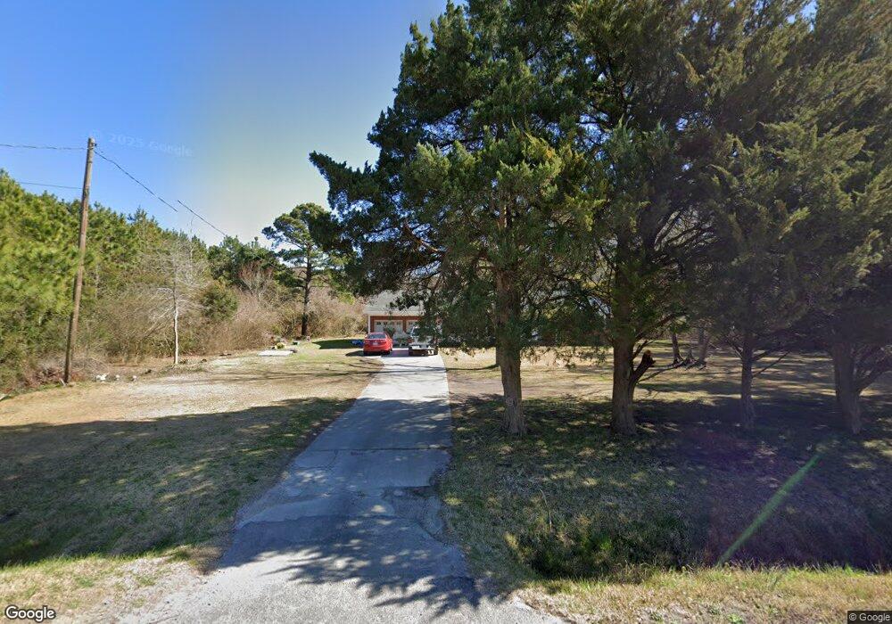
2016 Us Highway 70 E Beaufort, NC 28516
Estimated Value: $348,811 - $396,000
3
Beds
2
Baths
1,851
Sq Ft
$206/Sq Ft
Est. Value
About This Home
This home is located at 2016 Us Highway 70 E, Beaufort, NC 28516 and is currently estimated at $381,953, approximately $206 per square foot. 2016 Us Highway 70 E is a home located in Carteret County with nearby schools including Beaufort Elementary School, Beaufort Middle School, and East Carteret High School.
Ownership History
Date
Name
Owned For
Owner Type
Purchase Details
Closed on
Jul 21, 2021
Sold by
Hollar Gilda Hardy and Hollar Mark J
Bought by
Emerson Roy Alexander and Emerson Tammye Poole
Current Estimated Value
Home Financials for this Owner
Home Financials are based on the most recent Mortgage that was taken out on this home.
Original Mortgage
$149,000
Outstanding Balance
$135,194
Interest Rate
2.9%
Mortgage Type
New Conventional
Estimated Equity
$246,759
Purchase Details
Closed on
Feb 3, 2006
Sold by
Hardy Harry V
Bought by
Hollar Gilda Hardy
Create a Home Valuation Report for This Property
The Home Valuation Report is an in-depth analysis detailing your home's value as well as a comparison with similar homes in the area
Home Values in the Area
Average Home Value in this Area
Purchase History
| Date | Buyer | Sale Price | Title Company |
|---|---|---|---|
| Emerson Roy Alexander | $295,000 | None Available | |
| Hollar Gilda Hardy | -- | None Available |
Source: Public Records
Mortgage History
| Date | Status | Borrower | Loan Amount |
|---|---|---|---|
| Open | Emerson Roy Alexander | $149,000 |
Source: Public Records
Tax History Compared to Growth
Tax History
| Year | Tax Paid | Tax Assessment Tax Assessment Total Assessment is a certain percentage of the fair market value that is determined by local assessors to be the total taxable value of land and additions on the property. | Land | Improvement |
|---|---|---|---|---|
| 2025 | $1,216 | $319,453 | $69,372 | $250,081 |
| 2024 | $873 | $155,056 | $31,122 | $123,934 |
| 2023 | $947 | $155,056 | $31,122 | $123,934 |
| 2022 | $932 | $155,056 | $31,122 | $123,934 |
| 2021 | $0 | $155,056 | $31,122 | $123,934 |
| 2020 | $979 | $155,056 | $31,122 | $123,934 |
| 2019 | $1,068 | $182,139 | $47,720 | $134,419 |
| 2017 | $1,051 | $177,784 | $47,720 | $130,064 |
| 2016 | $1,024 | $177,784 | $47,720 | $130,064 |
| 2015 | $1,007 | $177,784 | $47,720 | $130,064 |
| 2014 | $980 | $173,895 | $55,870 | $118,025 |
Source: Public Records
Map
Nearby Homes
- 1202 Courtyard E
- 231 Cline Way Unit 105, 1809 Live
- 226 Cline Way Unit 132, 1809 Live
- 235 Cline Way Unit 107, 1809 Live
- 233 Cline Way Unit 106, 1809 Live
- 228 Cline Way Unit 131, 1809 Live
- 237 Cline Way Unit 108, 1809 Live
- 232 Cline Way Unit 129, 1809 Live
- 230 Cline Way Unit 130, 1809 Live
- 229 Cline Way Unit 104, 1809 Live
- 301 Courtyard E Unit 301
- 105 Palmetto Place Cir
- The Harbour Plan at Towns at Live Oak
- The Lookout Plan at Towns at Live Oak
- 301 Pirates Landing Dr
- 413 Meeting St
- 103 Pirates Landing Dr
- 427 Meeting St
- 1103 Pirates Landing Dr
- 702 Pirates Landing Dr