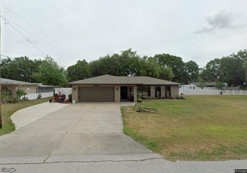
20166 Hamilton Ave Port Charlotte, FL 33952
Estimated Value: $242,732 - $330,000
3
Beds
2
Baths
1,611
Sq Ft
$174/Sq Ft
Est. Value
About This Home
This home is located at 20166 Hamilton Ave, Port Charlotte, FL 33952 and is currently estimated at $280,433, approximately $174 per square foot. 20166 Hamilton Ave is a home located in Charlotte County with nearby schools including Neil Armstrong Elementary School, Murdock Middle School, and Port Charlotte High School.
Ownership History
Date
Name
Owned For
Owner Type
Purchase Details
Closed on
Apr 26, 2017
Sold by
Burns Mary Jane
Bought by
Boggess Steven M and Boggess Heather D
Current Estimated Value
Purchase Details
Closed on
Mar 3, 2017
Sold by
Lytle Burns Mary Jane Lyile and Lytle Robert J
Bought by
Burns Mary Jane and Promey Peggy S
Purchase Details
Closed on
Mar 1, 2017
Bought by
Boggess Steven M and Boggess Heather D
Purchase Details
Closed on
Feb 9, 2017
Sold by
Hofmann Julie R
Bought by
Burns Mary Lane
Purchase Details
Closed on
Feb 7, 2017
Sold by
Smith Belinda Jill
Bought by
Burns Mary Jane
Purchase Details
Closed on
Feb 1, 2017
Bought by
Boggess Steven M and Boggess Heather D
Purchase Details
Closed on
Nov 28, 2004
Sold by
Lytle M Maxine and J Robert & M Maxine Lytle Trus
Bought by
Burns Thomas M and Burns Mary Jane
Purchase Details
Closed on
Sep 4, 1997
Sold by
Lytle J Robert and Lytle Maxine
Bought by
Lytle J Robert
Create a Home Valuation Report for This Property
The Home Valuation Report is an in-depth analysis detailing your home's value as well as a comparison with similar homes in the area
Home Values in the Area
Average Home Value in this Area
Purchase History
| Date | Buyer | Sale Price | Title Company |
|---|---|---|---|
| Boggess Steven M | -- | Attorney | |
| Burns Mary Jane | -- | None Available | |
| Boggess Steven M | $100 | -- | |
| Burns Mary Lane | -- | Attorney | |
| Burns Mary Jane | -- | Attorney | |
| Burns Mary Jane | -- | None Available | |
| Boggess Steven M | $100 | -- | |
| Burns Thomas M | -- | -- | |
| Lytle J Robert | -- | -- |
Source: Public Records
Tax History Compared to Growth
Tax History
| Year | Tax Paid | Tax Assessment Tax Assessment Total Assessment is a certain percentage of the fair market value that is determined by local assessors to be the total taxable value of land and additions on the property. | Land | Improvement |
|---|---|---|---|---|
| 2023 | $1,722 | $102,839 | $0 | $0 |
| 2022 | $1,640 | $99,844 | $0 | $0 |
| 2021 | $1,621 | $96,936 | $0 | $0 |
| 2020 | $934 | $95,598 | $0 | $0 |
| 2019 | $1,490 | $93,449 | $0 | $0 |
| 2018 | $1,358 | $91,707 | $0 | $0 |
| 2017 | $2,429 | $116,608 | $4,216 | $112,392 |
| 2016 | $1,022 | $64,079 | $0 | $0 |
| 2015 | $515 | $63,634 | $0 | $0 |
| 2014 | $516 | $63,129 | $0 | $0 |
Source: Public Records
Map
Nearby Homes
- 20191 Rutherford Ave
- 1483 Salyers St
- 20159 Gladstone Ave
- 20214 Hamilton Ave
- 20191 Gladstone Ave
- 20169 Astoria Ave
- 20246 Hamilton Ave
- 20246 Rutherford Ave
- 20221 Astoria Ave
- 2031 Basin St
- 20170 Tralee Dr
- 20237 Astoria Ave
- 20280 Kinderkemac Ave
- 20296 Rutherford Ave
- 20297 Kinderkemac Ave
- 20190 Rutherford Ave
- 20260 Tralee Dr
- 2081 Basin St
- 1357 Nimrod St
- 20246 Blaine Ave
- 20158 Hamilton Ave
- 1434 Salyers St
- 20167 Hamilton Ave
- 20182 Hamilton Ave
- 20175 Rutherford Ave
- 20183 Rutherford Ave
- 20183 Hamilton Ave
- 1451 Salyers St
- 20166 Gladstone Ave
- 1435 Salyers St
- 20174 Gladstone Ave
- 20159 Rutherford Ave
- 20166 Rutherford Ave
- 20198 Hamilton Ave
- 20174 Rutherford Ave
- 20182 Gladstone Ave
- 1427 Salyers St
- 20199 Rutherford Ave
- 20182 Rutherford Ave
- 20199 Hamilton Ave