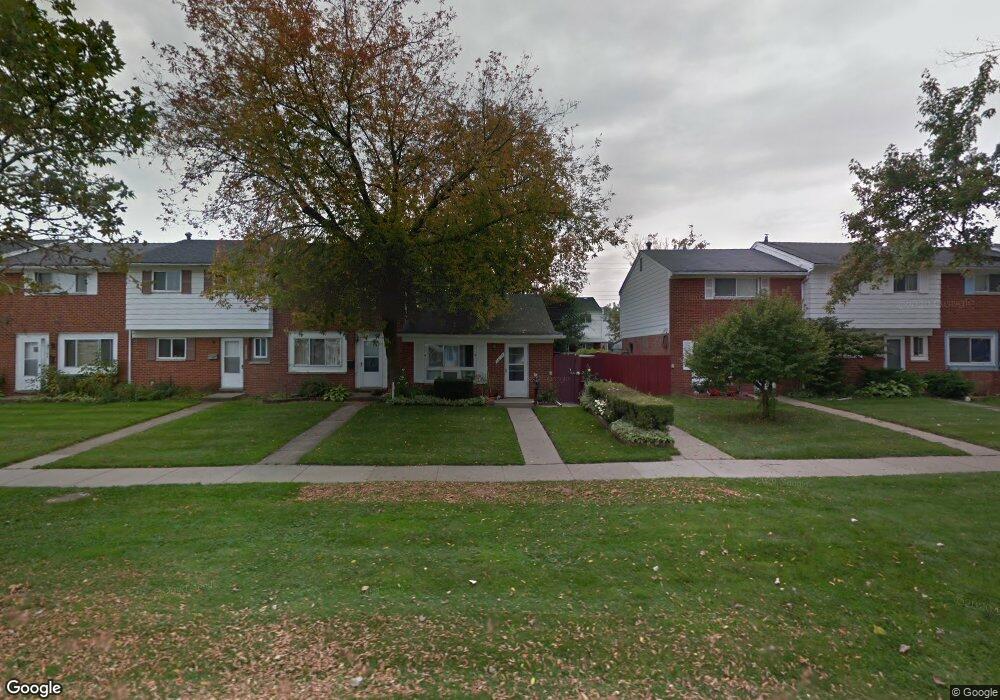
20168 15 Mile Rd Clinton Township, MI 48035
Estimated Value: $94,000 - $118,271
2
Beds
1
Bath
912
Sq Ft
$116/Sq Ft
Est. Value
About This Home
This home is located at 20168 15 Mile Rd, Clinton Township, MI 48035 and is currently estimated at $105,568, approximately $115 per square foot. 20168 15 Mile Rd is a home located in Macomb County with nearby schools including Clintondale High School and St. Thecla Catholic School.
Ownership History
Date
Name
Owned For
Owner Type
Purchase Details
Closed on
Jul 26, 2023
Sold by
Lee Xing Lian
Bought by
Lee Xing Lian and Lee Michael
Current Estimated Value
Purchase Details
Closed on
Sep 25, 2009
Sold by
Young Joanne
Bought by
Federal Home Loan Mortgage Corp
Purchase Details
Closed on
May 14, 2003
Sold by
Thomas Alun
Bought by
Young Joanne E
Create a Home Valuation Report for This Property
The Home Valuation Report is an in-depth analysis detailing your home's value as well as a comparison with similar homes in the area
Home Values in the Area
Average Home Value in this Area
Purchase History
| Date | Buyer | Sale Price | Title Company |
|---|---|---|---|
| Lee Xing Lian | -- | None Listed On Document | |
| Federal Home Loan Mortgage Corp | $36,673 | None Available | |
| Young Joanne E | $79,900 | Lawyers Title Insurance Corp |
Source: Public Records
Tax History Compared to Growth
Tax History
| Year | Tax Paid | Tax Assessment Tax Assessment Total Assessment is a certain percentage of the fair market value that is determined by local assessors to be the total taxable value of land and additions on the property. | Land | Improvement |
|---|---|---|---|---|
| 2025 | $837 | $43,200 | $0 | $0 |
| 2024 | $502 | $41,400 | $0 | $0 |
| 2023 | $477 | $28,400 | $0 | $0 |
| 2022 | $752 | $26,700 | $0 | $0 |
| 2021 | $732 | $22,000 | $0 | $0 |
| 2020 | $437 | $20,100 | $0 | $0 |
| 2019 | $686 | $18,100 | $0 | $0 |
| 2018 | $670 | $16,800 | $0 | $0 |
| 2017 | $665 | $15,500 | $3,000 | $12,500 |
| 2016 | $661 | $15,500 | $0 | $0 |
| 2015 | -- | $13,700 | $0 | $0 |
| 2014 | -- | $14,100 | $0 | $0 |
| 2011 | -- | $20,400 | $0 | $20,400 |
Source: Public Records
Map
Nearby Homes
- 20176 15 Mile Rd
- 20174 Abrahm St
- 20309 Abrahm St
- 20011 Abrahm St
- 0000 Garfield
- 35403 Seville St
- 20410 Woodward St
- 20550 Vermander Ave
- 34606 Beaconsfield St
- 35501 Griswald St
- 19793 Electra St
- 34559 Chope Place
- 35685 Griswald St
- 35375 Groesbeck Hwy
- 34161 Beaconsfield St
- 20975 Catalano St
- 34029 Little MacK Ave
- 20219 Finley St
- 35903 Little MacK Ave
- 21132 Woodward St
- 20164 15 Mile Rd
- 20160 15 Mile Rd
- 20180 15 Mile Rd
- 20156 15 Mile Rd
- 20182 15 Mile Rd
- 20152 15 Mile Rd
- 20131 Merle Ct
- 20184 15 Mile Rd
- 20135 Merle Ct
- 20148 15 Mile Rd
- 20139 Merle Ct
- 20141 Merle Ct
- 20188 15 Mile Rd
- 20144 15 Mile Rd
- 20144 15 Mile Rd Unit 197
- 20145 Merle Ct
- 20127 Merle Ct
- 20127 Merle Ct Unit 63
- 20192 15 Mile Rd Unit Bldg-Unit
- 20192 15 Mile Rd