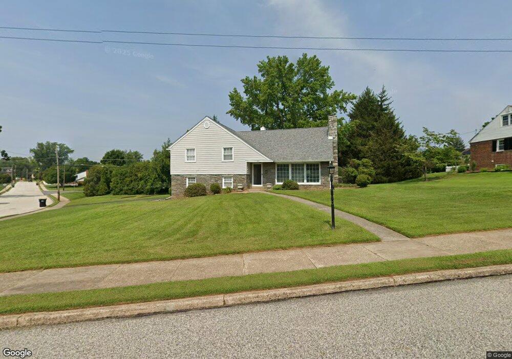
2017 Berkley Rd Norristown, PA 19403
West Norriton Township NeighborhoodEstimated Value: $480,000 - $599,000
3
Beds
3
Baths
2,598
Sq Ft
$204/Sq Ft
Est. Value
About This Home
This home is located at 2017 Berkley Rd, Norristown, PA 19403 and is currently estimated at $529,259, approximately $203 per square foot. 2017 Berkley Rd is a home located in Montgomery County with nearby schools including Charles Blockson Middle School, Paul V Fly Elementary School, and East Norriton Middle School.
Ownership History
Date
Name
Owned For
Owner Type
Purchase Details
Closed on
Nov 19, 2004
Sold by
Not Provided
Bought by
Not Provided
Current Estimated Value
Purchase Details
Closed on
Oct 12, 2004
Sold by
Not Provided
Bought by
Not Provided
Purchase Details
Closed on
Aug 29, 1997
Sold by
Wolff Thomas J and Wolff Barbara Riley
Bought by
Gravinese Philip M and Gravinese Diane E
Create a Home Valuation Report for This Property
The Home Valuation Report is an in-depth analysis detailing your home's value as well as a comparison with similar homes in the area
Home Values in the Area
Average Home Value in this Area
Purchase History
| Date | Buyer | Sale Price | Title Company |
|---|---|---|---|
| Not Provided | $75,000 | -- | |
| Not Provided | $75,000 | -- | |
| Gravinese Philip M | $174,900 | -- |
Source: Public Records
Mortgage History
| Date | Status | Borrower | Loan Amount |
|---|---|---|---|
| Closed | Not Provided | $0 |
Source: Public Records
Tax History Compared to Growth
Tax History
| Year | Tax Paid | Tax Assessment Tax Assessment Total Assessment is a certain percentage of the fair market value that is determined by local assessors to be the total taxable value of land and additions on the property. | Land | Improvement |
|---|---|---|---|---|
| 2025 | $7,578 | $155,120 | $47,850 | $107,270 |
| 2024 | $7,578 | $155,120 | $47,850 | $107,270 |
| 2023 | $7,492 | $155,120 | $47,850 | $107,270 |
| 2022 | $7,445 | $155,120 | $47,850 | $107,270 |
| 2021 | $7,399 | $155,120 | $47,850 | $107,270 |
| 2020 | $7,178 | $155,120 | $47,850 | $107,270 |
| 2019 | $7,018 | $155,120 | $47,850 | $107,270 |
| 2018 | $5,480 | $155,120 | $47,850 | $107,270 |
| 2017 | $6,626 | $155,120 | $47,850 | $107,270 |
| 2016 | $6,565 | $155,120 | $47,850 | $107,270 |
| 2015 | $6,083 | $155,120 | $47,850 | $107,270 |
| 2014 | $6,083 | $155,120 | $47,850 | $107,270 |
Source: Public Records
Map
Nearby Homes
- 1924 Juniata Rd
- 533 Brandon Rd
- 402 Brandon Rd
- 37 Burnside Ave
- 307 Brandon Rd
- 440 Rittenhouse Blvd
- 1905 Yorktown N
- 167 Woodstream Dr Unit CONDO 167
- 2044 Mill Rd
- 526 Bassett Ln
- 1914 Yorktown S
- 1749 W Marshall St
- 121 Woodstream Dr Unit CONDO 121
- 2017 Yorktown S
- 143 Riversedge Dr Unit CONDO 143
- 176 Riversedge Dr
- 2012 Yorktown S
- 709 Middleton Place
- 1633 Williams Way
- 214 Oxford Cir