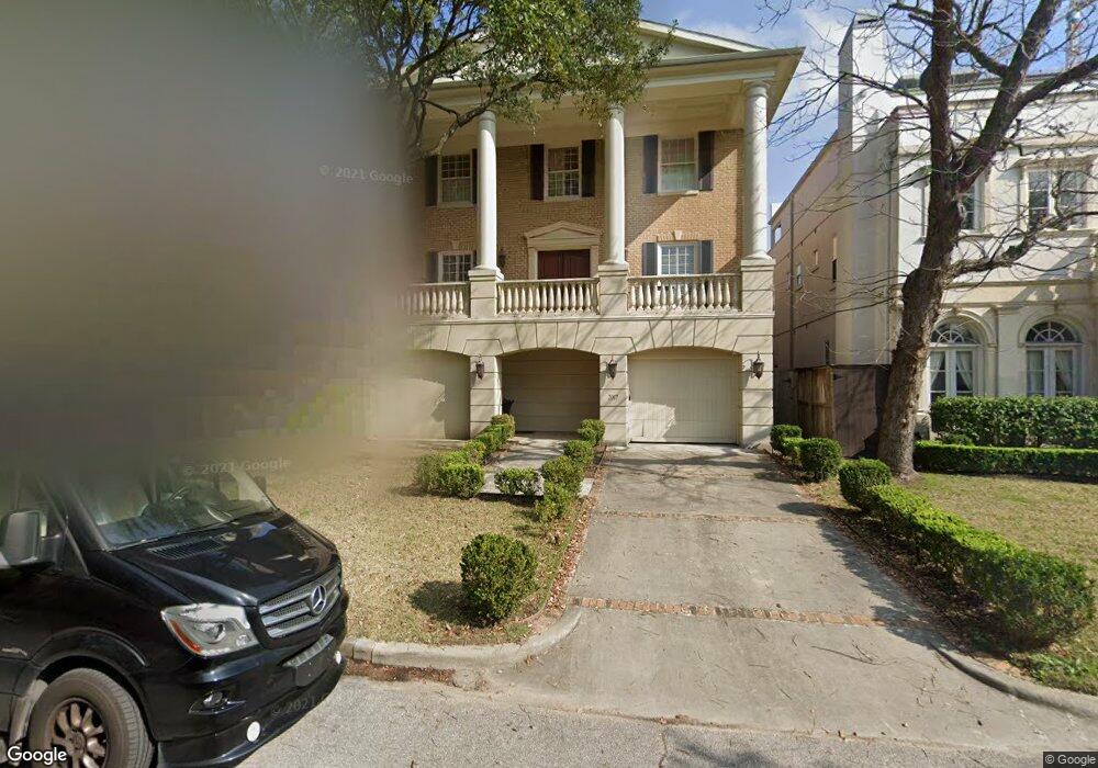
2017 Brentwood Dr Houston, TX 77019
Montrose NeighborhoodEstimated Value: $1,192,000 - $2,729,000
3
Beds
4
Baths
3,696
Sq Ft
$445/Sq Ft
Est. Value
About This Home
This home is located at 2017 Brentwood Dr, Houston, TX 77019 and is currently estimated at $1,646,305, approximately $445 per square foot. 2017 Brentwood Dr is a home located in Harris County with nearby schools including Baker Montessori, Lanier Middle School, and Lamar High School.
Ownership History
Date
Name
Owned For
Owner Type
Purchase Details
Closed on
Jun 21, 2002
Sold by
Mccauley Francis Ruple and Mccauley Patricia Mcginn
Bought by
Mccauley Christopher Edward
Current Estimated Value
Home Financials for this Owner
Home Financials are based on the most recent Mortgage that was taken out on this home.
Original Mortgage
$250,000
Interest Rate
6.82%
Mortgage Type
Seller Take Back
Create a Home Valuation Report for This Property
The Home Valuation Report is an in-depth analysis detailing your home's value as well as a comparison with similar homes in the area
Home Values in the Area
Average Home Value in this Area
Purchase History
| Date | Buyer | Sale Price | Title Company |
|---|---|---|---|
| Mccauley Christopher Edward | -- | -- |
Source: Public Records
Mortgage History
| Date | Status | Borrower | Loan Amount |
|---|---|---|---|
| Closed | Mccauley Christopher Edward | $250,000 |
Source: Public Records
Tax History Compared to Growth
Tax History
| Year | Tax Paid | Tax Assessment Tax Assessment Total Assessment is a certain percentage of the fair market value that is determined by local assessors to be the total taxable value of land and additions on the property. | Land | Improvement |
|---|---|---|---|---|
| 2025 | $18,473 | $1,027,851 | $450,000 | $577,851 |
| 2024 | $18,473 | $1,153,471 | $450,000 | $703,471 |
| 2023 | $18,473 | $1,235,692 | $450,000 | $785,692 |
| 2022 | $24,182 | $1,098,220 | $427,500 | $670,720 |
| 2021 | $24,801 | $1,064,100 | $427,500 | $636,600 |
| 2020 | $25,768 | $1,064,100 | $427,500 | $636,600 |
| 2019 | $26,926 | $1,064,100 | $427,500 | $636,600 |
| 2018 | $19,515 | $974,100 | $337,500 | $636,600 |
| 2017 | $25,848 | $974,100 | $337,500 | $636,600 |
| 2016 | $29,948 | $1,128,602 | $337,500 | $791,102 |
| 2015 | $20,174 | $1,045,465 | $315,000 | $730,465 |
| 2014 | $20,174 | $984,585 | $292,500 | $692,085 |
Source: Public Records
Map
Nearby Homes
- 1216 S Shepherd Dr
- 1201 Mcduffie St Unit 198
- 1025 S Shepherd Dr Unit 209
- 2116 Looscan Ln
- 2117 Chilton Rd
- 1005 S Shepherd Dr Unit 406
- 1005 S Shepherd Dr Unit 304
- 2131 Brentwood Dr
- 1601 S Shepherd Dr Unit 20
- 1601 S Shepherd Dr Unit 29
- 1601 S Shepherd Dr Unit 138
- 1509 Mcduffie St
- 2105 Del Monte Dr
- 2247 Chilton Rd
- 902 S Shepherd Dr
- 1606 Hazard St
- 2204 Inwood Dr
- 1510 Morse St
- 1937 W Clay St
- 1711 Huldy St Unit A
- 2013 Brentwood Dr
- 2021 Brentwood Dr
- 2009 Brentwood Dr
- 2025 Brentwood Dr
- 2007 Brentwood Dr
- 2031 Brentwood Dr
- 2033 Brentwood Dr
- 1201 Mcduffie St Unit 167
- 1201 Mcduffie St Unit 218
- 1201 Mcduffie St Unit 196
- 1201 Mcduffie St Unit 187
- 1201 Mcduffie St Unit 142
- 1201 Mcduffie St Unit 139
- 1201 Mcduffie St Unit 132
- 1201 Mcduffie St Unit 151
- 1201 Mcduffie St Unit 155
- 1201 Mcduffie St Unit 214
- 1201 Mcduffie St Unit 160
- 1201 Mcduffie St Unit 197
- 1201 Mcduffie St Unit 206