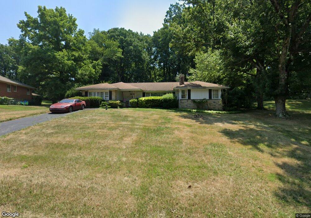
2017 Cedar Circle Dr Catonsville, MD 21228
Estimated Value: $464,000 - $542,000
--
Bed
2
Baths
2,092
Sq Ft
$238/Sq Ft
Est. Value
About This Home
This home is located at 2017 Cedar Circle Dr, Catonsville, MD 21228 and is currently estimated at $497,877, approximately $237 per square foot. 2017 Cedar Circle Dr is a home located in Baltimore County with nearby schools including Woodbridge Elementary School, Southwest Academy, and Woodlawn High School.
Ownership History
Date
Name
Owned For
Owner Type
Purchase Details
Closed on
Sep 8, 2005
Sold by
R & All Marvin B
Bought by
Noel Kathleen A
Current Estimated Value
Home Financials for this Owner
Home Financials are based on the most recent Mortgage that was taken out on this home.
Original Mortgage
$311,900
Outstanding Balance
$166,448
Interest Rate
5.81%
Mortgage Type
New Conventional
Estimated Equity
$331,429
Purchase Details
Closed on
Mar 18, 2003
Sold by
Tracey Walter K
Bought by
Tracey Lorraine E
Create a Home Valuation Report for This Property
The Home Valuation Report is an in-depth analysis detailing your home's value as well as a comparison with similar homes in the area
Home Values in the Area
Average Home Value in this Area
Purchase History
| Date | Buyer | Sale Price | Title Company |
|---|---|---|---|
| Noel Kathleen A | $389,900 | -- | |
| Tracey Lorraine E | $229,999 | -- |
Source: Public Records
Mortgage History
| Date | Status | Borrower | Loan Amount |
|---|---|---|---|
| Open | Noel Kathleen A | $311,900 | |
| Closed | Noel Kathleen A | $58,450 |
Source: Public Records
Tax History Compared to Growth
Tax History
| Year | Tax Paid | Tax Assessment Tax Assessment Total Assessment is a certain percentage of the fair market value that is determined by local assessors to be the total taxable value of land and additions on the property. | Land | Improvement |
|---|---|---|---|---|
| 2025 | $4,253 | $337,667 | -- | -- |
| 2024 | $4,253 | $313,900 | $85,600 | $228,300 |
| 2023 | $4,227 | $310,500 | $0 | $0 |
| 2022 | $4,133 | $307,100 | $0 | $0 |
| 2021 | $3,897 | $303,700 | $85,600 | $218,100 |
| 2020 | $3,897 | $288,367 | $0 | $0 |
| 2019 | $3,688 | $273,033 | $0 | $0 |
| 2018 | $3,608 | $257,700 | $78,600 | $179,100 |
| 2017 | $3,546 | $257,700 | $0 | $0 |
| 2016 | $3,980 | $257,700 | $0 | $0 |
| 2015 | $3,980 | $261,500 | $0 | $0 |
| 2014 | $3,980 | $261,500 | $0 | $0 |
Source: Public Records
Map
Nearby Homes
- 2100 Chantilla Rd
- 6263 Gilston Park Rd
- 2120 Cedar Circle Dr
- 2124 Chantilla Rd
- 6200 Gilston Park Rd
- 1111 Cummings Ave
- 1019 Cummings Ave
- 1013 Cummings Ave
- 2208 W Geipe Rd
- 627 Meyers Dr Unit PARCEL 108
- 627 Meyers Dr
- 14 Madison Mills Ct
- 6031 Burnt Oak Rd
- 1916 Old Frederick Rd
- 2421 Quilting Bee Rd
- 2002 Old Frederick Rd
- 17 Kimball Ridge Ct
- 353 N Beaumont Ave
- 3 Mcgrady Square
- 343 N Beaumont Ave
- 2015 Cedar Circle Dr
- 2019 Cedar Circle Dr
- 2016 Cedar Circle Dr
- 1200 Cedar Circle Ct
- 2021 Cedar Circle Dr
- 2013 Cedar Circle Dr
- 1201 Cedar Circle Ct
- 2018 Cedar Circle Dr
- 2014 Cedar Circle Dr
- 1213 Corolla Ct
- 1211 Corolla Ct
- 1209 Corolla Ct
- 1207 Corolla Ct
- 1205 Corolla Ct
- 1203 Corolla Ct
- 1201 Corolla Ct
- 2001 Fernglen Way
- 2023 Cedar Circle Dr
- 2011 Cedar Circle Dr
- 1212 Corolla Ct