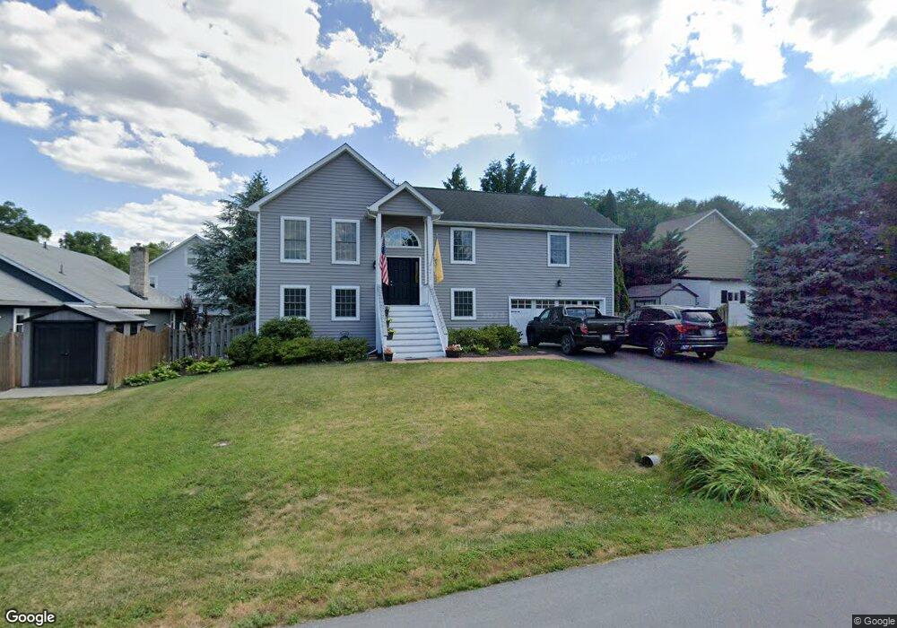
2017 Colin Dr Winchester, VA 22601
Estimated Value: $457,000 - $495,000
3
Beds
3
Baths
2,800
Sq Ft
$170/Sq Ft
Est. Value
About This Home
This home is located at 2017 Colin Dr, Winchester, VA 22601 and is currently estimated at $476,658, approximately $170 per square foot. 2017 Colin Dr is a home located in Frederick County with nearby schools including Orchard View Elementary School, James Wood Middle School, and James Wood High School.
Ownership History
Date
Name
Owned For
Owner Type
Purchase Details
Closed on
May 30, 2025
Sold by
Smith Allen D and Smith Cynthia A
Bought by
Nelson Haley S
Current Estimated Value
Home Financials for this Owner
Home Financials are based on the most recent Mortgage that was taken out on this home.
Original Mortgage
$175,000
Outstanding Balance
$174,552
Interest Rate
6.83%
Mortgage Type
New Conventional
Estimated Equity
$302,106
Purchase Details
Closed on
Jun 30, 2006
Sold by
Ashley Charles B
Bought by
Smith Allen D
Home Financials for this Owner
Home Financials are based on the most recent Mortgage that was taken out on this home.
Original Mortgage
$306,000
Interest Rate
6.58%
Mortgage Type
New Conventional
Purchase Details
Closed on
Aug 15, 2003
Sold by
Boyd Dennis R
Bought by
Ashby Charles
Home Financials for this Owner
Home Financials are based on the most recent Mortgage that was taken out on this home.
Original Mortgage
$167,200
Interest Rate
5.46%
Mortgage Type
New Conventional
Create a Home Valuation Report for This Property
The Home Valuation Report is an in-depth analysis detailing your home's value as well as a comparison with similar homes in the area
Home Values in the Area
Average Home Value in this Area
Purchase History
| Date | Buyer | Sale Price | Title Company |
|---|---|---|---|
| Nelson Haley S | $455,000 | Commonwealth Land Title | |
| Smith Allen D | $340,000 | -- | |
| Ashby Charles | $209,000 | -- |
Source: Public Records
Mortgage History
| Date | Status | Borrower | Loan Amount |
|---|---|---|---|
| Open | Nelson Haley S | $175,000 | |
| Previous Owner | Smith Allen D | $306,000 | |
| Previous Owner | Ashby Charles | $167,200 |
Source: Public Records
Tax History
| Year | Tax Paid | Tax Assessment Tax Assessment Total Assessment is a certain percentage of the fair market value that is determined by local assessors to be the total taxable value of land and additions on the property. | Land | Improvement |
|---|---|---|---|---|
| 2025 | $1,986 | $413,760 | $88,000 | $325,760 |
| 2024 | $875 | $343,000 | $72,000 | $271,000 |
| 2023 | $1,749 | $343,000 | $72,000 | $271,000 |
| 2022 | $1,693 | $277,600 | $67,000 | $210,600 |
| 2021 | $1,693 | $277,600 | $67,000 | $210,600 |
| 2020 | $1,604 | $263,000 | $67,000 | $196,000 |
| 2019 | $1,604 | $263,000 | $67,000 | $196,000 |
| 2018 | $1,465 | $240,200 | $67,000 | $173,200 |
| 2017 | $1,441 | $240,200 | $67,000 | $173,200 |
| 2016 | $1,296 | $216,000 | $54,500 | $161,500 |
| 2015 | $1,210 | $216,000 | $54,500 | $161,500 |
| 2014 | $577 | $195,700 | $54,500 | $141,200 |
Source: Public Records
Map
Nearby Homes
- 1020 Breckinridge Ln
- 1721 Amherst St
- 1822 Blythe Way
- 1819 Reese Ct
- 1814 Blythe Way
- 1625 Amherst St
- 0 0 Northwestern Pike
- 866 Merrimans Ln
- 832 Winder Ct
- 1332 Ramseur Ln
- 1415 Ramseur Ln
- 1419 Ramseur Ln
- 162 Omps Dr
- 769 Seldon Dr
- 217 Myrtle Ave
- 1540 Meadow Branch Ave
- 209 Wood Ave
- 135 Lakota St
- TBD Hydrangea Way
- 119 Hydrangea Way
Your Personal Tour Guide
Ask me questions while you tour the home.