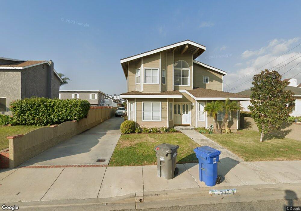
2017 Curtis Ave Unit A Redondo Beach, CA 90278
North Redondo Beach NeighborhoodEstimated Value: $1,492,000 - $1,728,000
3
Beds
3
Baths
2,350
Sq Ft
$676/Sq Ft
Est. Value
About This Home
This home is located at 2017 Curtis Ave Unit A, Redondo Beach, CA 90278 and is currently estimated at $1,589,009, approximately $676 per square foot. 2017 Curtis Ave Unit A is a home located in Los Angeles County with nearby schools including Lincoln Elementary School, Adams Middle School, and Redondo Union High School.
Ownership History
Date
Name
Owned For
Owner Type
Purchase Details
Closed on
Apr 25, 2020
Sold by
Chu Collin S and Chu Lily F
Bought by
Chu Collin S and Chu Lily F
Current Estimated Value
Purchase Details
Closed on
Oct 4, 2004
Sold by
Moshiri Reza and Moshiri Rozita Jafari
Bought by
Chu Collin S and Chu Lily F
Home Financials for this Owner
Home Financials are based on the most recent Mortgage that was taken out on this home.
Original Mortgage
$532,000
Interest Rate
5.12%
Mortgage Type
Purchase Money Mortgage
Create a Home Valuation Report for This Property
The Home Valuation Report is an in-depth analysis detailing your home's value as well as a comparison with similar homes in the area
Home Values in the Area
Average Home Value in this Area
Purchase History
| Date | Buyer | Sale Price | Title Company |
|---|---|---|---|
| Chu Collin S | -- | None Available | |
| Chu Collin S | $665,000 | Lawyers Title Company |
Source: Public Records
Mortgage History
| Date | Status | Borrower | Loan Amount |
|---|---|---|---|
| Previous Owner | Chu Collin S | $532,000 |
Source: Public Records
Tax History
| Year | Tax Paid | Tax Assessment Tax Assessment Total Assessment is a certain percentage of the fair market value that is determined by local assessors to be the total taxable value of land and additions on the property. | Land | Improvement |
|---|---|---|---|---|
| 2025 | $10,972 | $926,935 | $671,021 | $255,914 |
| 2024 | $10,972 | $908,761 | $657,864 | $250,897 |
| 2023 | $10,775 | $890,943 | $644,965 | $245,978 |
| 2022 | $10,590 | $873,474 | $632,319 | $241,155 |
| 2021 | $10,303 | $856,348 | $619,921 | $236,427 |
| 2019 | $10,063 | $830,950 | $601,535 | $229,415 |
| 2018 | $9,771 | $814,658 | $589,741 | $224,917 |
| 2016 | $9,451 | $783,026 | $566,842 | $216,184 |
| 2015 | $9,281 | $771,265 | $558,328 | $212,937 |
| 2014 | $9,149 | $756,158 | $547,392 | $208,766 |
Source: Public Records
Map
Nearby Homes
- 2021 Curtis Ave
- 1925 Gates Ave
- 2005 Robinson St Unit B
- 2217 Voorhees Ave
- 1907 Voorhees Ave
- 2005 Mathews Ave Unit C
- 2005 Mathews Ave Unit A
- 2214 Ruhland Ave Unit A
- 213 Aviation Place
- 1769 Gates Ave
- 2001 Artesia Blvd Unit 208
- 2202 Mathews Ave
- 1924 Mathews Ave Unit C
- 2009 Blossom Ln
- 2116 Ernest Ave Unit B
- 2007 Blossom Ln
- 2304 Voorhees Ave
- 1756 Voorhees Ave
- 1756 Ruhland Ave
- 1736 Voorhees Ave
- 2017 Curtis Ave
- 2017 Curtis Ave Unit B
- 2015 Curtis Ave
- 2019 Curtis Ave Unit B
- 2019 Curtis Ave
- 2013 Curtis Ave Unit A
- 2013 Curtis Ave Unit B
- 2011 Curtis Ave
- 2023 Curtis Ave
- 2016 Gates Ave Unit A
- 2016 Gates Ave
- 2014 Gates Ave Unit B
- 2507 Blossom Ln
- 2012 Gates Ave Unit B
- 2012 Gates Ave Unit A
- 2018 Gates Ave Unit B
- 2018 Gates Ave
- 2016 Curtis Ave Unit B
- 2016 Curtis Ave Unit A
- 2012 Curtis Ave Unit B
Your Personal Tour Guide
Ask me questions while you tour the home.