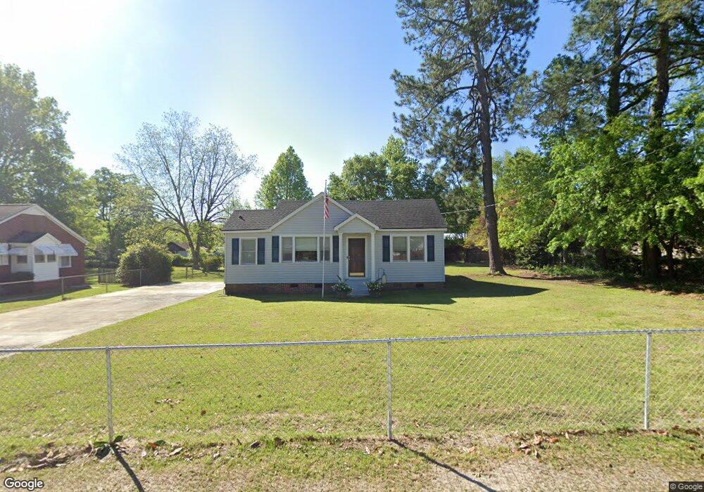
2017 Dew Ave West Columbia, SC 29169
Estimated Value: $157,000 - $189,894
2
Beds
2
Baths
1,000
Sq Ft
$173/Sq Ft
Est. Value
About This Home
This home is located at 2017 Dew Ave, West Columbia, SC 29169 and is currently estimated at $172,724, approximately $172 per square foot. 2017 Dew Ave is a home located in Lexington County with nearby schools including Riverbank Elementary, Northside Middle, and Brookland-Cayce High School.
Ownership History
Date
Name
Owned For
Owner Type
Purchase Details
Closed on
Sep 8, 2022
Sold by
Secretary Of Veterans Affairs
Bought by
Scarsella David F
Current Estimated Value
Home Financials for this Owner
Home Financials are based on the most recent Mortgage that was taken out on this home.
Original Mortgage
$116,000
Outstanding Balance
$111,179
Interest Rate
5.66%
Mortgage Type
New Conventional
Estimated Equity
$61,545
Purchase Details
Closed on
Sep 15, 2016
Sold by
Smoak Jeffry R and Smoak Jeffrey R
Bought by
Fuce Ii Joseph
Home Financials for this Owner
Home Financials are based on the most recent Mortgage that was taken out on this home.
Original Mortgage
$93,467
Interest Rate
3.43%
Mortgage Type
VA
Create a Home Valuation Report for This Property
The Home Valuation Report is an in-depth analysis detailing your home's value as well as a comparison with similar homes in the area
Home Values in the Area
Average Home Value in this Area
Purchase History
| Date | Buyer | Sale Price | Title Company |
|---|---|---|---|
| Scarsella David F | $145,000 | -- | |
| Fuce Ii Joseph | $91,500 | None Available |
Source: Public Records
Mortgage History
| Date | Status | Borrower | Loan Amount |
|---|---|---|---|
| Open | Scarsella David F | $116,000 | |
| Previous Owner | Fuce Ii Joseph | $93,467 |
Source: Public Records
Tax History Compared to Growth
Tax History
| Year | Tax Paid | Tax Assessment Tax Assessment Total Assessment is a certain percentage of the fair market value that is determined by local assessors to be the total taxable value of land and additions on the property. | Land | Improvement |
|---|---|---|---|---|
| 2024 | $1,111 | $5,800 | $1,200 | $4,600 |
| 2023 | $1,109 | $3,674 | $1,200 | $2,474 |
| 2022 | $2,060 | $3,674 | $1,200 | $2,474 |
| 2020 | $1,953 | $5,510 | $1,800 | $3,710 |
| 2019 | $692 | $3,660 | $1,200 | $2,460 |
| 2018 | $699 | $3,660 | $1,200 | $2,460 |
| 2017 | $671 | $3,660 | $1,200 | $2,460 |
| 2016 | $635 | $5,062 | $1,800 | $3,262 |
| 2014 | $1,397 | $4,556 | $1,035 | $3,521 |
| 2013 | -- | $4,560 | $1,040 | $3,520 |
Source: Public Records
Map
Nearby Homes
- 415 Graham St
- 2004 Dew Ave
- 207 Woodhaven Dr
- 215 Sandel Ln
- 0 Platt Springs Rd Unit 606355
- 165 Cavendish Dr
- 623 Hook Ave
- 529 Finnegan Ln
- 500 Finnegan Ln
- 617 Holland Cir
- 1615 Holland St
- 106 Earl Ct
- 116 Silver Run Place
- 339 Gum Swamp Trail
- 135 Silver Run Place
- 349 Gum Swamp Trail
- 212 Alexandria St
- 1513 Gambrell St
- 1734 C Ave
- 913 Harper Rose Ct