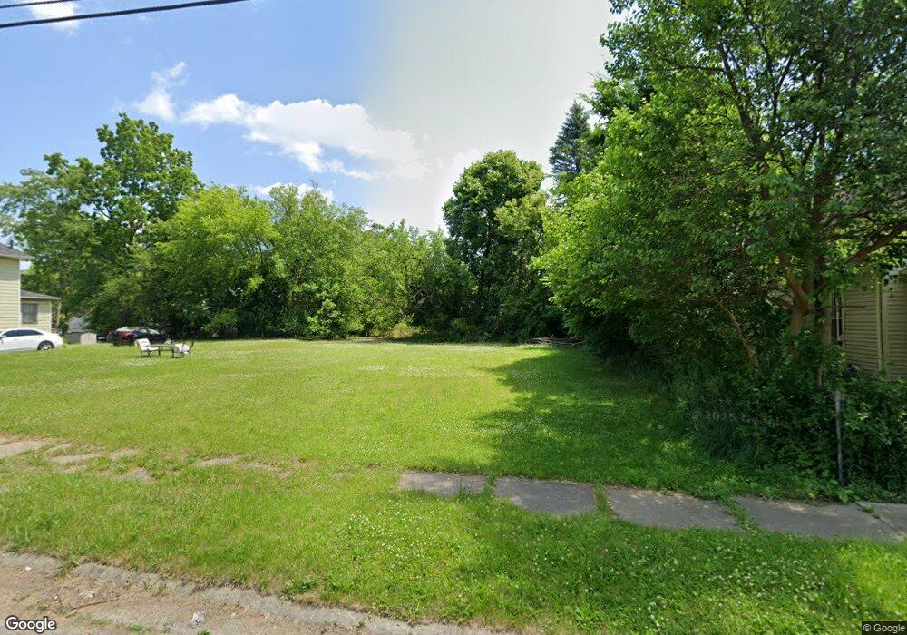
2017 Ferris Ave Flint, MI 48503
South Parks NeighborhoodEstimated Value: $22,703 - $47,000
About This Home
This home is located at 2017 Ferris Ave, Flint, MI 48503 and is currently estimated at $37,234, approximately $43 per square foot. 2017 Ferris Ave is a home located in Genesee County with nearby schools including Freeman Elementary School, Flint Southwestern Classical Academy, and International Academy of Flint (K-12).
Ownership History
We collect this data history from publicly available records. To have your information removed, we recommend requesting removal directly through your county’s website.
Purchase Details
Purchase Details
Home Financials for this Owner
Home Financials are based on the most recent Mortgage that was taken out on this home.Purchase Details
Home Values in the Area
Average Home Value in this Area
Purchase History
We collect this data history from publicly available records. To have your information removed, we recommend requesting removal directly through your county’s website.
| Date | Buyer | Sale Price | Title Company |
|---|---|---|---|
| -- | None Available | ||
| -- | Titlequest Agency | ||
| $18,000 | First American Title Co |
Mortgage History
We collect this data history from publicly available records. To have your information removed, we recommend requesting removal directly through your county’s website.
| Date | Status | Borrower | Loan Amount |
|---|---|---|---|
| Previous Owner | $36,000 | ||
| Previous Owner | $7,500 | ||
| Previous Owner | $20,000 |
Tax History
We collect this data history from publicly available records. To have your information removed, we recommend requesting removal directly through your county’s website.
| Year | Tax Paid | Tax Assessment Tax Assessment Total Assessment is a certain percentage of the fair market value that is determined by local assessors to be the total taxable value of land and additions on the property. | Land | Improvement |
|---|---|---|---|---|
| 2025 | -- | $0 | $0 | $0 |
| 2024 | -- | $0 | $0 | $0 |
| 2023 | -- | $0 | $0 | $0 |
| 2022 | $0 | $0 | $0 | $0 |
| 2021 | $0 | $0 | $0 | $0 |
| 2020 | $0 | $0 | $0 | $0 |
| 2019 | $0 | $0 | $0 | $0 |
| 2018 | $0 | $0 | $0 | $0 |
| 2017 | $0 | $0 | $0 | $0 |
| 2016 | $0 | $0 | $0 | $0 |
| 2015 | -- | $0 | $0 | $0 |
| 2014 | -- | $0 | $0 | $0 |
| 2012 | -- | $0 | $0 | $0 |
Map
- 2050 Ferris Ave
- 2051 Dwight Ave
- 2010 Crocker Ave
- 2050 Aitken Ave
- 1720 Park St
- 533 E 12th St Unit 535
- 2117 S Saginaw St
- 1701 Park St
- 2221 Howard Ave
- 2109 Church St
- 1516 Kent St
- 133 E Oakley St
- 1610 Kent St
- 810 E 8th St
- 822 E 8th St
- 2110 S Grand Traverse St
- 1847 Barks St
- 841 E 8th St
- 632 Monroe St
- 517 Morley Ave
- 2023 Ferris Ave
- 2027 Ferris Ave
- 2031 Ferris Ave
- 2022 Dwight Ave
- 2026 Dwight Ave
- 2026 Ferris Ave
- 2018 Ferris Ave
- 2009 Ferris Ave
- 2033 Ferris Ave
- 2030 Dwight Ave
- 2030 Ferris Ave
- 2034 Dwight Ave
- 2034 Ferris Ave
- 2010 Ferris Ave
- 2008 Dwight Ave
- 2038 Dwight Ave
- 2038 Ferris Ave
- 608 Pingree Ave
- 2041 Ferris Ave
- 2006 Dwight Ave
Ask me questions while you tour the home.