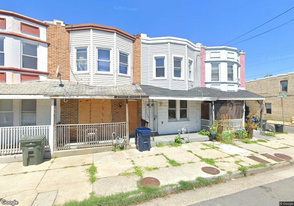
2017 Grant Ave Atlantic City, NJ 08401
Monroe Park NeighborhoodEstimated Value: $145,292
--
Bed
--
Bath
1,050
Sq Ft
$138/Sq Ft
Est. Value
About This Home
This home is located at 2017 Grant Ave, Atlantic City, NJ 08401 and is currently estimated at $145,292, approximately $138 per square foot. 2017 Grant Ave is a home located in Atlantic County with nearby schools including Dr. Martin Luther King Jr. School Complex, Atlantic City High School, and Our Lady Star of the Sea Regional School.
Ownership History
Date
Name
Owned For
Owner Type
Purchase Details
Closed on
Aug 2, 2005
Sold by
Rogers Clyde N and Rogers Hattie
Bought by
James Keyveat A
Current Estimated Value
Home Financials for this Owner
Home Financials are based on the most recent Mortgage that was taken out on this home.
Original Mortgage
$81,600
Outstanding Balance
$52,045
Interest Rate
9.2%
Mortgage Type
Fannie Mae Freddie Mac
Estimated Equity
$93,247
Create a Home Valuation Report for This Property
The Home Valuation Report is an in-depth analysis detailing your home's value as well as a comparison with similar homes in the area
Home Values in the Area
Average Home Value in this Area
Purchase History
| Date | Buyer | Sale Price | Title Company |
|---|---|---|---|
| James Keyveat A | $96,000 | Chicago Title Insurance Co |
Source: Public Records
Mortgage History
| Date | Status | Borrower | Loan Amount |
|---|---|---|---|
| Open | James Keyveat A | $81,600 |
Source: Public Records
Tax History Compared to Growth
Tax History
| Year | Tax Paid | Tax Assessment Tax Assessment Total Assessment is a certain percentage of the fair market value that is determined by local assessors to be the total taxable value of land and additions on the property. | Land | Improvement |
|---|---|---|---|---|
| 2025 | -- | $30,500 | $17,700 | $12,800 |
| 2024 | -- | $30,500 | $17,700 | $12,800 |
| 2023 | -- | $30,500 | $17,700 | $12,800 |
| 2022 | $0 | $30,500 | $17,700 | $12,800 |
| 2021 | $5,609 | $30,500 | $17,700 | $12,800 |
| 2020 | $5,141 | $30,500 | $17,700 | $12,800 |
| 2019 | $5,609 | $140,800 | $102,400 | $38,400 |
| 2018 | $4,974 | $140,800 | $102,400 | $38,400 |
| 2017 | $4,817 | $140,800 | $102,400 | $38,400 |
| 2016 | $5,435 | $140,800 | $102,400 | $38,400 |
| 2015 | $4,818 | $140,800 | $102,400 | $38,400 |
| 2014 | $4,714 | $140,800 | $102,400 | $38,400 |
Source: Public Records
Map
Nearby Homes
- 2006 Mckinley Ave
- 907 N Michigan Ave
- 2007 Grant Ave
- 2009 Grant Ave
- 1932 Mckinley Ave
- 2015 Grant Ave
- 2022 Grant Ave
- 822 N Arkansas Ave
- 715 N Michigan Ave
- 1044 N Ohio Ave
- 803 Penrose Rd
- 1916 Magellan Ave
- 801 Penrose Ave
- 706 N Ohio Ave
- 1818 Ontario Ave
- 608 N Michigan Ave
- 1134 Monroe Ave
- 1801 Marmora Ave
- 1142 N Michigan Ave
- 608 N Ohio Ave
- 2013 Grant Ave
- 2021 Grant Ave
- 902 Keener Ave
- 901 Emerson Place
- 901 Emerson Ave
- 2023 Grant Ave
- 904 Keener Ave
- 903 Emerson Place
- 905 Emerson Place
- 908 Keener Ave
- 907 Emerson Place
- 2011 Grant Ave
- 910 Keener Ave
- 2020 Grant Ave
- 903 Keener Ave
- 905 Keener Ave
- 2024 Grant Ave
- 2012 Grant Ave
- 2005 Grant Ave
- 912 Keener Ave