2017 Harbour Watch Cir Tarpon Springs, FL 34689
Estimated Value: $1,148,017 - $1,540,000
--
Bed
1
Bath
2,869
Sq Ft
$451/Sq Ft
Est. Value
About This Home
This home is located at 2017 Harbour Watch Cir, Tarpon Springs, FL 34689 and is currently estimated at $1,292,504, approximately $450 per square foot. 2017 Harbour Watch Cir is a home with nearby schools including Sunset Hills Elementary School, Tarpon Springs High School, and Tarpon Springs Middle School.
Ownership History
Date
Name
Owned For
Owner Type
Purchase Details
Closed on
Sep 13, 2001
Sold by
Nesbitt Guy and Nesbitt Lori A
Bought by
Moulton Craig and Moulton Nora
Current Estimated Value
Purchase Details
Closed on
Apr 16, 1999
Sold by
Yunker Robert
Bought by
Nesbitt Guy and Nesbitt Lori A
Home Financials for this Owner
Home Financials are based on the most recent Mortgage that was taken out on this home.
Original Mortgage
$395,000
Interest Rate
7.08%
Mortgage Type
New Conventional
Purchase Details
Closed on
Sep 19, 1996
Sold by
Design Guild Homes Inc
Bought by
Yunker Robert
Create a Home Valuation Report for This Property
The Home Valuation Report is an in-depth analysis detailing your home's value as well as a comparison with similar homes in the area
Home Values in the Area
Average Home Value in this Area
Purchase History
| Date | Buyer | Sale Price | Title Company |
|---|---|---|---|
| Moulton Craig | $750,000 | -- | |
| Nesbitt Guy | $595,000 | -- | |
| Yunker Robert | $127,000 | -- |
Source: Public Records
Mortgage History
| Date | Status | Borrower | Loan Amount |
|---|---|---|---|
| Previous Owner | Yunker Robert | $395,000 |
Source: Public Records
Tax History Compared to Growth
Tax History
| Year | Tax Paid | Tax Assessment Tax Assessment Total Assessment is a certain percentage of the fair market value that is determined by local assessors to be the total taxable value of land and additions on the property. | Land | Improvement |
|---|---|---|---|---|
| 2024 | $11,696 | $685,439 | -- | -- |
| 2023 | $11,696 | $665,475 | $0 | $0 |
| 2022 | $11,402 | $646,092 | $0 | $0 |
| 2021 | $11,552 | $627,274 | $0 | $0 |
| 2020 | $11,534 | $618,613 | $0 | $0 |
| 2019 | $11,354 | $604,705 | $0 | $0 |
| 2018 | $11,243 | $593,430 | $0 | $0 |
| 2017 | $11,161 | $581,224 | $0 | $0 |
| 2016 | $11,080 | $569,269 | $0 | $0 |
| 2015 | $11,256 | $565,312 | $0 | $0 |
| 2014 | $11,207 | $560,825 | $0 | $0 |
Source: Public Records
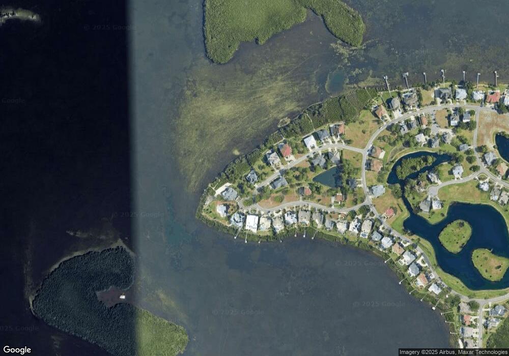
Map
Nearby Homes
- 2081 N Pointe Alexis Dr
- 0 Ketch Ct Unit T3352697
- 0 N Pointe Alexis Dr Unit MFRTB8301023
- 85 Sandpiper Pointe Ct
- 0 Sandpiper Pointe - Lot 89 Ct
- 2050 N Pointe Alexis Dr
- 0 Harbour Watch Cir Unit MFRTB8336220
- 2118 Harbour Watch Dr
- 2042 N Pointe Alexis Dr
- 0 Harbour Watch Dr Unit MFRTB8337133
- 2102 Harbour Watch Dr
- 2063 N Pointe Alexis Dr
- 2101 N Pointe Alexis Dr
- 2103 N Pointe Alexis Dr
- 2005 N Pointe Alexis Dr
- 1632 Seabreeze Dr
- 1626 Seabreeze Dr
- 1624 Seabreeze Dr
- 1616 Seabreeze Dr
- 1614 Seabreeze Dr
- LOT 117 Harbour Watch Cir
- 119 Harbour Watch Cir
- 2012 Harbour Watch Cir
- 2013 Harbour Watch Cir
- 2021 Harbour Watch Cir
- Lot #132 Harbour Watch Cir
- 2011 Harbour Watch Cir
- 2027 Harbour Watch Cir
- 2025 Harbour Watch Cir
- Harbour Watch Cir
- 2023 Harbour Watch Cir
- 2029 Harbour Watch Cir
- 2015 Harbour Watch Cir
- 2009 Harbour Watch Cir
- 2007 Harbour Watch Cir
- 2031 Harbour Watch Cir
- 2018 Harbour Watch Cir
- 2005 Harbour Watch Cir
- 2033 Harbour Watch Cir
- 2024 Harbour Watch Cir