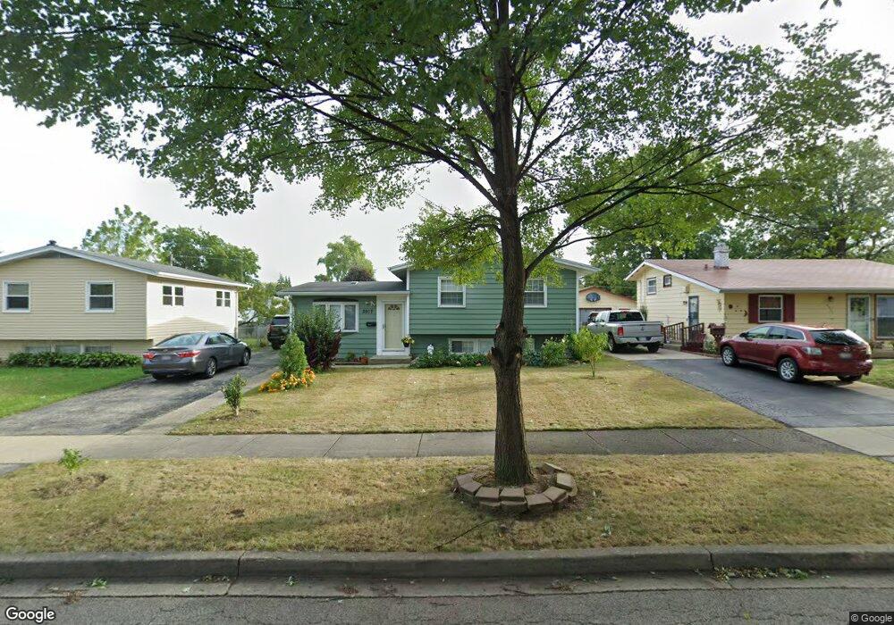
2017 Harding Ave Waukegan, IL 60085
Estimated Value: $204,000 - $258,000
3
Beds
1
Bath
959
Sq Ft
$237/Sq Ft
Est. Value
About This Home
This home is located at 2017 Harding Ave, Waukegan, IL 60085 and is currently estimated at $227,539, approximately $237 per square foot. 2017 Harding Ave is a home located in Lake County with nearby schools including Clearview Elementary School, Miguel Juarez Middle School, and Waukegan High School.
Ownership History
Date
Name
Owned For
Owner Type
Purchase Details
Closed on
Jan 20, 2017
Sold by
Pnc Bank National Association
Bought by
Sotelo Victor M
Current Estimated Value
Purchase Details
Closed on
Sep 2, 2016
Sold by
Campbell Normal E and County Of Collector Of Lake Co
Bought by
Pnc Bank National Association
Purchase Details
Closed on
Mar 25, 2011
Sold by
Campbell Normal E
Bought by
Campbell Normal and Mill Beverly
Create a Home Valuation Report for This Property
The Home Valuation Report is an in-depth analysis detailing your home's value as well as a comparison with similar homes in the area
Home Values in the Area
Average Home Value in this Area
Purchase History
| Date | Buyer | Sale Price | Title Company |
|---|---|---|---|
| Sotelo Victor M | $81,500 | Premier Title | |
| Pnc Bank National Association | $92,000 | Attorney | |
| Campbell Normal | -- | None Available |
Source: Public Records
Tax History Compared to Growth
Tax History
| Year | Tax Paid | Tax Assessment Tax Assessment Total Assessment is a certain percentage of the fair market value that is determined by local assessors to be the total taxable value of land and additions on the property. | Land | Improvement |
|---|---|---|---|---|
| 2024 | $4,682 | $63,916 | $11,160 | $52,756 |
| 2023 | $4,552 | $57,655 | $10,067 | $47,588 |
| 2022 | $4,552 | $52,561 | $9,463 | $43,098 |
| 2021 | $4,134 | $45,652 | $8,440 | $37,212 |
| 2020 | $4,141 | $42,530 | $7,863 | $34,667 |
| 2019 | $4,115 | $38,972 | $7,205 | $31,767 |
| 2018 | $3,653 | $31,334 | $7,649 | $23,685 |
| 2017 | $3,943 | $27,722 | $6,767 | $20,955 |
| 2016 | $3,723 | $24,089 | $5,880 | $18,209 |
| 2015 | $2,628 | $21,560 | $5,263 | $16,297 |
| 2014 | $1,755 | $21,365 | $4,733 | $16,632 |
| 2012 | $2,911 | $23,148 | $5,129 | $18,019 |
Source: Public Records
Map
Nearby Homes
- 2009 Harding Ave
- 2008 Harding Ave
- 12352 W Atlantic Ave
- 2207 Williamsburg Dr
- 1038 Indiana Ave
- 2440 W Cheyenne Rd
- 1023 N Elmwood Ave
- 1913 Chippewa Rd
- 1005 N Lewis Ave
- 1117 Judge Ave
- 1504 W Glen Flora Ave
- 968 Judge Ave
- 2813 Theresa Ave
- 2715 W Greenwood Ave
- 2810 W Atlantic Ave
- 1312 N Linden Ave
- 1018 W Atlantic Ave
- 1105 Woodlawn Cir
- 1000 Pine St
- 1213 Grand Ave
- 2013 Harding Ave
- 2021 Harding Ave
- 2025 Harding Ave
- 2100 W Atlantic Ave
- 2104 W Atlantic Ave
- 2022 W Atlantic Ave
- 2108 W Atlantic Ave
- 2018 W Atlantic Ave
- 2101 Harding Ave
- 2016 Harding Ave
- 2020 Harding Ave
- 2012 Harding Ave
- 2024 Harding Ave
- 2105 Harding Ave
- 2112 W Atlantic Ave
- 2100 Harding Ave
- 2021 W Atlantic Ave
- 1515 N Martin Ave
- 2101 W Atlantic Ave
- 2109 Harding Ave