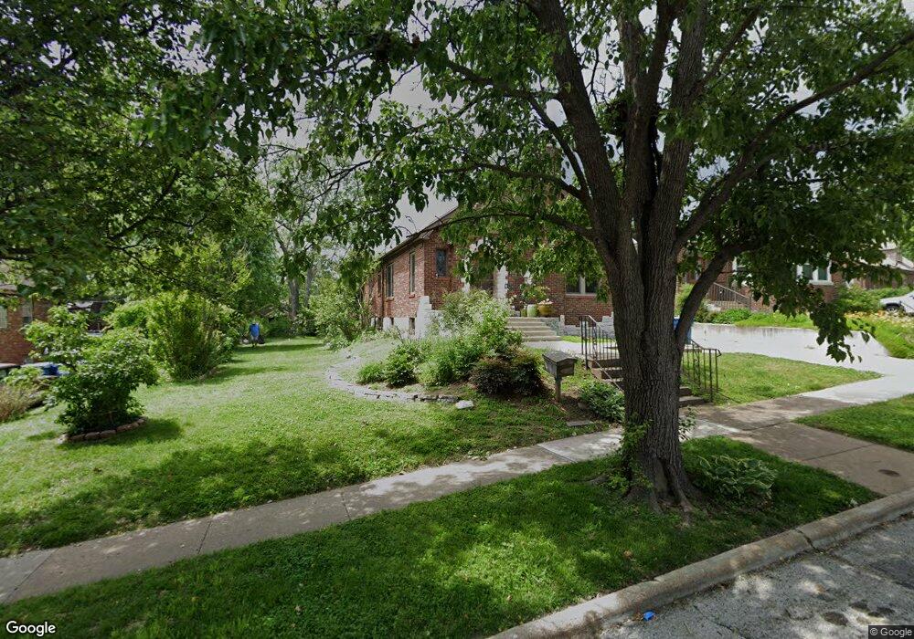
2017 Mccready Ave Saint Louis, MO 63143
Estimated Value: $275,617 - $306,000
2
Beds
1
Bath
1,260
Sq Ft
$231/Sq Ft
Est. Value
About This Home
This home is located at 2017 Mccready Ave, Saint Louis, MO 63143 and is currently estimated at $291,154, approximately $231 per square foot. 2017 Mccready Ave is a home located in St. Louis County with nearby schools including Maplewood Richmond Heights Elementary School, Maplewood Richmond Heights Middle School, and Maplewood-Richmond Heights High School.
Ownership History
Date
Name
Owned For
Owner Type
Purchase Details
Closed on
Jun 12, 2003
Sold by
Laverdiere Louise
Bought by
Rannells Charles Gregory
Current Estimated Value
Home Financials for this Owner
Home Financials are based on the most recent Mortgage that was taken out on this home.
Original Mortgage
$142,500
Outstanding Balance
$61,833
Interest Rate
5.65%
Mortgage Type
Purchase Money Mortgage
Estimated Equity
$229,321
Purchase Details
Closed on
May 5, 2002
Sold by
Trost Joseph and Trost Louise
Bought by
Laverdiere Louise
Create a Home Valuation Report for This Property
The Home Valuation Report is an in-depth analysis detailing your home's value as well as a comparison with similar homes in the area
Home Values in the Area
Average Home Value in this Area
Purchase History
| Date | Buyer | Sale Price | Title Company |
|---|---|---|---|
| Rannells Charles Gregory | $150,000 | -- | |
| Laverdiere Louise | -- | -- |
Source: Public Records
Mortgage History
| Date | Status | Borrower | Loan Amount |
|---|---|---|---|
| Open | Rannells Charles Gregory | $142,500 |
Source: Public Records
Tax History
| Year | Tax Paid | Tax Assessment Tax Assessment Total Assessment is a certain percentage of the fair market value that is determined by local assessors to be the total taxable value of land and additions on the property. | Land | Improvement |
|---|---|---|---|---|
| 2025 | $3,741 | $54,270 | $36,330 | $17,940 |
| 2024 | $3,741 | $45,300 | $22,630 | $22,670 |
| 2023 | $3,712 | $45,300 | $22,630 | $22,670 |
| 2022 | $3,534 | $40,530 | $22,630 | $17,900 |
| 2021 | $3,507 | $40,530 | $22,630 | $17,900 |
| 2020 | $3,657 | $40,000 | $19,380 | $20,620 |
| 2019 | $3,634 | $40,000 | $19,380 | $20,620 |
| 2018 | $3,183 | $31,650 | $11,720 | $19,930 |
| 2017 | $3,124 | $31,650 | $11,720 | $19,930 |
| 2016 | $2,819 | $27,510 | $10,770 | $16,740 |
Source: Public Records
Map
Nearby Homes
- 7461 Rupert Ave
- 2124 Bredell Ave
- 7659 Folk Ave
- 1502 Bredell Ave
- 7765 Weston Place
- 7425 Gayola Place
- 7739 W Bruno Ave
- 1432 Bredell Ave
- 7721 W Ranken Ave
- 7396 Arlington Dr
- 1612 Del Norte Ave
- 7392 Arlington Dr
- 7740 Jerome Ave
- 7906 Elinor Ave
- 7923 W Bruno Ave
- 2620 Lyle Ave
- 1420 Rankin Dr
- 1327 Laclede Station Rd
- 1514 Bellevue Ave
- 2039 Yale Ave
- 2015 Mccready Ave
- 2021 Mccready Ave
- 2023 Mccready Ave
- 7564 W Bruno Ave
- 7562 W Bruno Ave
- 2016 Hiawatha Ave
- 7566 W Bruno Ave
- 2018 Hiawatha Ave
- 7560 W Bruno Ave
- 7568 W Bruno Ave
- 2022 Hiawatha Ave
- 7570 W Bruno Ave
- 2018 Mccready Ave
- 2022 Mccready Ave
- 2025 Mccready Ave
- 2024 Hiawatha Ave
- 2024 Mccready Ave
- 2016 Mccready Ave
- 7558 W Bruno Ave
- 2026 Mccready Ave
Your Personal Tour Guide
Ask me questions while you tour the home.