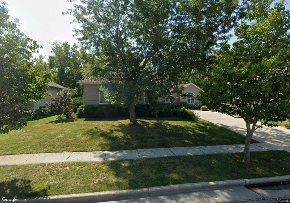
2017 Meadow Dr Stoughton, WI 53589
Estimated Value: $504,138 - $539,000
3
Beds
3
Baths
2,149
Sq Ft
$243/Sq Ft
Est. Value
About This Home
This home is located at 2017 Meadow Dr, Stoughton, WI 53589 and is currently estimated at $522,785, approximately $243 per square foot. 2017 Meadow Dr is a home located in Dane County with nearby schools including Kegonsa Elementary School, River Bluff Middle School, and Stoughton High School.
Ownership History
Date
Name
Owned For
Owner Type
Purchase Details
Closed on
Jan 14, 2011
Sold by
Carter Richard W and Carter Debra B
Bought by
Carter Debra B
Current Estimated Value
Purchase Details
Closed on
May 18, 2006
Sold by
Tofte Richard and Tofte Karen
Bought by
Carter Richard W and Carter Debra B
Home Financials for this Owner
Home Financials are based on the most recent Mortgage that was taken out on this home.
Original Mortgage
$165,000
Interest Rate
6.54%
Mortgage Type
New Conventional
Create a Home Valuation Report for This Property
The Home Valuation Report is an in-depth analysis detailing your home's value as well as a comparison with similar homes in the area
Home Values in the Area
Average Home Value in this Area
Purchase History
| Date | Buyer | Sale Price | Title Company |
|---|---|---|---|
| Carter Debra B | -- | None Available | |
| Carter Richard W | $293,400 | None Available |
Source: Public Records
Mortgage History
| Date | Status | Borrower | Loan Amount |
|---|---|---|---|
| Closed | Carter Richard W | $165,000 |
Source: Public Records
Tax History Compared to Growth
Tax History
| Year | Tax Paid | Tax Assessment Tax Assessment Total Assessment is a certain percentage of the fair market value that is determined by local assessors to be the total taxable value of land and additions on the property. | Land | Improvement |
|---|---|---|---|---|
| 2024 | $8,418 | $511,700 | $39,600 | $472,100 |
| 2023 | $7,790 | $494,900 | $39,600 | $455,300 |
| 2021 | $7,577 | $400,300 | $39,600 | $360,700 |
| 2020 | $7,738 | $380,000 | $39,600 | $340,400 |
| 2019 | $7,733 | $367,500 | $39,600 | $327,900 |
| 2018 | $7,497 | $349,300 | $39,600 | $309,700 |
| 2017 | $6,821 | $309,700 | $39,600 | $270,100 |
| 2016 | $6,467 | $293,500 | $39,600 | $253,900 |
| 2015 | $6,157 | $274,300 | $39,600 | $234,700 |
| 2014 | $5,936 | $265,500 | $39,600 | $225,900 |
| 2013 | $5,788 | $253,700 | $39,600 | $214,100 |
Source: Public Records
Map
Nearby Homes
- 372 Stoney Ridge Trail
- 325 Stoney Ridge Trail
- 117 Ashberry Ln
- 108 Ashberry Ln
- 709 Race Track Rd
- 2100 Stone Crest Rd
- 1033 Vernon St
- 801 Haskel Ct
- 1300 Garden Ave
- 1309 Moline St
- 617 E Main St
- 126 E Washington St
- Lot 1 Pleasant Hill Rd
- 119 Forton St
- 389 Dhalia Dr
- 388 Lilac Ln Unit 12
- 356 Orchid Ave
- 318 Mandt Pkwy
- 183 W Main St
- 1009 S 4th St
- 2009 Meadow Dr
- 2025 Meadow Dr
- 2001 Meadow Dr
- 2016 Meadow Dr
- 2024 Meadow Dr
- 2008 Meadow Dr
- 1917 Meadow Dr
- 1916 Eastwood Dr
- 1909 Meadow Dr
- 1910 Meadow Dr Unit 1908
- 1910 Meadow Dr Unit 1910
- 1908 Meadow Dr Unit 1908
- 1908 Eastwood Dr
- 1385 Spring Rd
- 1901 Meadow Dr
- 1917 Eastwood Dr
- 1902 Meadow Dr
- 1900 Eastwood Dr
- 1900 Meadow Dr Unit 1900
- 1909 Eastwood Dr