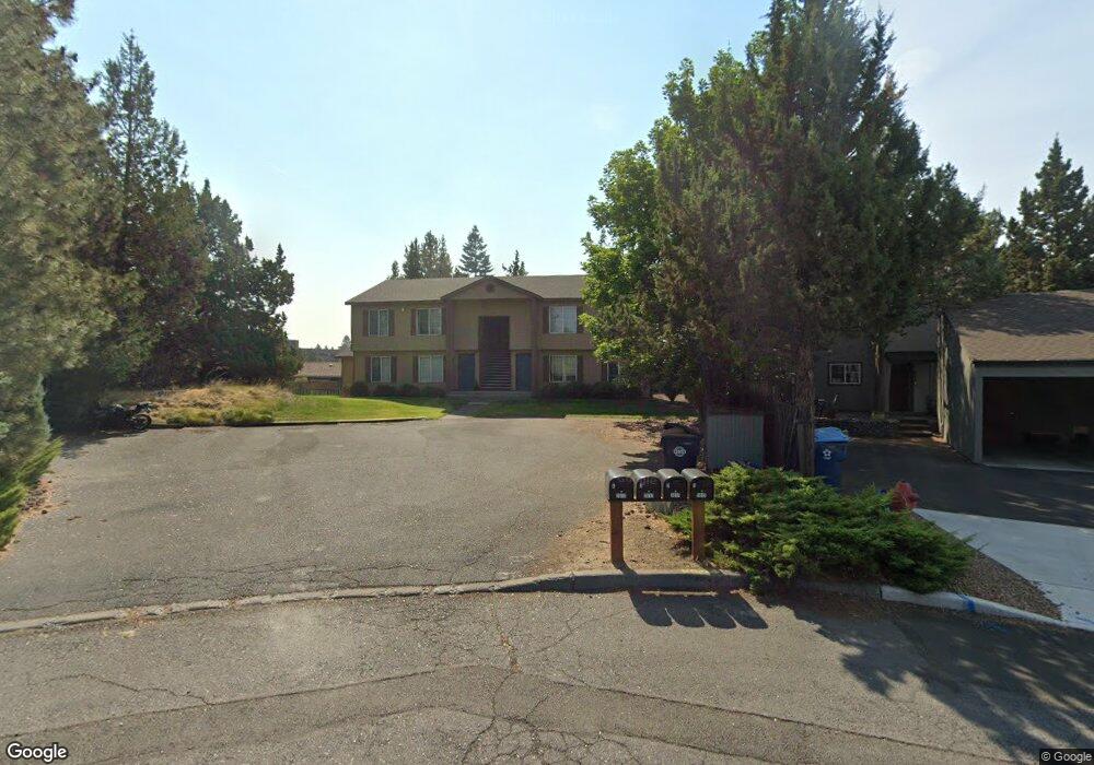
2017 NE Patterson Cir Bend, OR 97701
Mountain View NeighborhoodEstimated Value: $881,000 - $1,057,186
8
Beds
4
Baths
3,666
Sq Ft
$262/Sq Ft
Est. Value
About This Home
This home is located at 2017 NE Patterson Cir, Bend, OR 97701 and is currently estimated at $959,797, approximately $261 per square foot. 2017 NE Patterson Cir is a home located in Deschutes County with nearby schools including Ensworth Elementary School, Pilot Butte Middle School, and Mountain View Senior High School.
Ownership History
Date
Name
Owned For
Owner Type
Purchase Details
Closed on
Feb 13, 2018
Sold by
Cheney Cynthia
Bought by
Ciwc Llc
Current Estimated Value
Purchase Details
Closed on
Jun 17, 2016
Sold by
Cjwc Llc
Bought by
Cheney Cynthia
Home Financials for this Owner
Home Financials are based on the most recent Mortgage that was taken out on this home.
Original Mortgage
$102,000
Interest Rate
3.61%
Mortgage Type
New Conventional
Purchase Details
Closed on
Dec 2, 2004
Sold by
Pheil Rob K
Bought by
Cjwc Llc
Create a Home Valuation Report for This Property
The Home Valuation Report is an in-depth analysis detailing your home's value as well as a comparison with similar homes in the area
Home Values in the Area
Average Home Value in this Area
Purchase History
| Date | Buyer | Sale Price | Title Company |
|---|---|---|---|
| Ciwc Llc | -- | Deschutes County Title | |
| Cheney Cynthia | -- | Accommodation | |
| Cjwc Llc | -- | Amerititle |
Source: Public Records
Mortgage History
| Date | Status | Borrower | Loan Amount |
|---|---|---|---|
| Previous Owner | Cheney Cynthia | $102,000 |
Source: Public Records
Tax History
| Year | Tax Paid | Tax Assessment Tax Assessment Total Assessment is a certain percentage of the fair market value that is determined by local assessors to be the total taxable value of land and additions on the property. | Land | Improvement |
|---|---|---|---|---|
| 2025 | $6,472 | $383,060 | -- | -- |
| 2024 | $6,227 | $371,910 | -- | -- |
| 2023 | $5,773 | $361,080 | $0 | $0 |
| 2022 | $5,386 | $340,360 | $0 | $0 |
| 2021 | $5,394 | $330,450 | $0 | $0 |
| 2020 | $5,117 | $330,450 | $0 | $0 |
| 2019 | $4,975 | $320,830 | $0 | $0 |
| 2018 | $4,834 | $311,490 | $0 | $0 |
| 2017 | $4,693 | $302,420 | $0 | $0 |
| 2016 | $4,475 | $293,620 | $0 | $0 |
| 2015 | $4,351 | $285,070 | $0 | $0 |
| 2014 | $4,223 | $276,770 | $0 | $0 |
Source: Public Records
Map
Nearby Homes
- 2028 NE Patterson Cir
- 2101 NE Holliday Ave
- 2011 NE Neil Way
- 2025 NE Neil Way
- 2044 NE Full Moon Dr
- 2026 NE Neil Way
- 1801 NE Purcell Blvd Unit 20
- 2508 NE Buckwheat Ct
- 2382 NE Jackson Ave
- 2432 NE Crocus Way
- 2394 NE Crocus Way
- 2549 NE Iris Way
- 2552 NE Iris Way
- 2260 NE Indigo Ln
- 2567 NE Rosemary Dr
- 1785 NE Janice Way
- 1801 NE Shadowcrest Way
- 2711 NE Yellow Ribbon Dr
- 1699 NE Sonya Ct
- 1761 NE Wichita Way
- 2007 NE Patterson Cir
- 2056 NE Purcell Blvd
- 2010 NE Patterson Cir
- 2054 NE Holliday Ave
- 2054 NE Holliday Ave Unit 1-4
- 2022 NE Purcell Blvd
- 2000 NE Patterson Cir Unit 1-4
- 2000 NE Patterson Cir
- 2014 NE Purcell Blvd
- 2040 NE Holliday Ave
- 2202 NE Holliday Ave
- 2075 NE Holliday Ave Unit 2073
- 2071 NE York Cir
- 2055 NE York Cir
- 2012 NE Neil Ct
- 2001 NE Neil Ct
- 2005 NE Holliday Ave Unit Darla Wood Walters
- 2005 NE Holliday Ave Unit 2005 NE Holliday
Your Personal Tour Guide
Ask me questions while you tour the home.