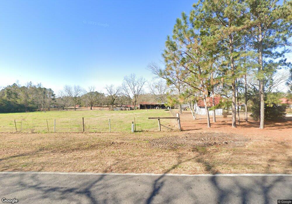
2017 Old 179 N Whigham, GA 39897
Estimated Value: $155,867 - $388,000
--
Bed
1
Bath
1,827
Sq Ft
$138/Sq Ft
Est. Value
About This Home
This home is located at 2017 Old 179 N, Whigham, GA 39897 and is currently estimated at $251,622, approximately $137 per square foot. 2017 Old 179 N is a home located in Grady County.
Ownership History
Date
Name
Owned For
Owner Type
Purchase Details
Closed on
Feb 29, 2024
Sold by
Hall Mack A
Bought by
Hall Joyce E
Current Estimated Value
Purchase Details
Closed on
Jul 18, 2019
Sold by
Mcgalliard Charlene B
Bought by
Mcgalliard Charlene B and Wilson Teresa M
Purchase Details
Closed on
Jun 25, 2015
Sold by
Furr Janice Brock
Bought by
Brock Arthur and Mcgalliard Charlene Brock
Purchase Details
Closed on
Oct 7, 1996
Bought by
Hall Mack A
Purchase Details
Closed on
Sep 9, 1977
Bought by
Hall Mack A
Create a Home Valuation Report for This Property
The Home Valuation Report is an in-depth analysis detailing your home's value as well as a comparison with similar homes in the area
Home Values in the Area
Average Home Value in this Area
Purchase History
| Date | Buyer | Sale Price | Title Company |
|---|---|---|---|
| Hall Joyce E | -- | -- | |
| Mcgalliard Charlene B | -- | -- | |
| Brock Arthur | -- | -- | |
| Hall Mack A | $1,000 | -- | |
| Hall Mack A | -- | -- |
Source: Public Records
Tax History Compared to Growth
Tax History
| Year | Tax Paid | Tax Assessment Tax Assessment Total Assessment is a certain percentage of the fair market value that is determined by local assessors to be the total taxable value of land and additions on the property. | Land | Improvement |
|---|---|---|---|---|
| 2024 | $1,080 | $50,933 | $16,088 | $34,845 |
| 2023 | $496 | $31,503 | $15,427 | $16,076 |
| 2022 | $492 | $31,503 | $15,427 | $16,076 |
| 2021 | $422 | $31,503 | $15,427 | $16,076 |
| 2020 | $419 | $31,503 | $15,427 | $16,076 |
| 2019 | $416 | $31,503 | $15,427 | $16,076 |
| 2018 | $381 | $31,503 | $15,427 | $16,076 |
| 2017 | $356 | $31,503 | $15,427 | $16,076 |
| 2016 | $288 | $29,183 | $15,427 | $13,756 |
| 2015 | $280 | $29,183 | $15,427 | $13,756 |
| 2014 | -- | $29,183 | $15,427 | $13,756 |
| 2013 | -- | $30,144 | $17,188 | $12,955 |
Source: Public Records
Map
Nearby Homes
- 2033 Old 179 N
- 0 Cal Thomas Rd
- 206 Lodge Ln
- 165 Larkin St
- 231 Mcintyre Ln
- 1741 Georgia 112
- 0 Harrell Rd
- 0 Earl Hester Rd
- 267 Providence Rd
- 0 Pelham Rd Unit 23706472
- 53 +/- A Bond Rd
- 0 Eddie Avery Rd Unit 14399
- 189 Sabino Dr
- 1520 Upper Hawthorne Trail
- 547 Eddie Avery Rd
- Harrell Mill Rd
- 0 Upper Hawthorne Trail
- 723 Providence Rd
- 114 Pr Harrell Rd
- 1137 Summerfield