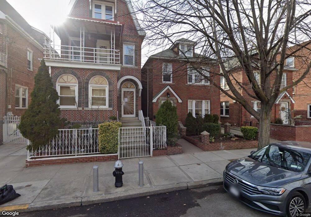
2017 Paulding Ave Bronx, NY 10462
Morris Park NeighborhoodEstimated Value: $723,000 - $906,000
Studio
--
Bath
1,920
Sq Ft
$414/Sq Ft
Est. Value
About This Home
This home is located at 2017 Paulding Ave, Bronx, NY 10462 and is currently estimated at $794,524, approximately $413 per square foot. 2017 Paulding Ave is a home located in Bronx County with nearby schools including P.S. 083 The Donald Hertz School, Emblaze Academy Charter School, and St. Clare of Assisi School.
Ownership History
Date
Name
Owned For
Owner Type
Purchase Details
Closed on
Oct 29, 1999
Sold by
Bastone Joseph and Bastone Gina
Bought by
Consentino Frank
Current Estimated Value
Home Financials for this Owner
Home Financials are based on the most recent Mortgage that was taken out on this home.
Original Mortgage
$189,000
Interest Rate
7.71%
Create a Home Valuation Report for This Property
The Home Valuation Report is an in-depth analysis detailing your home's value as well as a comparison with similar homes in the area
Home Values in the Area
Average Home Value in this Area
Purchase History
| Date | Buyer | Sale Price | Title Company |
|---|---|---|---|
| Consentino Frank | $210,000 | Chicago Title |
Source: Public Records
Mortgage History
| Date | Status | Borrower | Loan Amount |
|---|---|---|---|
| Previous Owner | Consentino Frank | $189,000 |
Source: Public Records
Tax History
| Year | Tax Paid | Tax Assessment Tax Assessment Total Assessment is a certain percentage of the fair market value that is determined by local assessors to be the total taxable value of land and additions on the property. | Land | Improvement |
|---|---|---|---|---|
| 2025 | $7,176 | $37,411 | $7,271 | $30,140 |
| 2024 | $7,176 | $37,129 | $7,337 | $29,792 |
| 2023 | $6,829 | $35,028 | $6,913 | $28,115 |
| 2022 | $6,310 | $46,620 | $9,900 | $36,720 |
| 2021 | $6,258 | $38,340 | $9,900 | $28,440 |
| 2020 | $6,303 | $39,240 | $9,900 | $29,340 |
| 2019 | $6,180 | $33,540 | $9,900 | $23,640 |
| 2018 | $5,653 | $29,190 | $8,494 | $20,696 |
| 2017 | $5,314 | $27,538 | $9,446 | $18,092 |
| 2016 | $4,884 | $25,980 | $9,900 | $16,080 |
| 2015 | $3,008 | $27,120 | $10,980 | $16,140 |
| 2014 | $3,008 | $26,340 | $10,980 | $15,360 |
Source: Public Records
Map
Nearby Homes
- 2019 Colden Ave
- 2037 Radcliff Ave
- 1054 Lydig Ave
- 1059 Neill Ave
- 2004 Bogart Ave
- - Lydig Ave
- 1925 Radcliff Ave
- 1100 Neill Ave
- 2080 Matthews Ave
- 1942 Haight Ave
- 2129 Muliner Ave
- 1917 Haight Ave
- 2090 Barnes Ave Unit 3G
- 2090 Barnes Ave Unit 4D
- 2080 Barnes Ave Unit 5B
- 2080 Barnes Ave Unit 4A
- 2080 Barnes Ave Unit 4C
- 2080 Barnes Ave Unit 4-E
- 2080 Barnes Ave Unit 3B
- 2080 Barnes Ave Unit 3H
- 2015 Paulding Ave
- 2019 Paulding Ave
- 2021 Paulding Ave
- 2013 Paulding Ave
- 2023-2025 Paulding Ave
- 2018 Colden Ave
- 2009 Paulding Ave
- 2014 Colden Ave
- 2020 Colden Ave
- 2012 Colden Ave
- 2007 Paulding Ave
- 2022 Colden Ave
- 2027 Paulding Ave
- 2010 Colden Ave
- 2024 Colden Ave
- 2005 Paulding Ave
- 1011 Neill Ave
- 2029 Paulding Ave
- 2020 Paulding Ave
- 2018 Paulding Ave
Your Personal Tour Guide
Ask me questions while you tour the home.