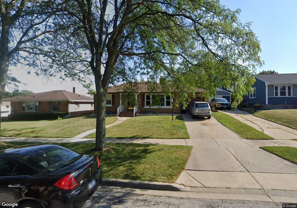
2017 Pearsall Pkwy Waukegan, IL 60085
Norshore Park NeighborhoodEstimated Value: $237,046 - $281,000
3
Beds
1
Bath
1,453
Sq Ft
$179/Sq Ft
Est. Value
About This Home
This home is located at 2017 Pearsall Pkwy, Waukegan, IL 60085 and is currently estimated at $259,512, approximately $178 per square foot. 2017 Pearsall Pkwy is a home located in Lake County with nearby schools including Clearview Elementary School, John R Lewis Middle School, and Waukegan High School.
Ownership History
Date
Name
Owned For
Owner Type
Purchase Details
Closed on
Jul 23, 2002
Sold by
Merlock Alan J
Bought by
Alvarez Nicolas and Alvarez Bertha
Current Estimated Value
Home Financials for this Owner
Home Financials are based on the most recent Mortgage that was taken out on this home.
Original Mortgage
$90,000
Interest Rate
6.62%
Purchase Details
Closed on
May 5, 1999
Sold by
Merlock Frank J and Merlock Mary T
Bought by
Merlock Alan J
Home Financials for this Owner
Home Financials are based on the most recent Mortgage that was taken out on this home.
Original Mortgage
$100,000
Interest Rate
7.04%
Mortgage Type
Seller Take Back
Create a Home Valuation Report for This Property
The Home Valuation Report is an in-depth analysis detailing your home's value as well as a comparison with similar homes in the area
Home Values in the Area
Average Home Value in this Area
Purchase History
| Date | Buyer | Sale Price | Title Company |
|---|---|---|---|
| Alvarez Nicolas | $154,000 | Chicago Title Insurance Co | |
| Merlock Alan J | $100,000 | -- |
Source: Public Records
Mortgage History
| Date | Status | Borrower | Loan Amount |
|---|---|---|---|
| Closed | Alvarez Nicolas | $90,000 | |
| Previous Owner | Merlock Alan J | $100,000 |
Source: Public Records
Tax History Compared to Growth
Tax History
| Year | Tax Paid | Tax Assessment Tax Assessment Total Assessment is a certain percentage of the fair market value that is determined by local assessors to be the total taxable value of land and additions on the property. | Land | Improvement |
|---|---|---|---|---|
| 2024 | $3,621 | $63,523 | $8,965 | $54,558 |
| 2023 | $3,463 | $54,401 | $7,678 | $46,723 |
| 2022 | $3,463 | $46,418 | $6,657 | $39,761 |
| 2021 | $3,650 | $46,013 | $6,599 | $39,414 |
| 2020 | $1,540 | $42,867 | $6,148 | $36,719 |
| 2019 | $1,669 | $39,281 | $5,634 | $33,647 |
| 2018 | $1,803 | $35,732 | $7,975 | $27,757 |
| 2017 | $1,933 | $31,613 | $7,056 | $24,557 |
| 2016 | $2,099 | $27,470 | $6,131 | $21,339 |
| 2015 | $2,295 | $24,586 | $5,487 | $19,099 |
| 2014 | $3,409 | $25,687 | $6,228 | $19,459 |
| 2012 | $4,445 | $27,830 | $6,748 | $21,082 |
Source: Public Records
Map
Nearby Homes
- 819 S Fulton Ave
- 1712 11th St
- 12601 W Atlantic Ave
- 2116 & 2101 Williamsburg Dr
- 1511 14th St
- 910 Cummings Ave
- 2726 W Hidden Glen Dr
- 446 S Jackson St
- 1244 Victoria Ave
- 815 Prescott St
- 724 10th St
- 1521 Seymour Ave
- 3027 Belvidere Rd
- 1210 Park Ave
- 49 S Lewis Ave
- 631 8th St
- 1521 Catalpa Ave
- 842 Wadsworth Ave
- 1101 Adams St
- 1617 Grove Ave
- 2021 Pearsall Pkwy
- 2011 Pearsall Pkwy
- 2103 Pearsall Pkwy
- 2007 Pearsall Pkwy
- 2020 9th Pkwy
- 2000 W Dugdale Rd
- 2030 9th Pkwy
- 2002 9th Pkwy
- 2109 Pearsall Pkwy
- 2016 Pearsall Pkwy
- 2001 Pearsall Pkwy
- 2010 Pearsall Pkwy
- 2102 Pearsall Pkwy
- 2006 Pearsall Pkwy
- 2106 9th Pkwy
- 2111 Pearsall Pkwy
- 2106 Pearsall Pkwy
- 2000 Pearsall Pkwy
- 2116 9th Pkwy
- 2119 Pearsall Pkwy