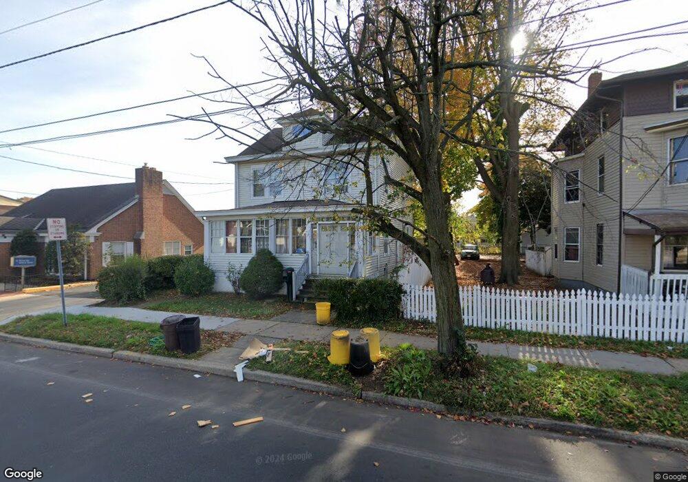
2017 S Broad St Trenton, NJ 08610
Franklin Park NeighborhoodEstimated Value: $291,000 - $347,020
--
Bed
--
Bath
1,504
Sq Ft
$213/Sq Ft
Est. Value
About This Home
This home is located at 2017 S Broad St, Trenton, NJ 08610 and is currently estimated at $320,755, approximately $213 per square foot. 2017 S Broad St is a home located in Mercer County with nearby schools including Lalor Elementary School, Albert E. Grice Middle School, and Hamilton West-Watson High School.
Ownership History
Date
Name
Owned For
Owner Type
Purchase Details
Closed on
Oct 7, 2005
Sold by
Olivero Jose
Bought by
Recinos Jose and Recinos Flor
Current Estimated Value
Home Financials for this Owner
Home Financials are based on the most recent Mortgage that was taken out on this home.
Original Mortgage
$148,800
Outstanding Balance
$79,745
Interest Rate
5.78%
Mortgage Type
Purchase Money Mortgage
Estimated Equity
$241,010
Purchase Details
Closed on
Jul 17, 2002
Sold by
Buzgo Alexander
Bought by
Olivero Jose
Create a Home Valuation Report for This Property
The Home Valuation Report is an in-depth analysis detailing your home's value as well as a comparison with similar homes in the area
Home Values in the Area
Average Home Value in this Area
Purchase History
| Date | Buyer | Sale Price | Title Company |
|---|---|---|---|
| Recinos Jose | $186,000 | -- | |
| Olivero Jose | $120,000 | -- |
Source: Public Records
Mortgage History
| Date | Status | Borrower | Loan Amount |
|---|---|---|---|
| Open | Recinos Jose | $148,800 |
Source: Public Records
Tax History Compared to Growth
Tax History
| Year | Tax Paid | Tax Assessment Tax Assessment Total Assessment is a certain percentage of the fair market value that is determined by local assessors to be the total taxable value of land and additions on the property. | Land | Improvement |
|---|---|---|---|---|
| 2025 | $4,965 | $140,900 | $25,300 | $115,600 |
| 2024 | $4,654 | $140,900 | $25,300 | $115,600 |
| 2023 | $4,654 | $140,900 | $25,300 | $115,600 |
| 2022 | $4,581 | $140,900 | $25,300 | $115,600 |
| 2021 | $5,668 | $140,900 | $25,300 | $115,600 |
| 2020 | $5,161 | $140,900 | $25,300 | $115,600 |
| 2019 | $5,009 | $140,900 | $25,300 | $115,600 |
| 2018 | $4,943 | $140,900 | $25,300 | $115,600 |
| 2017 | $4,723 | $140,900 | $25,300 | $115,600 |
| 2016 | $3,810 | $140,900 | $25,300 | $115,600 |
| 2015 | $5,496 | $105,500 | $18,300 | $87,200 |
| 2014 | $5,424 | $105,500 | $18,300 | $87,200 |
Source: Public Records
Map
Nearby Homes
- 2033 Genesee St
- 1961 S Broad St
- 604 Schiller Ave
- 109 E Park Ave
- 1857 S Broad St
- 316 W Park Ave
- 1856 S Broad St
- 34 Sewell Ave
- 949 Schiller Ave
- 27 Westcott Ave
- 218 Sewell Ave
- 429 Wilfred Ave
- 238 Grand Ave
- 1816 Chambers St
- 229 Parkinson Ave
- 323 Wilfred Ave
- 314 Joseph St
- 229 Wilfred Ave
- 408 Berg Ave
- 164 Lillian Ave
- 2011 S Broad St Unit . 2
- 2011 S Broad St
- 2007 S Broad St
- 314 Lafayette Ave
- 3 Mary St
- 322 Lafayette Ave
- 310 Lafayette Ave
- 302 Lafayette Ave
- 332 Lafayette Ave
- 4 Mary St
- 2035 S Broad St
- 2042 S Broad St
- 336 Lafayette Ave
- 2039 S Broad St
- 2041 S Broad St
- 340 Lafayette Ave
- 2024 S Broad St
- 2050 S Broad St
- 266 Lafayette Ave
- 2022 S Broad St