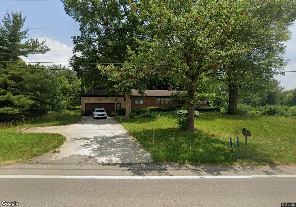
2017 S State Route 53 Tiffin, OH 44883
Estimated Value: $197,000 - $215,974
3
Beds
2
Baths
1,320
Sq Ft
$155/Sq Ft
Est. Value
About This Home
This home is located at 2017 S State Route 53, Tiffin, OH 44883 and is currently estimated at $204,744, approximately $155 per square foot. 2017 S State Route 53 is a home located in Seneca County with nearby schools including Hopewell-Loudon Local Elementary School, North Central Academy - Fremont, and Calvert Catholic Elementary School.
Ownership History
Date
Name
Owned For
Owner Type
Purchase Details
Closed on
Jun 26, 2012
Sold by
Hare Valynda Mae
Bought by
Hare Valynda M and Valynda M Hare Living Trust
Current Estimated Value
Purchase Details
Closed on
Feb 21, 2012
Sold by
Hare Valynda Mae
Bought by
Hare Valynda Mae
Purchase Details
Closed on
Feb 25, 2002
Sold by
Romig Clifford G
Bought by
Romig Clifford G
Purchase Details
Closed on
Jul 29, 1998
Sold by
Romig Clifford G
Bought by
Romig Clifford G
Purchase Details
Closed on
Oct 1, 1985
Create a Home Valuation Report for This Property
The Home Valuation Report is an in-depth analysis detailing your home's value as well as a comparison with similar homes in the area
Home Values in the Area
Average Home Value in this Area
Purchase History
| Date | Buyer | Sale Price | Title Company |
|---|---|---|---|
| Hare Valynda M | -- | None Available | |
| Hare Valynda Mae | -- | None Available | |
| Romig Clifford G | -- | -- | |
| Romig Clifford G | -- | -- | |
| -- | $120,000 | -- |
Source: Public Records
Tax History Compared to Growth
Tax History
| Year | Tax Paid | Tax Assessment Tax Assessment Total Assessment is a certain percentage of the fair market value that is determined by local assessors to be the total taxable value of land and additions on the property. | Land | Improvement |
|---|---|---|---|---|
| 2024 | $1,865 | $59,350 | $11,950 | $47,400 |
| 2023 | $1,865 | $59,350 | $11,950 | $47,400 |
| 2022 | $1,694 | $50,730 | $10,570 | $40,160 |
| 2021 | $1,704 | $50,730 | $10,570 | $40,160 |
| 2020 | $1,711 | $50,726 | $10,567 | $40,159 |
| 2019 | $1,820 | $43,166 | $9,188 | $33,978 |
| 2018 | $1,864 | $43,166 | $9,188 | $33,978 |
| 2017 | $1,895 | $43,166 | $9,188 | $33,978 |
| 2016 | $1,821 | $45,277 | $9,188 | $36,089 |
| 2015 | $1,798 | $45,277 | $9,188 | $36,089 |
| 2014 | $1,706 | $45,277 | $9,188 | $36,089 |
| 2013 | $1,858 | $45,277 | $9,188 | $36,089 |
Source: Public Records
Map
Nearby Homes
- 1590 Meadowlake Dr
- 2351 S State Route 53
- 841 S Sandusky St
- 185 Longfellow Dr
- 153 Longfellow Dr
- 0 County Road 54 Unit 225023228
- 0 County Road 54 Unit 20242258
- 2050 W County Road 52
- 2465 S County Road 19
- 106 Sycamore Woods Ln
- 2483 W County Road 52
- 2031 W County Road 52
- 378 Lelar St
- 269 Lelar St
- 137 Hampden Park
- 115 Lindsay Ave
- 0 W Market St
- 314 S Sandusky St
- 0 Shaffer Park Dr Unit 20251435
- 365 Benner St
- 1857 S State Route 53
- 0 S State Route 53
- 2051 S State Route 53
- 2044 S State Route 53
- 2010 S State Route 53
- 2044 Ohio 53
- 1927 S State Route 53
- 2065 S State Route 53
- 2064 S State Route 53
- 2015 S State Route 53
- 2085 S State Route 53
- 1580 Meadowlake Dr
- 2119 S State Route 53
- 1548 S State Route 53 Unit 30
- 1600 Meadowlake Dr
- 1680 Meadowlake Dr
- 1700 Meadowlake Dr
- 1585 Meadowlake Dr
- 1720 Meadowlake Dr
- 1595 Meadowlake Dr