2017 Sloop Point Rd Hampstead, NC 28443
Estimated Value: $251,000 - $378,000
About This Home
This home is located at 2017 Sloop Point Rd, Hampstead, NC 28443 and is currently estimated at $318,467, approximately $231 per square foot. 2017 Sloop Point Rd is a home located in Pender County with nearby schools including North Topsail Elementary School, Topsail Middle School, and Topsail High School.
Ownership History
We collect this data history from publicly available records. To have your information removed, we recommend requesting removal directly through your county’s website.
Purchase Details
Home Financials for this Owner
Home Financials are based on the most recent Mortgage that was taken out on this home.Purchase Details
Purchase Details
Home Values in the Area
Average Home Value in this Area
Purchase History
We collect this data history from publicly available records. To have your information removed, we recommend requesting removal directly through your county’s website.
| Date | Buyer | Sale Price | Title Company |
|---|---|---|---|
| -- | None Available | ||
| $175,000 | None Available | ||
| -- | -- |
Mortgage History
We collect this data history from publicly available records. To have your information removed, we recommend requesting removal directly through your county’s website.
| Date | Status | Borrower | Loan Amount |
|---|---|---|---|
| Open | $199,500 |
Tax History
We collect this data history from publicly available records. To have your information removed, we recommend requesting removal directly through your county’s website.
| Year | Tax Paid | Tax Assessment Tax Assessment Total Assessment is a certain percentage of the fair market value that is determined by local assessors to be the total taxable value of land and additions on the property. | Land | Improvement |
|---|---|---|---|---|
| 2025 | $1,288 | $248,792 | $115,200 | $133,592 |
| 2024 | $1,164 | $104,191 | $50,489 | $53,702 |
| 2023 | $1,164 | $104,191 | $50,489 | $53,702 |
| 2022 | $1,087 | $104,191 | $50,489 | $53,702 |
| 2021 | $1,087 | $104,191 | $50,489 | $53,702 |
| 2020 | $1,087 | $104,191 | $50,489 | $53,702 |
| 2019 | $1,087 | $104,191 | $50,489 | $53,702 |
| 2018 | $751 | $60,818 | $26,520 | $34,298 |
| 2017 | $751 | $60,818 | $26,520 | $34,298 |
| 2016 | $635 | $60,818 | $26,520 | $34,298 |
| 2015 | $617 | $60,818 | $26,520 | $34,298 |
| 2014 | $493 | $60,818 | $26,520 | $34,298 |
| 2013 | -- | $60,818 | $26,520 | $34,298 |
| 2012 | -- | $60,818 | $26,520 | $34,298 |
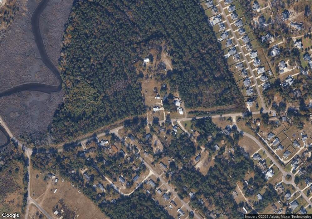
Map
- 113 Moores Landing Rd
- 100 Cove Side Ln
- 86 Delphi Trace
- 115 Halcyon Dr
- 87 Delphi Trace
- 119 Delphi Trace
- 114 Old Farm Rd
- 124 Old Farm Rd
- 143 Halcyon Dr
- 176 Zonnie Ln
- Lot 17 Redd Banks Ln
- 38 Reston Bluff
- Tract B Twin Oaks Dr
- Tract A Twin Oaks Dr
- 2520 Sloop Point Rd
- 345 Twin Oaks Dr
- 139 Moores Landing Extension
- 53 Ballast Point Rd
- 13 E Cannon Cove
- 64 Pier View Ct
- 2018 Sloop Point Rd
- 2042 Sloop Point Rd
- 2042 Sloop Point
- 2031 Sloop Point Rd
- 1978 Sloop Point Rd
- 2069 Sloop Point Rd
- 2071 Sloop Point Rd
- 101 Old Farm Rd
- 103 Moores Landing Rd
- 145 Moores Landing Rd
- 147 Moores Landing Rd
- 104 Old Farm Rd
- 114 Moores Landing Rd
- 103 Old Farm Rd
- 167 Moores Landing Rd
- 110 Moores Landing Rd
- 106 Old Farm Rd
- 105 Old Farm Rd
- 187 Moores Landing Rd
- 146 Moores Landing Rd
Ask me questions while you tour the home.