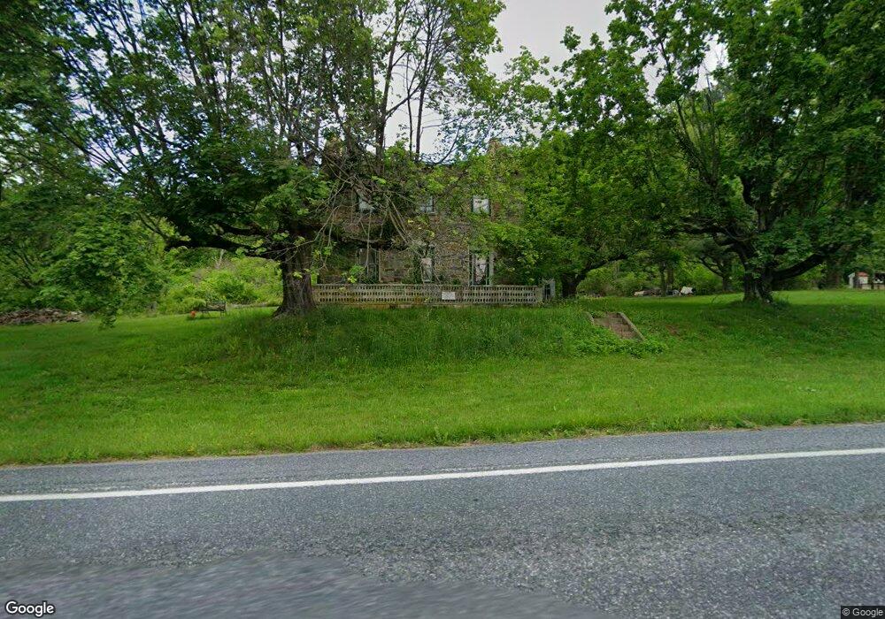
2017 State St Alburtis, PA 18011
Longswamp NeighborhoodEstimated Value: $308,000 - $604,000
4
Beds
1
Bath
2,497
Sq Ft
$160/Sq Ft
Est. Value
About This Home
This home is located at 2017 State St, Alburtis, PA 18011 and is currently estimated at $399,154, approximately $159 per square foot. 2017 State St is a home located in Berks County with nearby schools including Brandywine Heights Elementary School, Brandywine Intermediate School, and Brandywine Heights High School.
Ownership History
Date
Name
Owned For
Owner Type
Purchase Details
Closed on
Nov 14, 2014
Sold by
Miller Evelyn K
Bought by
Moll Kyle A and Moll Caitlin A
Current Estimated Value
Home Financials for this Owner
Home Financials are based on the most recent Mortgage that was taken out on this home.
Original Mortgage
$80,000
Outstanding Balance
$26,304
Interest Rate
3.29%
Mortgage Type
Purchase Money Mortgage
Estimated Equity
$372,850
Create a Home Valuation Report for This Property
The Home Valuation Report is an in-depth analysis detailing your home's value as well as a comparison with similar homes in the area
Home Values in the Area
Average Home Value in this Area
Purchase History
| Date | Buyer | Sale Price | Title Company |
|---|---|---|---|
| Moll Kyle A | $147,000 | None Available |
Source: Public Records
Mortgage History
| Date | Status | Borrower | Loan Amount |
|---|---|---|---|
| Open | Moll Kyle A | $80,000 |
Source: Public Records
Tax History Compared to Growth
Tax History
| Year | Tax Paid | Tax Assessment Tax Assessment Total Assessment is a certain percentage of the fair market value that is determined by local assessors to be the total taxable value of land and additions on the property. | Land | Improvement |
|---|---|---|---|---|
| 2025 | $920 | $76,900 | $36,900 | $40,000 |
| 2024 | $3,636 | $76,900 | $36,900 | $40,000 |
| 2023 | $3,562 | $76,900 | $36,900 | $40,000 |
| 2022 | $3,482 | $76,900 | $36,900 | $40,000 |
| 2021 | $3,456 | $76,900 | $36,900 | $40,000 |
| 2020 | $3,430 | $76,900 | $36,900 | $40,000 |
| 2019 | $5,044 | $76,900 | $36,900 | $40,000 |
| 2018 | $3,345 | $76,900 | $36,900 | $40,000 |
| 2017 | $3,285 | $76,900 | $36,900 | $40,000 |
| 2016 | $768 | $77,000 | $37,000 | $40,000 |
| 2015 | $768 | $77,000 | $37,000 | $40,000 |
| 2014 | $768 | $77,000 | $37,000 | $40,000 |
Source: Public Records
Map
Nearby Homes
- 31 Barbara Dr
- 1108 S Barbara Dr
- 3371 Mathews Ln
- 354 W 2nd St
- 241 Flint Hill Rd
- 83 Mansfield Dr
- 194 Haddon Dr
- 107 Haddon Dr
- 59 Mansfield Dr
- 146 Mountain Village Dr
- 121 S Main St Unit 123
- 428 Thomas St
- 108 E 2nd St
- 317 Lockridge Ln
- 8975 Mertztown Rd
- 4 Roth Ave
- 19 Roth Ave
- 1702 Windmill Ln
- 8312 Mertztown Rd
- 0 Chestnut St
- 2012 State St
- 2027 State St
- 1965 State St
- 2037 State St
- 1955 State St
- 1958 State St
- 1950 State St
- 160 Schlossburg St
- 3 State St
- 0 State St Unit 5480334
- 0 State St Unit 5480320
- 0 State St Unit 5480295
- 0 State St Unit 1008695006
- 2071 State St
- 1945 State St
- 10 Field Ln
- 144 Schlossburg St
- 7 Field Ln
- 1942 State St
- 1941 State St