Estimated Value: $208,879 - $391,000
--
Bed
--
Bath
1,040
Sq Ft
$286/Sq Ft
Est. Value
About This Home
This home is located at 2017 Us Highway 321 S, York, SC 29745 and is currently estimated at $297,293, approximately $285 per square foot. 2017 Us Highway 321 S is a home located in York County with nearby schools including Cotton Belt Elementary School, York Middle School, and York Intermediate School.
Ownership History
Date
Name
Owned For
Owner Type
Purchase Details
Closed on
Jul 22, 2025
Sold by
Stacy Robert Eugene
Bought by
Koon Linda Stacy and Koon Stacy Elizabeth
Current Estimated Value
Purchase Details
Closed on
May 6, 2014
Sold by
The Estate House Llc
Bought by
Stacy Robert E
Purchase Details
Closed on
Sep 16, 2010
Sold by
Koon Linda Stacy and Perry William M
Bought by
The Estate House Llc
Purchase Details
Closed on
Sep 9, 2010
Sold by
Stacy Louis O and Koon Linda Stacy
Bought by
Koon Linda Stacy and Perry William M
Create a Home Valuation Report for This Property
The Home Valuation Report is an in-depth analysis detailing your home's value as well as a comparison with similar homes in the area
Home Values in the Area
Average Home Value in this Area
Purchase History
| Date | Buyer | Sale Price | Title Company |
|---|---|---|---|
| Koon Linda Stacy | -- | None Listed On Document | |
| Stacy Robert E | $65,000 | -- | |
| The Estate House Llc | -- | -- | |
| Koon Linda Stacy | -- | -- |
Source: Public Records
Tax History Compared to Growth
Tax History
| Year | Tax Paid | Tax Assessment Tax Assessment Total Assessment is a certain percentage of the fair market value that is determined by local assessors to be the total taxable value of land and additions on the property. | Land | Improvement |
|---|---|---|---|---|
| 2025 | $2,105 | $4,822 | $1,913 | $2,909 |
| 2024 | $1,808 | $4,193 | $1,326 | $2,867 |
| 2023 | $1,785 | $4,193 | $1,326 | $2,867 |
| 2022 | $1,714 | $4,193 | $1,326 | $2,867 |
| 2021 | -- | $4,193 | $1,326 | $2,867 |
| 2020 | $1,672 | $4,209 | $0 | $0 |
| 2019 | $1,513 | $3,660 | $0 | $0 |
| 2018 | $1,462 | $3,660 | $0 | $0 |
| 2017 | $1,405 | $3,660 | $0 | $0 |
| 2016 | $1,378 | $3,660 | $0 | $0 |
| 2014 | $1,319 | $3,660 | $900 | $2,760 |
| 2013 | $1,319 | $3,810 | $900 | $2,910 |
Source: Public Records
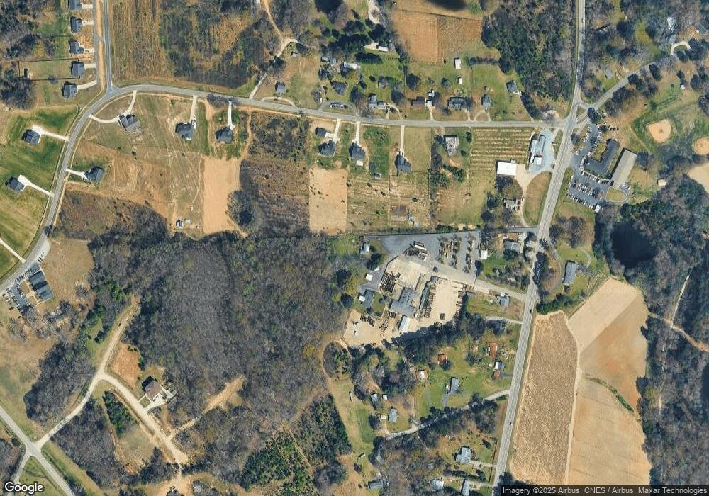
Map
Nearby Homes
- 2119 Smith Rd
- 4036 Deerstone Ln Unit 22
- 4018 Deerstone Ln Unit 24
- 3046 Meadowcrest Dr Unit 69
- 3065 Meadowcrest Dr Unit 25
- 3070 Meadowcrest Dr Unit 68
- 206 Covey Ct
- 533 Mason Dickson Rd
- 1258 Willow Grove Ln Unit 101
- 484 Mason Dickson Rd
- 484 Mason Dickson Rd Unit 3
- 1565 Autumn Ln Unit 132
- 1532 Autumn Ln Unit 120
- 1014 Willow Grove Ln
- 5019 Star Magnolia Ct
- 5212 Star Magnolia Ct
- 6265 Sanders Landing Ln Unit 6
- 1657 Springlake Rd
- 1845 State Road S-46-149
- Black Hwy
- 2025 and 2017 Filbert Hwy
- 2017 and 2025 Filbert Hwy
- 2009 Filbert Hwy
- 1308 Philbeck Rd
- 1294 Philbeck Rd Unit 3
- 1322 Philbeck Rd
- Lots 4 & 5 Philbeck Rd
- Tract 2 Philbeck Rd Unit 2
- Tract 1 Philbeck Rd Unit 1
- 1334 Tom Hope Rd
- 1240 Philbeck Rd
- 1311 Philbeck Rd
- 2029 Filbert Hwy
- 1323 Philbeck Rd
- 1997 Filbert Hwy
- 2061 Filbert Hwy
- 1999 Filbert Hwy
- 1289 Philbeck Rd
- 1346 Tom Hope Rd
- 1332 Tom Hope Rd