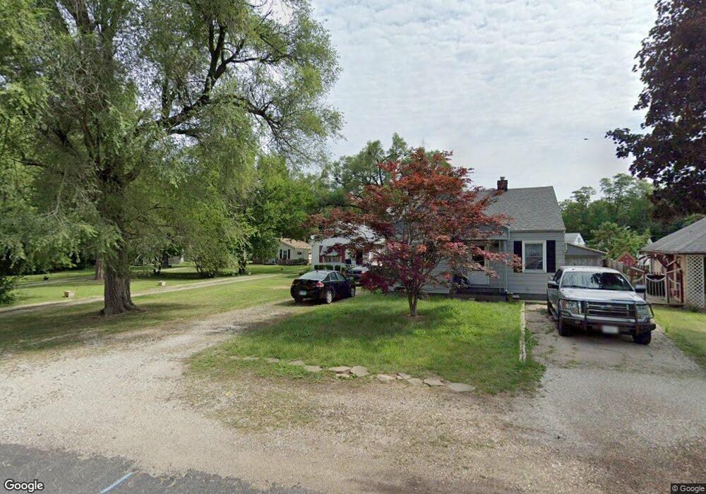
2017 W Wilson Ave Peoria, IL 61604
El Vista NeighborhoodEstimated Value: $69,000 - $90,000
2
Beds
1
Bath
630
Sq Ft
$122/Sq Ft
Est. Value
About This Home
This home is located at 2017 W Wilson Ave, Peoria, IL 61604 and is currently estimated at $76,578, approximately $121 per square foot. 2017 W Wilson Ave is a home located in Peoria County with nearby schools including Dr Maude A Sanders Primary School, Sterling Middle School, and Peoria High School.
Ownership History
Date
Name
Owned For
Owner Type
Purchase Details
Closed on
Aug 9, 2023
Sold by
Cresswell Donald D
Bought by
Cresswell Donald D and Smith Cheryl A
Current Estimated Value
Purchase Details
Closed on
Apr 7, 2021
Sold by
Edwards Ronald L
Bought by
Cresswell Donald
Purchase Details
Closed on
Jun 9, 2003
Bought by
Edwards Ron L
Create a Home Valuation Report for This Property
The Home Valuation Report is an in-depth analysis detailing your home's value as well as a comparison with similar homes in the area
Home Values in the Area
Average Home Value in this Area
Purchase History
| Date | Buyer | Sale Price | Title Company |
|---|---|---|---|
| Cresswell Donald D | -- | None Listed On Document | |
| Cresswell Donald | $21,600 | None Listed On Document | |
| Edwards Ron L | $37,000 | -- |
Source: Public Records
Tax History Compared to Growth
Tax History
| Year | Tax Paid | Tax Assessment Tax Assessment Total Assessment is a certain percentage of the fair market value that is determined by local assessors to be the total taxable value of land and additions on the property. | Land | Improvement |
|---|---|---|---|---|
| 2024 | -- | $18,500 | $4,380 | $14,120 |
| 2023 | -- | $16,970 | $4,020 | $12,950 |
| 2022 | $0 | $16,040 | $3,840 | $12,200 |
| 2021 | $506 | $15,280 | $3,660 | $11,620 |
| 2020 | $1,515 | $15,120 | $3,620 | $11,500 |
| 2019 | $1,536 | $15,420 | $3,690 | $11,730 |
| 2018 | $1,544 | $15,850 | $3,720 | $12,130 |
| 2017 | $1,532 | $16,010 | $3,760 | $12,250 |
| 2016 | $1,501 | $16,010 | $3,760 | $12,250 |
| 2015 | $1,489 | $15,700 | $3,690 | $12,010 |
| 2014 | $1,489 | $16,180 | $3,510 | $12,670 |
| 2013 | -- | $16,370 | $3,550 | $12,820 |
Source: Public Records
Map
Nearby Homes
- 2011 W Richwoods Blvd
- 2036 W Richwoods Blvd
- 3720 N Saint Michael Ave
- 2221 W Tripp Ave
- 2029 W Forrest Hill Ave
- 3423 N El Vista Ave
- 2318 W Albany Ave
- 2315 W Hudson St
- 2214 W Bainter Ln
- 3623 N Sterling Ave Unit b-17
- 2822 N Easton Place
- 2909 N Mission Rd
- 1721 W Gilbert Ave
- 2705 W Millbrook Ct
- 4011 N Sterling Ave
- 1413 W Aire Ave
- 2703 N Golf Dr
- 4212 N Keenland Ave
- 2214 W Arrowhead Ln
- 4023 N University St
- 2019 W Wilson Ave
- 2015 W Wilson Ave
- 2013 W Wilson Ave
- 2021 W Wilson Ave
- 2011 W Wilson Ave
- 3421 N Western Ave
- 3417 N Western Ave
- 3427 N Western Ave
- 2016 W Wilson Ave
- 3411 N Western Ave
- 2009 W Wilson Ave
- 2005 W Wilson Ave
- 2005 W Richwoods Blvd
- 3407 N Western Ave
- 2027 W Wilson Ave
- 2007 W Richwoods Blvd
- 2026 W Wilson Ave
- 3403 N Western Ave
- 2028 W Wilson Ave
- 2029 W Wilson Ave