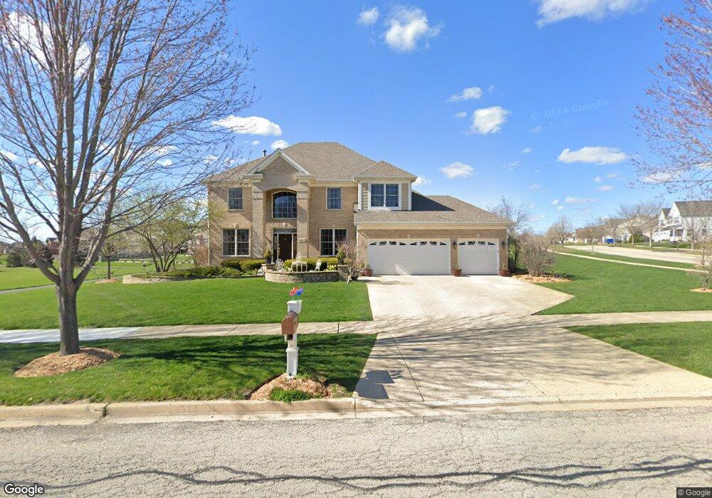
2017 Westover Rd North Aurora, IL 60542
Nelson Lake NeighborhoodEstimated Value: $584,000 - $658,000
4
Beds
5
Baths
3,600
Sq Ft
$177/Sq Ft
Est. Value
About This Home
This home is located at 2017 Westover Rd, North Aurora, IL 60542 and is currently estimated at $637,266, approximately $177 per square foot. 2017 Westover Rd is a home located in Kane County with nearby schools including Fearn Elementary School, Herget Middle School, and West Aurora High School.
Ownership History
Date
Name
Owned For
Owner Type
Purchase Details
Closed on
Feb 2, 2012
Sold by
Mtglq Investors Lp
Bought by
Holden Leslie E
Current Estimated Value
Home Financials for this Owner
Home Financials are based on the most recent Mortgage that was taken out on this home.
Original Mortgage
$197,600
Outstanding Balance
$136,153
Interest Rate
4.01%
Mortgage Type
New Conventional
Estimated Equity
$501,113
Purchase Details
Closed on
Oct 20, 2011
Sold by
Lindsay Byron T
Bought by
Mtglq Investors L P
Purchase Details
Closed on
Aug 2, 2004
Sold by
Wiseman Hughes Enterprises Inc
Bought by
Lindsay Bryon T
Home Financials for this Owner
Home Financials are based on the most recent Mortgage that was taken out on this home.
Original Mortgage
$478,274
Interest Rate
6.5%
Mortgage Type
Purchase Money Mortgage
Create a Home Valuation Report for This Property
The Home Valuation Report is an in-depth analysis detailing your home's value as well as a comparison with similar homes in the area
Home Values in the Area
Average Home Value in this Area
Purchase History
| Date | Buyer | Sale Price | Title Company |
|---|---|---|---|
| Holden Leslie E | $247,000 | Fidelity National Title | |
| Mtglq Investors L P | -- | None Available | |
| Lindsay Bryon T | $531,500 | Multiple |
Source: Public Records
Mortgage History
| Date | Status | Borrower | Loan Amount |
|---|---|---|---|
| Open | Holden Leslie E | $197,600 | |
| Previous Owner | Lindsay Bryon T | $478,274 |
Source: Public Records
Tax History Compared to Growth
Tax History
| Year | Tax Paid | Tax Assessment Tax Assessment Total Assessment is a certain percentage of the fair market value that is determined by local assessors to be the total taxable value of land and additions on the property. | Land | Improvement |
|---|---|---|---|---|
| 2024 | $12,668 | $181,702 | $28,710 | $152,992 |
| 2023 | $12,309 | $164,913 | $26,057 | $138,856 |
| 2022 | $12,004 | $154,124 | $24,352 | $129,772 |
| 2021 | $12,080 | $146,173 | $23,096 | $123,077 |
| 2020 | $12,009 | $143,363 | $22,652 | $120,711 |
| 2019 | $12,107 | $138,288 | $21,850 | $116,438 |
| 2018 | $12,023 | $133,021 | $21,018 | $112,003 |
| 2017 | $11,983 | $128,635 | $20,325 | $108,310 |
| 2016 | $11,934 | $124,888 | $19,733 | $105,155 |
| 2015 | -- | $122,045 | $19,284 | $102,761 |
| 2014 | -- | $135,766 | $18,677 | $117,089 |
| 2013 | -- | $133,117 | $18,313 | $114,804 |
Source: Public Records
Map
Nearby Homes
- 2045 Bartram Rd
- 921 N Deerpath Rd
- 868 Fair Meadow Ct
- 876 Fair Meadow Ct
- 867 Fair Meadow Ct
- 875 Fair Meadow Ct
- 916 Fair Meadow St
- 909 Fair Meadow St
- 917 Fair Meadow St
- Maxfield Plan at Autumn Ridge
- Morgan Plan at Autumn Ridge
- Newbury Plan at Autumn Ridge
- Quinn Plan at Autumn Ridge
- Paxton Plan at Autumn Ridge
- Leyden Plan at Autumn Ridge
- 1799 Breton Ave
- 1679 Patterson Ave
- 1663 Patterson Ave
- 1655 Patterson Ave
- 512 Bennett Dr
- 2006 Rockwood Ln
- 2014 Rockwood Ln
- 2033 Westover Rd
- 913 Mirador Dr
- 2016 Westover Rd
- 2022 Rockwood Ln
- 2008 Westover Rd
- 921 Mirador Dr
- 2041 Westover Rd
- 2000 Westover Rd
- 890 Stratford Dr
- 2030 Rockwood Ln
- 929 Mirador Dr
- 2007 Rockwood Ln
- 2015 Rockwood Ln
- 882 Stratford Dr
- 900 N Deerpath Rd
- 2049 Westover Rd
- 883 Stratford Dr
- 2038 Rockwood Ln