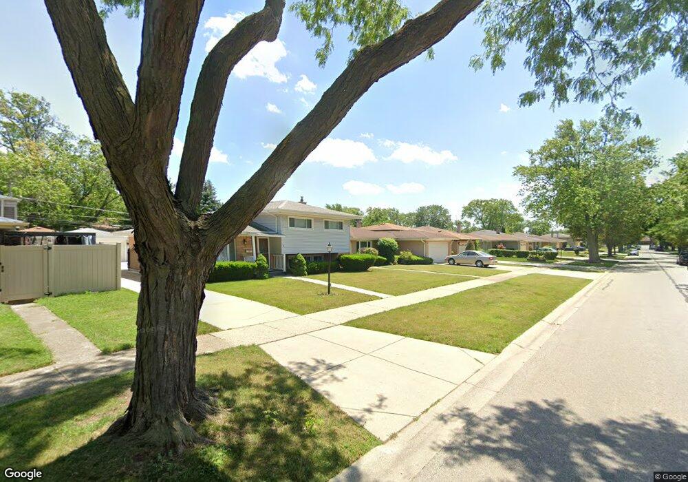
2017 Westview Dr Des Plaines, IL 60018
Des Plaines AreaEstimated Value: $421,000 - $468,000
About This Home
This home is located at 2017 Westview Dr, Des Plaines, IL 60018 and is currently estimated at $449,034, approximately $343 per square foot. 2017 Westview Dr is a home located in Cook County with nearby schools including Plainfield Elementary School, Algonquin Middle School, and Maine West High School.
Ownership History
We collect this data history from publicly available records. To have your information removed, we recommend requesting removal directly through your county’s website.
Purchase Details
Home Financials for this Owner
Home Financials are based on the most recent Mortgage that was taken out on this home.Purchase Details
Home Values in the Area
Average Home Value in this Area
Purchase History
We collect this data history from publicly available records. To have your information removed, we recommend requesting removal directly through your county’s website.
| Date | Buyer | Sale Price | Title Company |
|---|---|---|---|
| $219,000 | -- | ||
| -- | -- |
Mortgage History
We collect this data history from publicly available records. To have your information removed, we recommend requesting removal directly through your county’s website.
| Date | Status | Borrower | Loan Amount |
|---|---|---|---|
| Closed | $119,000 |
Tax History
We collect this data history from publicly available records. To have your information removed, we recommend requesting removal directly through your county’s website.
| Year | Tax Paid | Tax Assessment Tax Assessment Total Assessment is a certain percentage of the fair market value that is determined by local assessors to be the total taxable value of land and additions on the property. | Land | Improvement |
|---|---|---|---|---|
| 2025 | $6,852 | $40,000 | $8,400 | $31,600 |
| 2024 | $6,852 | $31,957 | $7,000 | $24,957 |
| 2023 | $7,343 | $31,957 | $7,000 | $24,957 |
| 2022 | $7,343 | $31,957 | $7,000 | $24,957 |
| 2021 | $6,301 | $23,828 | $4,550 | $19,278 |
| 2020 | $6,263 | $23,828 | $4,550 | $19,278 |
| 2019 | $6,282 | $26,773 | $4,550 | $22,223 |
| 2018 | $5,979 | $23,429 | $4,025 | $19,404 |
| 2017 | $5,891 | $23,429 | $4,025 | $19,404 |
| 2016 | $5,817 | $23,429 | $4,025 | $19,404 |
| 2015 | $5,460 | $20,684 | $3,500 | $17,184 |
| 2014 | $5,361 | $20,684 | $3,500 | $17,184 |
| 2013 | $5,210 | $20,684 | $3,500 | $17,184 |
Map
- 2001 Plainfield Dr
- 2125 Plainfield Dr
- 616 Birchwood Ave
- 1920 Koehler Dr
- 614 Birchwood Ave
- 1830 Dexter Ln
- 800 E Touhy Ave
- 1914 Lee St
- 2196 Spruce Ave
- 1645 Webster Ln
- 1370 Fargo Ave Unit E
- 1717 Mannheim Rd
- 1678 Ash St
- 1469 Webster Ln
- 1596 Oxford Rd
- 1446 Everett Ave
- 1953 Illinois St
- 505 Forest Ave
- 1610 Stockton Ave
- 1509 Center St
- 2024 Plainfield Dr
- 2016 Plainfield Dr
- 2032 Plainfield Dr
- 2008 Plainfield Dr
- 2040 Plainfield Dr
- 2025 Westview Dr
- 2033 Westview Dr
- 2009 Westview Dr Unit 1
- 2048 Plainfield Dr
- 2041 Westview Dr
- 2000 Plainfield Dr
- 2033 Plainfield Dr
- 2017 Plainfield Dr
- 2001 Westview Dr
- 2049 Westview Dr
- 2041 Plainfield Dr
- 2009 Plainfield Dr
- 2056 Plainfield Dr
- 2049 Plainfield Dr
- 2057 Westview Dr Unit 1
Ask me questions while you tour the home.