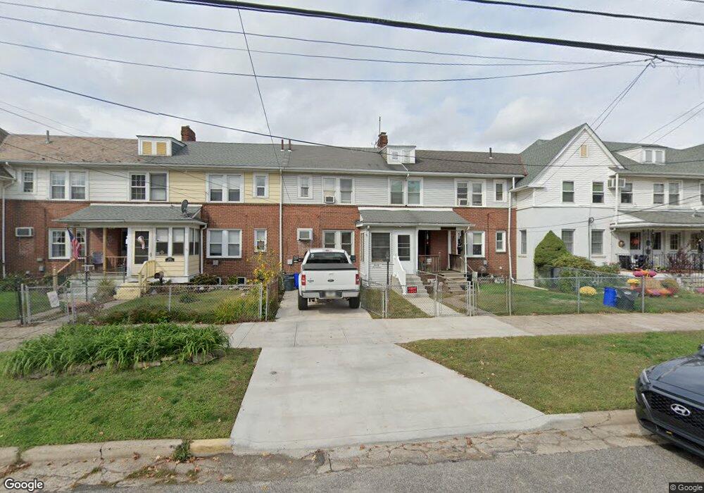
2017 Wilson Ave Bristol, PA 19007
Estimated Value: $253,000 - $310,000
--
Bed
1
Bath
1,280
Sq Ft
$222/Sq Ft
Est. Value
About This Home
This home is located at 2017 Wilson Ave, Bristol, PA 19007 and is currently estimated at $283,924, approximately $221 per square foot. 2017 Wilson Ave is a home located in Bucks County with nearby schools including Snyder-Girotti Elementary School, Bristol High School, and First Presbyterian Church School.
Ownership History
Date
Name
Owned For
Owner Type
Purchase Details
Closed on
Jun 28, 1999
Sold by
Wolfenson Jeffrey H
Bought by
Gaittens Richard W
Current Estimated Value
Home Financials for this Owner
Home Financials are based on the most recent Mortgage that was taken out on this home.
Original Mortgage
$73,150
Outstanding Balance
$20,215
Interest Rate
7.39%
Estimated Equity
$263,709
Purchase Details
Closed on
Jun 5, 1990
Bought by
Wolfenson Jeffrey H
Create a Home Valuation Report for This Property
The Home Valuation Report is an in-depth analysis detailing your home's value as well as a comparison with similar homes in the area
Home Values in the Area
Average Home Value in this Area
Purchase History
| Date | Buyer | Sale Price | Title Company |
|---|---|---|---|
| Gaittens Richard W | $77,000 | -- | |
| Wolfenson Jeffrey H | $79,500 | -- |
Source: Public Records
Mortgage History
| Date | Status | Borrower | Loan Amount |
|---|---|---|---|
| Open | Gaittens Richard W | $73,150 |
Source: Public Records
Tax History Compared to Growth
Tax History
| Year | Tax Paid | Tax Assessment Tax Assessment Total Assessment is a certain percentage of the fair market value that is determined by local assessors to be the total taxable value of land and additions on the property. | Land | Improvement |
|---|---|---|---|---|
| 2025 | $3,539 | $15,200 | $3,680 | $11,520 |
| 2024 | $3,539 | $15,200 | $3,680 | $11,520 |
| 2023 | $3,509 | $15,200 | $3,680 | $11,520 |
| 2022 | $3,509 | $15,200 | $3,680 | $11,520 |
| 2021 | $3,509 | $15,200 | $3,680 | $11,520 |
| 2020 | $3,608 | $15,200 | $3,680 | $11,520 |
| 2019 | $4,216 | $15,200 | $3,680 | $11,520 |
| 2018 | $3,592 | $15,200 | $3,680 | $11,520 |
| 2017 | $3,573 | $15,200 | $3,680 | $11,520 |
| 2016 | $3,573 | $15,200 | $3,680 | $11,520 |
| 2015 | -- | $15,200 | $3,680 | $11,520 |
| 2014 | -- | $15,200 | $3,680 | $11,520 |
Source: Public Records
Map
Nearby Homes
- 221 Cleveland St
- 321 Taft St
- 314 Railroad Ave
- 61 Green Ln
- 243 Monroe St
- 2285 Seabird Dr Unit 14
- 2296 Seabird Dr Unit 1
- 16434 River View Cir
- 16442 River View Cir
- 16422 River View Cir
- 16352 River View Cir
- 16242 River View Cir
- 16344 River View Cir
- 16342 River View Cir
- 16322 River View Cir
- 16332 River View Cir
- 16131 River View Cir
- 16241 River View Cir
- 16232 River View Cir
- 16251 River View Cir
- 2015 Wilson Ave
- 2009 Wilson Ave
- 2005 Wilson Ave
- 311 Hayes St
- 2023 Wilson Ave
- 2027 Wilson Ave Unit 2
- 2025 Wilson Ave Unit 1
- 2025 Wilson Ave
- 2001 Wilson Ave
- 317 Hayes St
- 312 Cleveland St
- 2031 Wilson Ave
- 316 Cleveland St
- 322 Cleveland St
- 321 Hayes St
- 327 Hayes St
- 328 Cleveland St
- 1929 Wilson Ave
- 0 Wilson Ave
- 330 Cleveland St