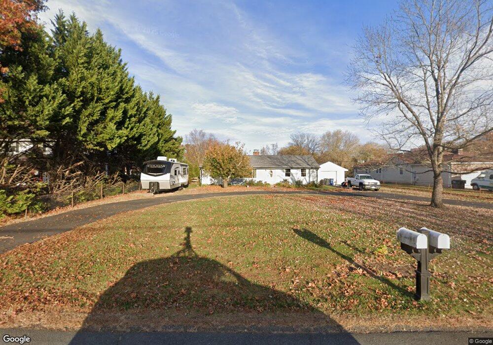
20172 Broad Run Dr Sterling, VA 20165
Estimated Value: $650,000 - $886,000
3
Beds
2
Baths
1,920
Sq Ft
$390/Sq Ft
Est. Value
About This Home
This home is located at 20172 Broad Run Dr, Sterling, VA 20165 and is currently estimated at $749,447, approximately $390 per square foot. 20172 Broad Run Dr is a home located in Loudoun County with nearby schools including Countryside Elementary School, River Bend Middle School, and Potomac Falls High School.
Ownership History
Date
Name
Owned For
Owner Type
Purchase Details
Closed on
Sep 16, 2022
Sold by
Glasscock Richard D
Bought by
Glosson William and Glosson Colleen M
Current Estimated Value
Home Financials for this Owner
Home Financials are based on the most recent Mortgage that was taken out on this home.
Original Mortgage
$535,500
Outstanding Balance
$510,523
Interest Rate
4.99%
Mortgage Type
New Conventional
Estimated Equity
$238,924
Purchase Details
Closed on
Oct 23, 2002
Sold by
Glasscock Richard L
Bought by
Glasscock Richard D
Home Financials for this Owner
Home Financials are based on the most recent Mortgage that was taken out on this home.
Original Mortgage
$144,000
Interest Rate
6.2%
Create a Home Valuation Report for This Property
The Home Valuation Report is an in-depth analysis detailing your home's value as well as a comparison with similar homes in the area
Home Values in the Area
Average Home Value in this Area
Purchase History
| Date | Buyer | Sale Price | Title Company |
|---|---|---|---|
| Glosson William | $630,000 | -- | |
| Glasscock Richard D | $180,000 | -- |
Source: Public Records
Mortgage History
| Date | Status | Borrower | Loan Amount |
|---|---|---|---|
| Open | Glosson William | $535,500 | |
| Previous Owner | Glasscock Richard D | $144,000 |
Source: Public Records
Tax History Compared to Growth
Tax History
| Year | Tax Paid | Tax Assessment Tax Assessment Total Assessment is a certain percentage of the fair market value that is determined by local assessors to be the total taxable value of land and additions on the property. | Land | Improvement |
|---|---|---|---|---|
| 2025 | $5,598 | $695,460 | $315,700 | $379,760 |
| 2024 | $5,387 | $622,810 | $315,700 | $307,110 |
| 2023 | $5,471 | $625,310 | $280,700 | $344,610 |
| 2022 | $4,926 | $553,440 | $260,700 | $292,740 |
| 2021 | $5,297 | $540,460 | $260,700 | $279,760 |
| 2020 | $5,031 | $486,120 | $260,700 | $225,420 |
| 2019 | $4,873 | $466,270 | $245,700 | $220,570 |
| 2018 | $4,566 | $420,850 | $193,500 | $227,350 |
| 2017 | $4,408 | $391,780 | $193,500 | $198,280 |
| 2016 | $4,545 | $396,910 | $0 | $0 |
| 2015 | $4,352 | $189,970 | $0 | $189,970 |
| 2014 | $4,395 | $187,030 | $0 | $187,030 |
Source: Public Records
Map
Nearby Homes
- 20150 Dairy Ln
- 45070 Brae Terrace Unit 202
- 20311 Beechwood Terrace Unit 101
- 20320 Beechwood Terrace Unit 202
- 54 Huntley Ct
- 20190 Bar Harbor Terrace
- 19955 Youngs Cliff Rd
- 20198 Brookview Square
- 47 Quincy Ct
- 45545 Lakeside Dr
- 34 Dorrell Ct
- 45550 Lakeside Dr
- 34 Palmer Ct
- 6 Oakdale Ct
- 21 Haxall Ct
- 4 Bentley Dr
- 30 Bentley Dr
- 19893 Upland Terrace
- 45518 Lakemont Square
- 13 Braxton Dr
- 20176 Broad Run Dr
- 20158 Broad Run Dr
- 20184 Broad Run Dr
- 20152 Broad Run Dr
- 20149 Dairy Ln
- 20161 Dairy Ln
- 20141 Dairy Ln
- 20194 Broad Run Dr
- 20142 Broad Run Dr
- 20165 Broad Run Dr
- 20173 Broad Run Dr
- 20167 Dairy Ln
- 20131 Dairy Ln
- 20153 Broad Run Dr
- 20173 Dairy Ln
- 20127 Dairy Ln
- 20193 Broad Run Dr
- 20208 Broad Run Dr
- 20136 Broad Run Dr
- 20149 Broad Run Dr