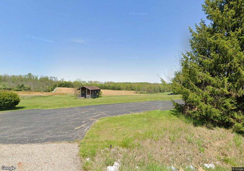
20175 Coshocton Rd Mount Vernon, OH 43050
Estimated Value: $409,390 - $511,000
3
Beds
2
Baths
2,244
Sq Ft
$201/Sq Ft
Est. Value
About This Home
This home is located at 20175 Coshocton Rd, Mount Vernon, OH 43050 and is currently estimated at $451,098, approximately $201 per square foot. 20175 Coshocton Rd is a home with nearby schools including East Knox Elementary School and East Knox High School.
Ownership History
Date
Name
Owned For
Owner Type
Purchase Details
Closed on
Jun 11, 2004
Sold by
Woods Daniel E and Woods Camalia
Bought by
Palmer Daniel G
Current Estimated Value
Purchase Details
Closed on
May 5, 1998
Sold by
Woods Darwin E and Woods Diana L
Bought by
Woods Daniel E and Woods Camalia
Purchase Details
Closed on
Aug 16, 1989
Sold by
Wasserman Deborah B and Wasserman Jam
Bought by
Woods Darwin E and Woods Diana L
Create a Home Valuation Report for This Property
The Home Valuation Report is an in-depth analysis detailing your home's value as well as a comparison with similar homes in the area
Purchase History
| Date | Buyer | Sale Price | Title Company |
|---|---|---|---|
| Palmer Daniel G | $240,000 | -- | |
| Woods Daniel E | $200,000 | -- | |
| Woods Darwin E | $15,000 | -- |
Source: Public Records
Tax History
| Year | Tax Paid | Tax Assessment Tax Assessment Total Assessment is a certain percentage of the fair market value that is determined by local assessors to be the total taxable value of land and additions on the property. | Land | Improvement |
|---|---|---|---|---|
| 2024 | $4,443 | $109,640 | $16,290 | $93,350 |
| 2023 | $4,483 | $109,640 | $16,290 | $93,350 |
| 2022 | $3,993 | $87,710 | $13,030 | $74,680 |
| 2021 | $3,993 | $87,710 | $13,030 | $74,680 |
| 2020 | $3,944 | $87,710 | $13,030 | $74,680 |
| 2019 | $4,101 | $84,130 | $11,990 | $72,140 |
| 2018 | $3,841 | $84,130 | $11,990 | $72,140 |
| 2017 | $3,807 | $84,130 | $11,990 | $72,140 |
| 2016 | $3,364 | $73,160 | $10,430 | $62,730 |
| 2015 | $3,063 | $73,160 | $10,430 | $62,730 |
| 2014 | $3,068 | $73,160 | $10,430 | $62,730 |
| 2013 | $3,178 | $73,990 | $10,430 | $63,560 |
Source: Public Records
Map
Nearby Homes
- 20561 Canada Rd
- 11 Crabtree Ct
- 50 Orchard Hills Ct
- 0 Mcintosh Ct Unit 20250846
- 0 Mcintosh Ct Unit LOT 321
- 21311 Coshocton Rd
- 00 Grant Rd
- 0 Grant Rd Unit 9072637
- 0 Grant Rd Unit 230893
- 01 Grant Rd Rear
- 00 Grant Rd
- 12651 Grant Rd
- 839 Winesap Cir
- 839 Winesap Cir Unit 186 AV
- 0 Crabapple Dr Unit 226006311
- 368 Baldwin Dr
- 63 Appleseed Ct
- 60 Appleseed Ct
- 770 Winesap Cir
- 14120 Monroe Mills Rd
- 20203 Coshocton Rd
- 19980 Coshocton Rd
- 20354 Coshocton Rd
- 20101 Coshocton Rd
- 20426 Coshocton Rd
- 20426 Coshocton Rd
- 19889 Coshocton Rd
- 19820 Coshocton Rd
- 20462 Coshocton Rd
- 19740 Coshocton Rd
- 19720 Coshocton Rd
- 19607 Coshocton Rd
- 19560 Coshocton Rd
- 19551 Coshocton Rd
- 19540 Coshocton Rd
- 12040 Depolo Rd N
- 20490 Cornish Rd
- 20413 Cornish Rd
- 20413 Cornish Rd
Your Personal Tour Guide
Ask me questions while you tour the home.