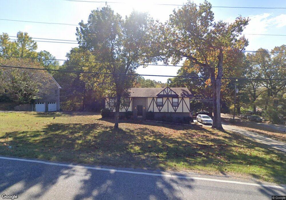
2018 1st Ave W Maylene, AL 35114
Estimated Value: $250,700 - $271,000
Studio
1
Bath
1,260
Sq Ft
$206/Sq Ft
Est. Value
About This Home
This home is located at 2018 1st Ave W, Maylene, AL 35114 and is currently estimated at $259,175, approximately $205 per square foot. 2018 1st Ave W is a home located in Shelby County with nearby schools including Thompson Intermediate School, Thompson Middle School, and Thompson High School.
Ownership History
Date
Name
Owned For
Owner Type
Purchase Details
Closed on
Jul 23, 2025
Sold by
Jones Mary Voncille and Smith Mary Beth
Bought by
Cellitti Moises
Current Estimated Value
Home Financials for this Owner
Home Financials are based on the most recent Mortgage that was taken out on this home.
Original Mortgage
$85,000
Outstanding Balance
$84,412
Interest Rate
5.97%
Mortgage Type
New Conventional
Estimated Equity
$174,763
Purchase Details
Closed on
Mar 31, 2022
Sold by
Thatenhurst Roddam Cyntha
Bought by
Swimelar Brittany Rich and Swimelar Kevin Michael
Home Financials for this Owner
Home Financials are based on the most recent Mortgage that was taken out on this home.
Original Mortgage
$180,000
Interest Rate
4.16%
Mortgage Type
Balloon
Purchase Details
Closed on
Aug 6, 2015
Sold by
Thatenhurst King D and Thatenhurst Patricia A
Bought by
Thatenhurst Roddam Cynthia
Create a Home Valuation Report for This Property
The Home Valuation Report is an in-depth analysis detailing your home's value as well as a comparison with similar homes in the area
Home Values in the Area
Average Home Value in this Area
Purchase History
| Date | Buyer | Sale Price | Title Company |
|---|---|---|---|
| Cellitti Moises | $125,000 | None Listed On Document | |
| Swimelar Brittany Rich | $225,000 | -- | |
| Thatenhurst Roddam Cynthia | $37,500 | None Available |
Source: Public Records
Mortgage History
| Date | Status | Borrower | Loan Amount |
|---|---|---|---|
| Open | Cellitti Moises | $85,000 | |
| Previous Owner | Swimelar Brittany Rich | $180,000 |
Source: Public Records
Tax History
| Year | Tax Paid | Tax Assessment Tax Assessment Total Assessment is a certain percentage of the fair market value that is determined by local assessors to be the total taxable value of land and additions on the property. | Land | Improvement |
|---|---|---|---|---|
| 2024 | $1,160 | $21,480 | $0 | $0 |
| 2023 | $1,096 | $20,300 | $0 | $0 |
| 2022 | $0 | $16,800 | $0 | $0 |
| 2021 | $0 | $14,940 | $0 | $0 |
| 2020 | $0 | $13,020 | $0 | $0 |
| 2019 | $0 | $12,480 | $0 | $0 |
| 2017 | $0 | $11,540 | $0 | $0 |
| 2015 | -- | $11,140 | $0 | $0 |
| 2014 | -- | $10,900 | $0 | $0 |
Source: Public Records
Map
Nearby Homes
- 2001 1st Ave W
- 124 Kingsley Rd
- 109 Kingsley Cir
- 120 Mayfair Park
- 306 Mayfair Cir
- 208 Queens Gate
- 542 Navajo Trail
- 501 Ramsgate Dr
- 236 Queens Gate
- 537 Ramsgate Dr
- 1349 Old Boston Rd
- 920 Independence Dr
- 544 Ramsgate Dr
- 309 Cedar Grove Ct
- 305 Cedar Grove Ct
- 1317 Old Boston Rd
- 545 Ramsgate Dr
- 174 Cedar Grove Pkwy
- 549 Ramsgate Dr
- 280 Cedar Grove Pkwy
- 2016 1st Ave W
- 2020 1st Ave W
- 2014 1st Ave W
- 245 Cedar Meadow
- 2022 1st Ave W
- 209 Stoney Trail
- 205 Stoney Trail Unit 13
- 205 Stoney Trail
- 247 Cedar Meadow
- 217 Stoney Trail
- 243 Cedar Meadow
- 201 Stoney Trail Unit 14
- 201 Stoney Trail
- 101 Kingsley Ct
- 2012 1st Ave W
- 221 Stoney Trail Unit 9
- 221 Stoney Trail
- 2024 1st Ave W
- 105 Kingsley Ct
- 225 Stoney Trail Unit 8
Your Personal Tour Guide
Ask me questions while you tour the home.