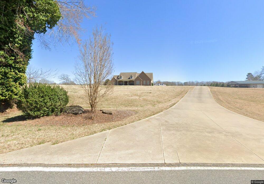
2018 Albert Blanton Rd Shelby, NC 28152
Estimated Value: $762,000 - $1,047,000
--
Bed
--
Bath
2,677
Sq Ft
$336/Sq Ft
Est. Value
About This Home
This home is located at 2018 Albert Blanton Rd, Shelby, NC 28152 and is currently estimated at $898,873, approximately $335 per square foot. 2018 Albert Blanton Rd is a home located in Cleveland County with nearby schools including Springmore Elementary School, Crest Middle School, and Crest High School.
Ownership History
Date
Name
Owned For
Owner Type
Purchase Details
Closed on
Jun 27, 2016
Sold by
Dacus Michael Harold and Dacus Jennifer
Bought by
Aureliano Giovanni and Aureliano Catherine
Current Estimated Value
Purchase Details
Closed on
Jun 19, 2007
Sold by
Dacus Michael Harold
Bought by
Dacus Michael Harold
Purchase Details
Closed on
Apr 2, 2007
Sold by
Rogers Charles L
Bought by
Dacus Micheal Harold
Create a Home Valuation Report for This Property
The Home Valuation Report is an in-depth analysis detailing your home's value as well as a comparison with similar homes in the area
Home Values in the Area
Average Home Value in this Area
Purchase History
| Date | Buyer | Sale Price | Title Company |
|---|---|---|---|
| Aureliano Giovanni | $516,000 | None Available | |
| Dacus Michael Harold | -- | None Available | |
| Dacus Micheal Harold | $48,000 | None Available |
Source: Public Records
Tax History Compared to Growth
Tax History
| Year | Tax Paid | Tax Assessment Tax Assessment Total Assessment is a certain percentage of the fair market value that is determined by local assessors to be the total taxable value of land and additions on the property. | Land | Improvement |
|---|---|---|---|---|
| 2025 | $4,825 | $759,915 | $118,995 | $640,920 |
| 2024 | $5,038 | $623,599 | $94,716 | $528,883 |
| 2023 | $4,813 | $623,599 | $94,716 | $528,883 |
| 2022 | $5,013 | $623,599 | $94,716 | $528,883 |
| 2021 | $5,036 | $623,599 | $94,716 | $528,883 |
| 2020 | $4,754 | $565,590 | $94,716 | $470,874 |
| 2019 | $4,754 | $565,590 | $94,716 | $470,874 |
| 2018 | $4,750 | $565,590 | $94,716 | $470,874 |
| 2017 | $4,726 | $565,590 | $94,716 | $470,874 |
| 2016 | $4,530 | $565,590 | $94,716 | $470,874 |
| 2015 | $3,952 | $492,344 | $83,238 | $409,106 |
| 2014 | $3,952 | $492,344 | $83,238 | $409,106 |
Source: Public Records
Map
Nearby Homes
- 1313 Dockery Dr Unit 1
- 1311 Dockery Dr
- 000 Hubbard Terrace
- 00 Charles Rd
- 507 Poplar Springs Church Rd
- 1408 Lackey St
- 712 Maynard St
- 814 Rhodann Dr
- 3024 Downing St Unit 18A
- 3024 Downing St Unit 19A
- 3121 Suffolk Dr
- 308 James Love School Rd
- 1303 Hunt St
- 800 Charles Rd
- 697 Branton Dr
- 2305 Berwick Rd
- 602 Charles Rd
- 112 Holly Hill Rd
- 2924 Poplar Cir
- 206 College Ave
- 2015 Albert Blanton Rd
- 1940 Wesson Rd
- 2024 Albert Blanton Rd
- 2024 Albert Blanton Rd
- 2019 Albert Blanton Rd
- 1939 Wesson Rd Unit 1
- 1906 Wesson Rd
- 2100 Albert Blanton Rd
- 131 Alma Ln
- 1900 Wesson Rd
- 137 Alma Ln
- 611 Ronald Dr
- 1702 Wesson Rd
- 1700 Wesson Rd
- 1700 Wesson Rd
- 1709 Wesson Rd
- 1701 Wesson Rd
- 2028 Wesson Rd
- 2141 Albert Blanton Rd
- 2122 Manley Bridges Rd