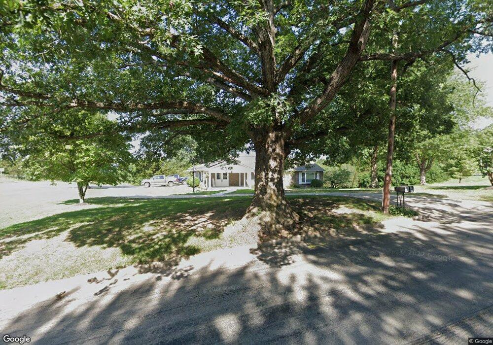
2018 Bald Hill Rd Jefferson City, MO 65101
Estimated Value: $264,000 - $324,000
3
Beds
2
Baths
2,070
Sq Ft
$140/Sq Ft
Est. Value
About This Home
This home is located at 2018 Bald Hill Rd, Jefferson City, MO 65101 and is currently estimated at $290,404, approximately $140 per square foot. 2018 Bald Hill Rd is a home located in Cole County with nearby schools including Moreau Heights Elementary School, Lewis & Clark Middle School, and Jefferson City High School.
Ownership History
Date
Name
Owned For
Owner Type
Purchase Details
Closed on
May 13, 2022
Sold by
Wildhaber Jr Kenneth V and Wildhaber Diane E
Bought by
Schnieders Jason T and Schnieders Kerry A
Current Estimated Value
Home Financials for this Owner
Home Financials are based on the most recent Mortgage that was taken out on this home.
Original Mortgage
$280,234
Outstanding Balance
$266,335
Interest Rate
5.3%
Mortgage Type
New Conventional
Estimated Equity
$24,069
Create a Home Valuation Report for This Property
The Home Valuation Report is an in-depth analysis detailing your home's value as well as a comparison with similar homes in the area
Home Values in the Area
Average Home Value in this Area
Purchase History
| Date | Buyer | Sale Price | Title Company |
|---|---|---|---|
| Schnieders Jason T | -- | None Listed On Document |
Source: Public Records
Mortgage History
| Date | Status | Borrower | Loan Amount |
|---|---|---|---|
| Open | Schnieders Jason T | $280,234 |
Source: Public Records
Tax History Compared to Growth
Tax History
| Year | Tax Paid | Tax Assessment Tax Assessment Total Assessment is a certain percentage of the fair market value that is determined by local assessors to be the total taxable value of land and additions on the property. | Land | Improvement |
|---|---|---|---|---|
| 2025 | $2,049 | $34,360 | $3,420 | $30,940 |
| 2024 | $2,049 | $34,360 | $3,420 | $30,940 |
| 2023 | $2,049 | $34,360 | $3,420 | $30,940 |
| 2022 | $1,950 | $32,600 | $0 | $32,600 |
| 2021 | $1,961 | $32,600 | $0 | $32,600 |
| 2020 | $1,985 | $35,188 | $3,420 | $31,768 |
| 2019 | $1,930 | $33,402 | $3,420 | $29,982 |
| 2018 | $1,928 | $34,200 | $3,420 | $30,780 |
| 2017 | $1,882 | $32,604 | $3,420 | $29,184 |
| 2016 | -- | $32,604 | $3,420 | $29,184 |
| 2015 | $1,609 | $0 | $0 | $0 |
| 2014 | $1,609 | $32,604 | $3,420 | $29,184 |
Source: Public Records
Map
Nearby Homes
- 0 Eastland (Lots 338 339 340) Dr Unit 10066899
- 0 Eastland (Lot 361) Dr Unit 10065799
- 0 Schotthill Woods Dr
- 1635 Seven Hills Rd
- 425 Cedar Creek Ct
- 1820 Green Berry Rd
- 1828 Green Berry Rd
- 0 Rolling Hills Rd
- 0 Eastland Dr
- 321 Joe Ln
- 1743 Engelwood Dr
- 1422 E Miller St
- 337 David St
- 0 David St
- 1606 E Mccarty St
- 613 Houchin St
- 1233 E Dunklin St Unit A&B
- 1105 Moreau Dr
- 1114 Moreau Dr
- 1219 Cottage Ln
- 2017 Bald Hill Rd
- 2014 Bald Hill Rd
- 2013 Bald Hill Rd
- 2104 Bald Hill Rd
- 2009 Bald Hill Rd
- 2022 Brady Dr
- 2018 Brady Dr
- 2003 Bald Hill Rd
- 1951 Seven Hills Rd
- 1922 Bald Hill Rd
- 1925 Bald Hill Rd
- 1115 Eastland Dr
- 2124 Bald Hill Rd
- 2019 Brady Dr
- 2116 Bald Hill Rd
- 2006 Brady Dr
- 1923 Bald Hill Rd
- 1109 Eastland Dr
- 2119 Bald Hill Rd
- 2013 Brady Dr