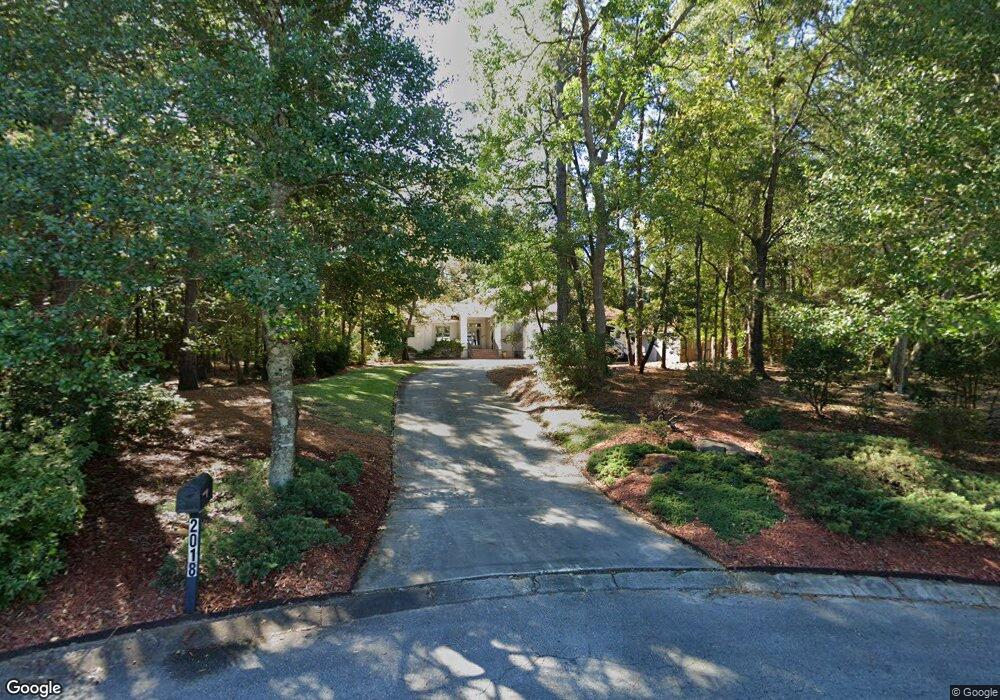
2018 Hawthorne Rd Wilmington, NC 28403
Glen Meade NeighborhoodEstimated Value: $963,000 - $1,044,000
4
Beds
4
Baths
2,895
Sq Ft
$345/Sq Ft
Est. Value
About This Home
This home is located at 2018 Hawthorne Rd, Wilmington, NC 28403 and is currently estimated at $999,262, approximately $345 per square foot. 2018 Hawthorne Rd is a home located in New Hanover County with nearby schools including Edwin A. Alderman Elementary School, Williston Middle School, and New Hanover High School.
Ownership History
Date
Name
Owned For
Owner Type
Purchase Details
Closed on
Jan 5, 1999
Sold by
Merritt Dewitt Darleen M
Bought by
Karr William M Iii Diane M
Current Estimated Value
Purchase Details
Closed on
Dec 18, 1998
Sold by
Merritt Dewitt Darleen M
Bought by
Karr William M Iii Diane M
Purchase Details
Closed on
Jul 1, 1981
Sold by
Lennon Alton Y Sheron W
Bought by
Merritt Dewitt Darleen M
Purchase Details
Closed on
Apr 1, 1981
Sold by
Merritt Dewitt Darleen M
Bought by
Lennon Alton Y Sheron W
Purchase Details
Closed on
Oct 1, 1978
Bought by
Merritt Dewitt Darleen M
Create a Home Valuation Report for This Property
The Home Valuation Report is an in-depth analysis detailing your home's value as well as a comparison with similar homes in the area
Home Values in the Area
Average Home Value in this Area
Purchase History
| Date | Buyer | Sale Price | Title Company |
|---|---|---|---|
| Karr William M Iii Diane M | -- | -- | |
| Karr William M Iii Diane M | -- | -- | |
| Merritt Dewitt Darleen M | -- | -- | |
| Lennon Alton Y Sheron W | $33,500 | -- | |
| Merritt Dewitt Darleen M | $33,500 | -- |
Source: Public Records
Tax History Compared to Growth
Tax History
| Year | Tax Paid | Tax Assessment Tax Assessment Total Assessment is a certain percentage of the fair market value that is determined by local assessors to be the total taxable value of land and additions on the property. | Land | Improvement |
|---|---|---|---|---|
| 2025 | $2,907 | $811,200 | $436,500 | $374,700 |
| 2024 | $2,907 | $668,300 | $315,100 | $353,200 |
| 2023 | $2,824 | $668,300 | $315,100 | $353,200 |
| 2022 | $5,681 | $668,300 | $315,100 | $353,200 |
| 2021 | $2,860 | $668,300 | $315,100 | $353,200 |
| 2020 | $5,629 | $534,400 | $218,700 | $315,700 |
| 2019 | $5,629 | $534,400 | $218,700 | $315,700 |
| 2018 | $4,222 | $534,400 | $218,700 | $315,700 |
| 2017 | $5,629 | $534,400 | $218,700 | $315,700 |
| 2016 | $5,458 | $492,600 | $218,700 | $273,900 |
| 2015 | $5,217 | $492,600 | $218,700 | $273,900 |
| 2014 | $4,995 | $492,600 | $218,700 | $273,900 |
Source: Public Records
Map
Nearby Homes
- 2225 S Live Oak Pkwy
- 1946 S Live Oak Pkwy
- 2107 S Churchill Dr
- 3743 Reston Ct
- 3801 Gillette Dr
- 2302 Gillette Dr
- 1929 Glen Meade Rd
- 3938 Sweetbriar Rd
- 3933 Sweetbriar Rd
- 254 Longhill Dr
- 1802 S Churchill Dr
- 1914 Colleton Ct Unit 8B
- 1709 Hawthorne Rd
- 1901 Brewton Ct
- 3953 Halifax Rd
- 2018 Jumpin Run Dr
- 3941 Halifax Rd
- 147 Longstreet Dr Unit 101
- 151 Longstreet Dr Unit 104
- 1713 S 41st St Unit A
- 2014 Hawthorne Rd
- 2104 Ascott Place
- 2119 S Live Oak Pkwy
- 2111 S Live Oak Pkwy
- 2010 Hawthorne Rd
- 2009 Hawthorne Rd
- 2103 Ascott Place
- 2201 S Live Oak Pkwy
- 2108 Ascott Place
- 2101 S Live Oak Pkwy
- 2005 Hawthorne Rd
- 2006 Hawthorne Rd
- 2005 Hawthorne
- 2107 Ascott Place
- 2012 Independence Blvd
- 2012 Independence Blvd Unit 2012
- 2016 Independence Blvd
- 2015 S Live Oak Pkwy
- 2209 S Live Oak Pkwy
- 2112 Ascott Place